GOES LAP PWAT and the “arc of subsidence”

Discussion with meteorologist in the Cheyenne group had us look at the LAP PWAT product and compare it to the arc and area of clouds to its east to see how well they lined up. Indeed, GOES PWAT showed an area of considerably higher PWATs bulging west. It even did a fantastic job with the gradient. I have PWATS from 12z and 18z, showing the westward progress and then the gradient tightening as it approaches the mountains.

GOES_vis GOES_pwat_12z GOES_pwat

Jason Williams

Tags: None

PW Loop

Used to the satellite derived PW to observe the moisture return associated with the easterly upslope flow.  This actually matches up with the an area of subsidence seen in the one min satellite data.  This again is why we need the one minute data.pw

MacGyver

Tags: None

CI Prob in JAX FA

The CI probability increased to 56% at 1815Z in north-central Charlton County. In the proceeding images at 1830, 1845 and 1900Z, the visible satellite imagery shows significant convective development in that area. I am a little surprised that the CI only went up to 56% and that the green CI prob area that showed up on my display was relatively small compared to how much convective growth actually occurred.

CIprob32(Click image to see animation)

-Helen Hunt

Tags: None

Arc of subsidence

Looks like we have an arc of subsidence just to the west of a westward-moving cloud field in our central CWA. The cu field is a bit less robust just west of said cloud field.

The animation below (click to view) helps show it. For navigation, look from about Cheyenne to Denver.subsidence

Its impact on storm development remains to be seen. Once again, we have a feature that would have been less apparent in anything less than rapid scan operations.

Jason Williams

Tags: None

CI East vs West Differences

In the Boulder CWA we are seeing the CI East product showing 64% for CI (fig 1) while the West version shows nothing (fig2). Seems to have actually produced a radar echo as seen in figure 3. Many low probabilities (>30%) have plagued the CI with nothing developing as of yet.  –Cattywampus

eastCI

fig 1: CI East

westCI

fig 2: CI West

z

fig 3: Reflectivity

Tags: None

Overshooting Top and ENI Time Series Comparison

We noticed a significant ‘lightning jump’ around 1820Z in the ENI time series which was indicative of the updraft increasing in strength and size. Not long after that at 1830Z, the overshooting top detection picked up on an overshooting stop associated with the same storm. It makes sense that we would see the lightning jump first, then get the overshooting top detection a bit later as the momentum of the growing updraft catapulted it over the tropopause.

ENIJump

OST1830-Helen Hunt

Tags: None

CI jumps the gun in Colorado

CI on GOES-E had a cloud with a 68% chance of CI at 1823z; GOES-W did not have this. Using the topographical readout in AWIPS the elevation in that area is about 6000-8500 feet. The BOU NEXRAD did not show any echoes in its lowest tilts. That particular cloud element does not appear to have grown, per the 1min vis imagery.

1830z_CI

Jason Williams

Tags: None

June 3 — JAX synoptic overview

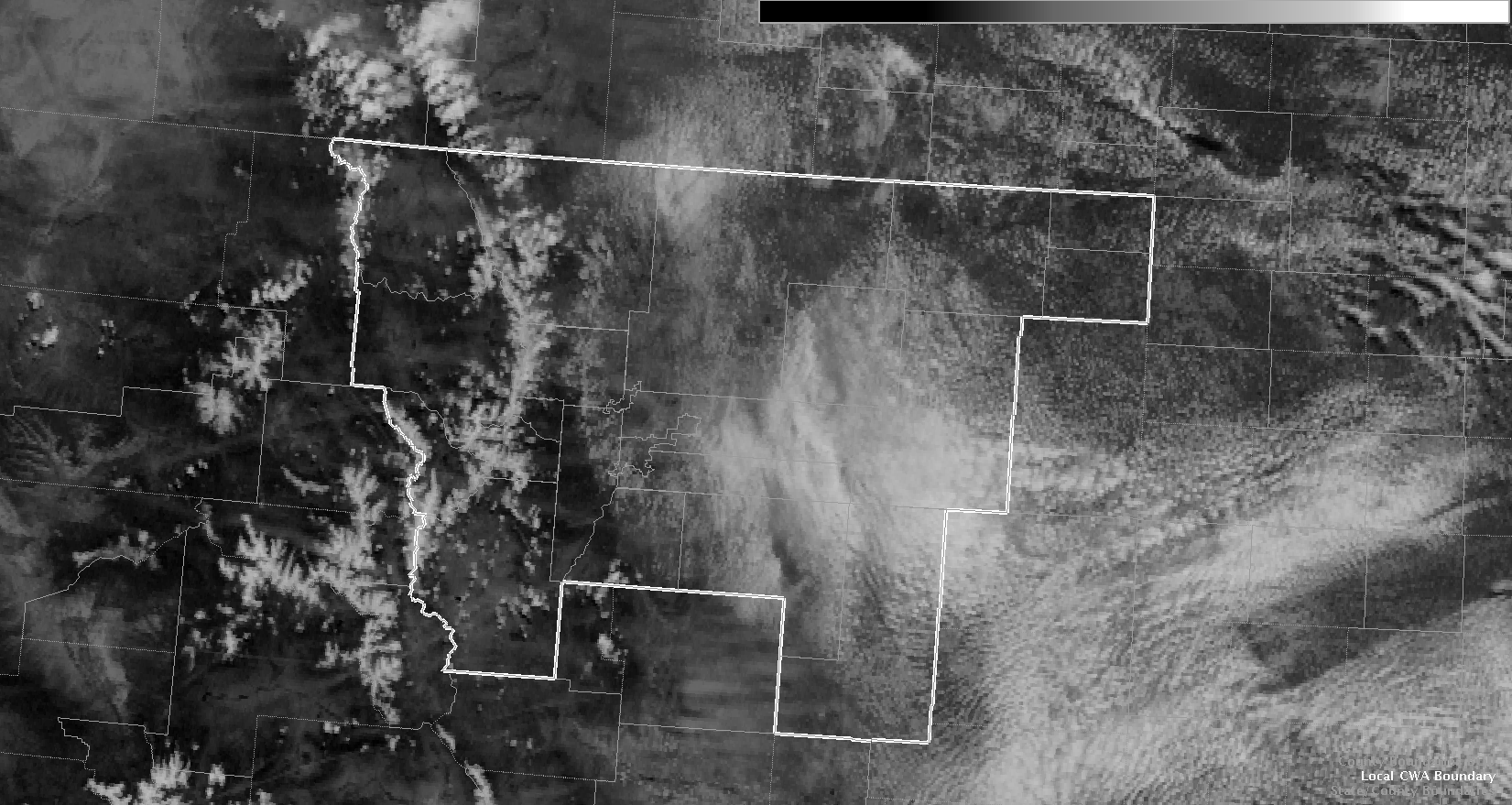
Cutoff H5 low pressure passing across the TN valley and southern Appalachians today/tonight. H5 cold pool working SE across the northern portion of the JAX CWA (SE Georgia) with temps down to -11C through this afternoon into the evening, as noted off the 12Z GFS model.  Inverted trough along the SE U.S. coast with good low level SE wind flow allowing increasing LL moisture to work inland.  Already noting convection has already begun across SE GA and along the GA/FL border at 18Z, where one would expect to see this considering surface and upper level pattern.

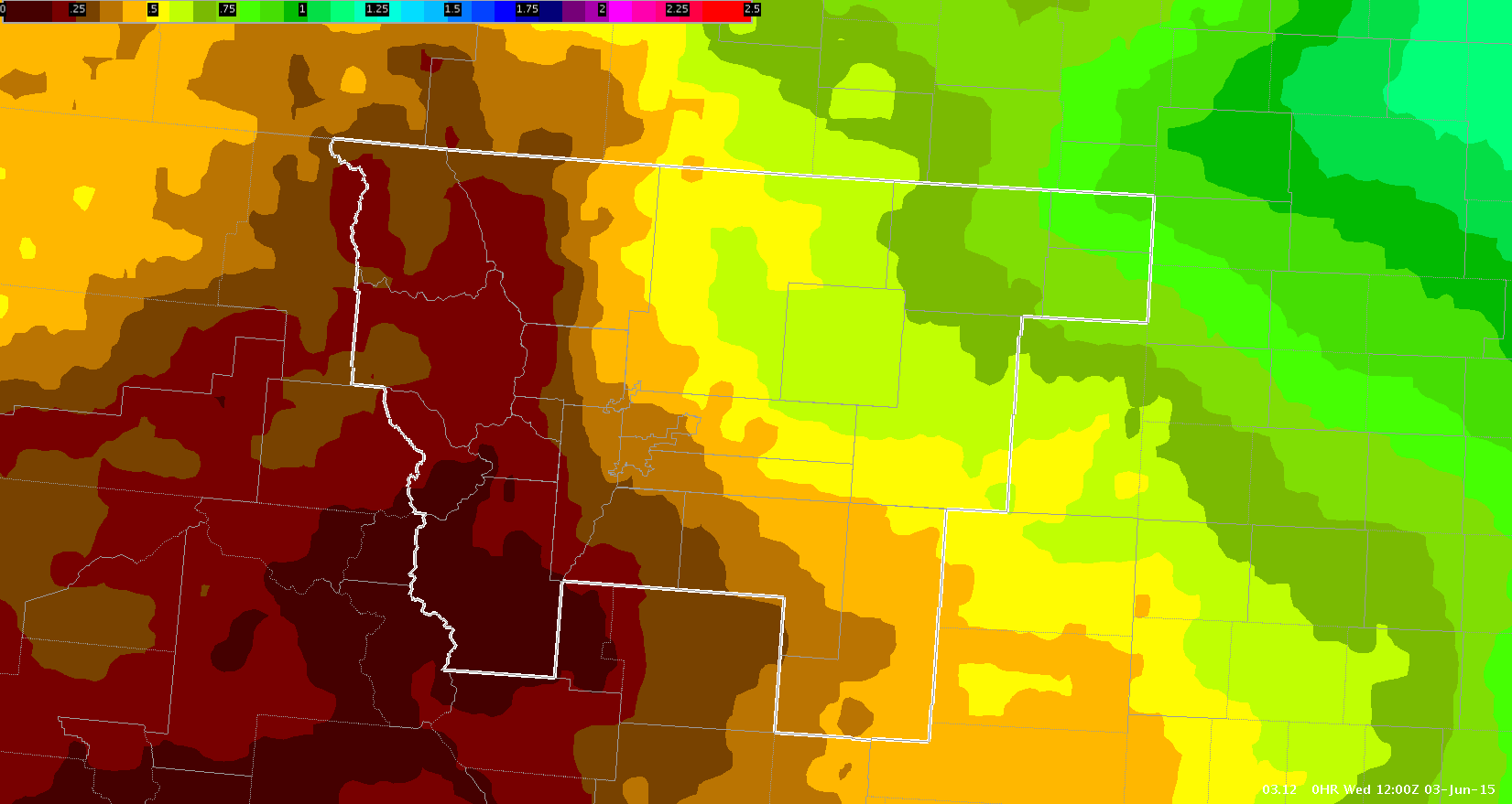
17Z HRRR model also showing discrete cells and clusters developing across SE and S central GA into NE FL during the afternoon.

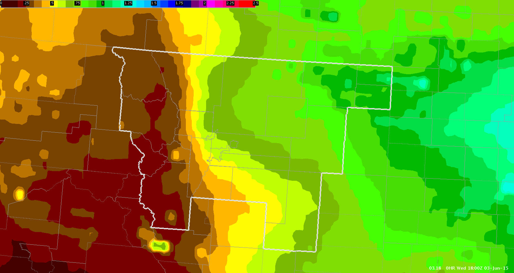
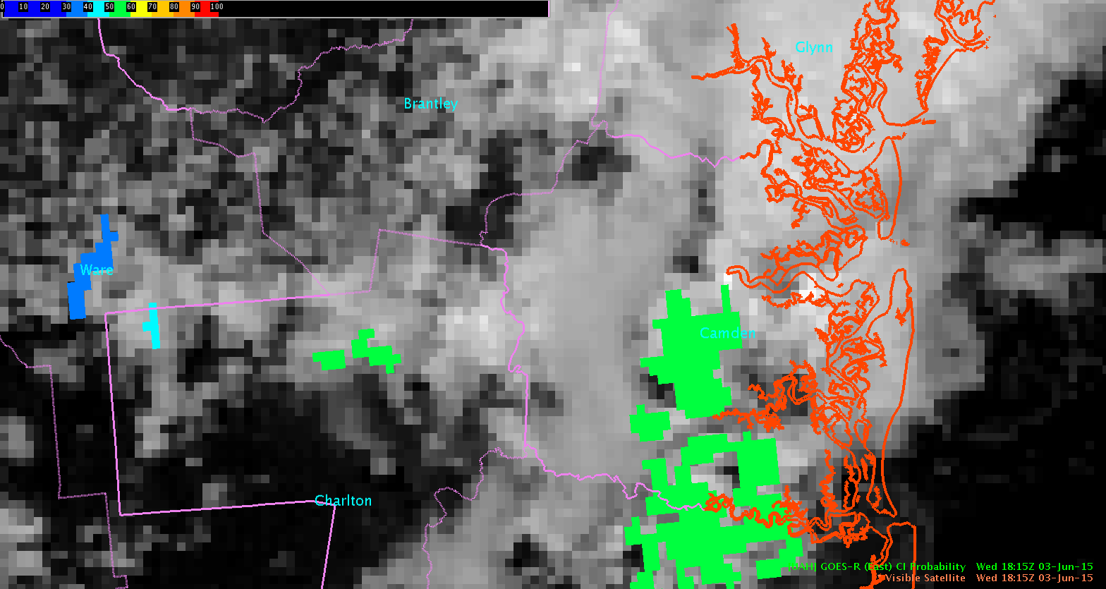
Both models showing cold front moving SE into northern SC and GA this evening/tonight, while moisture continues to feed NW.  Will see good low level moisture convergence mainly from about Atkinson county eastward to Glynn county.  Could see very heavy downpours with some thunderstorms, along with the possibility of strong winds and hail.

CoonieCatEye

Tags: None