CI Increasing – Developing Convection?

CI percentages are increasing across western MN late this afternoon. MLCAPE values in this area ahead of a cold front have increased into the 1000 to 1500 J/kg range… with deep layer shear in the 40 to 50 kt range. This may be the first signs of a possible line of strong to severe storms developing over the course of the next couple of hours. CI.possible.convection

-Wacha

Tags: None

CI and Overshooting Top observations

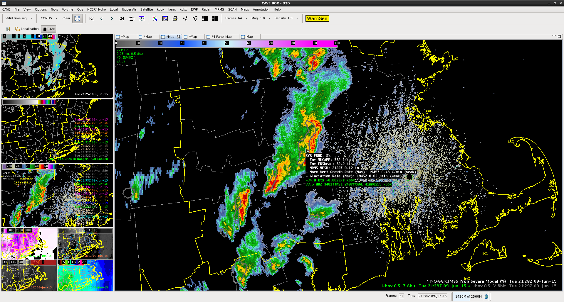
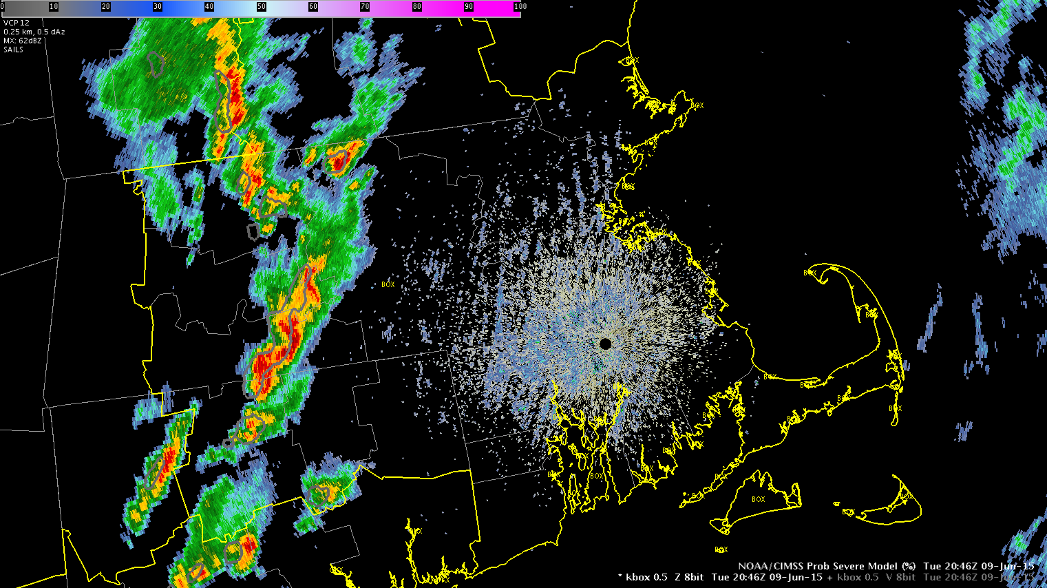
Living vicariously through Minneapolis and Aberdeen…

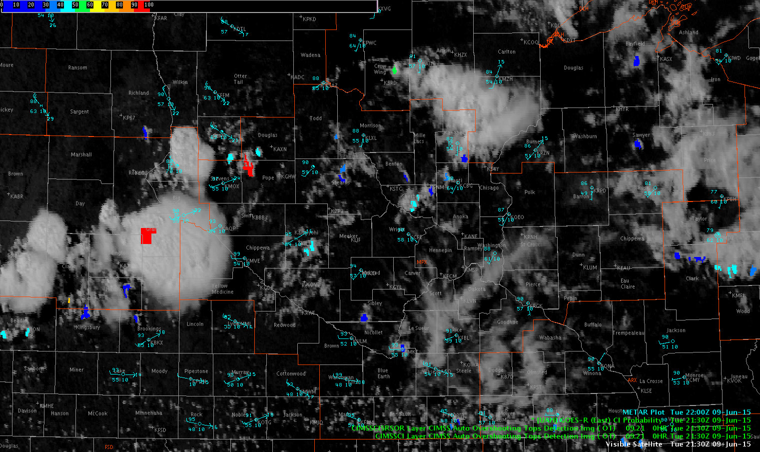
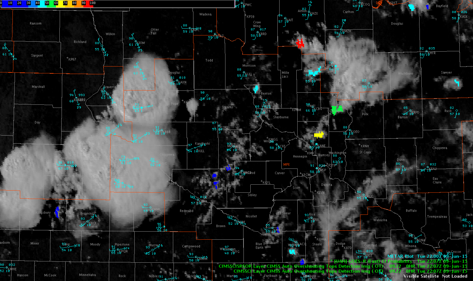
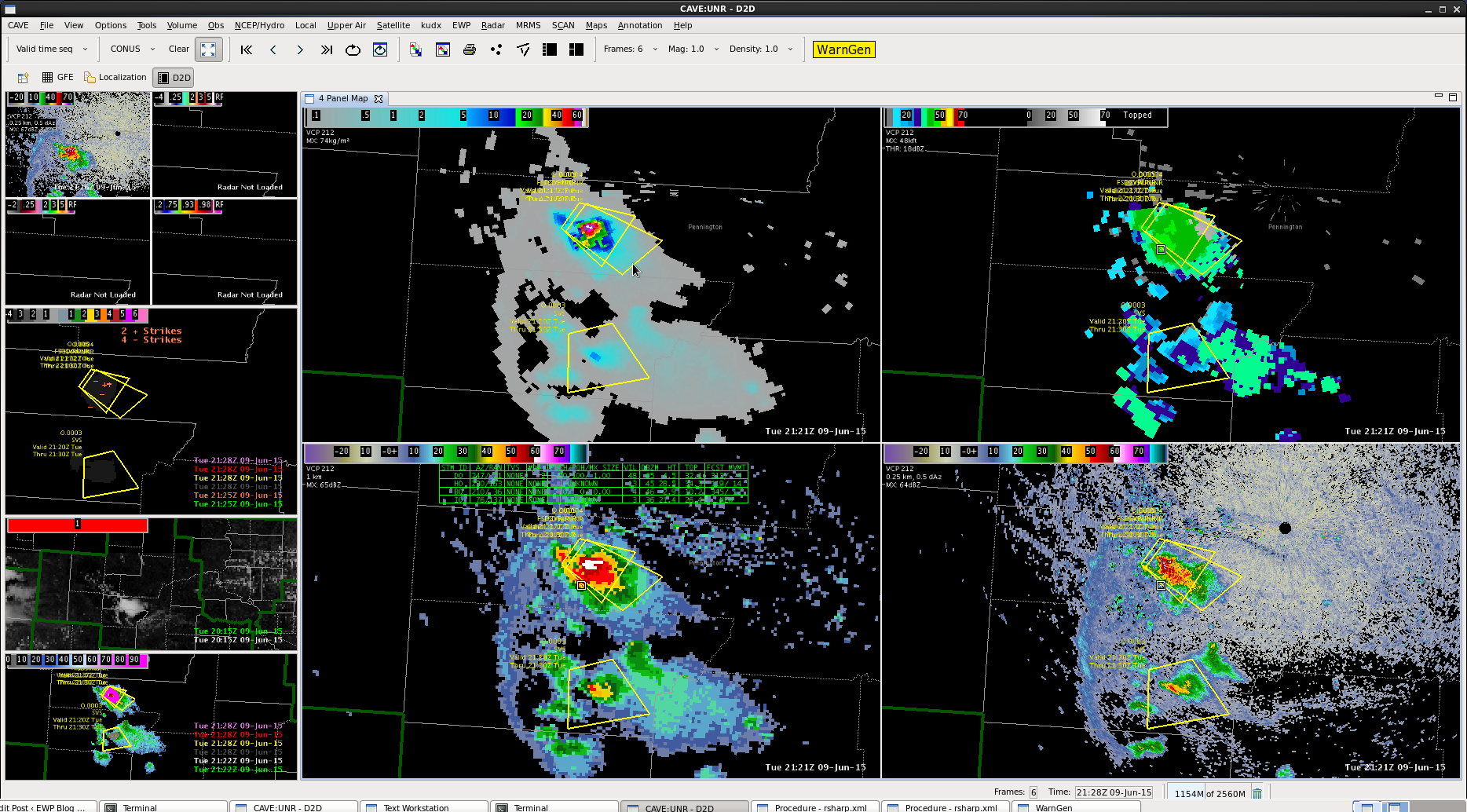
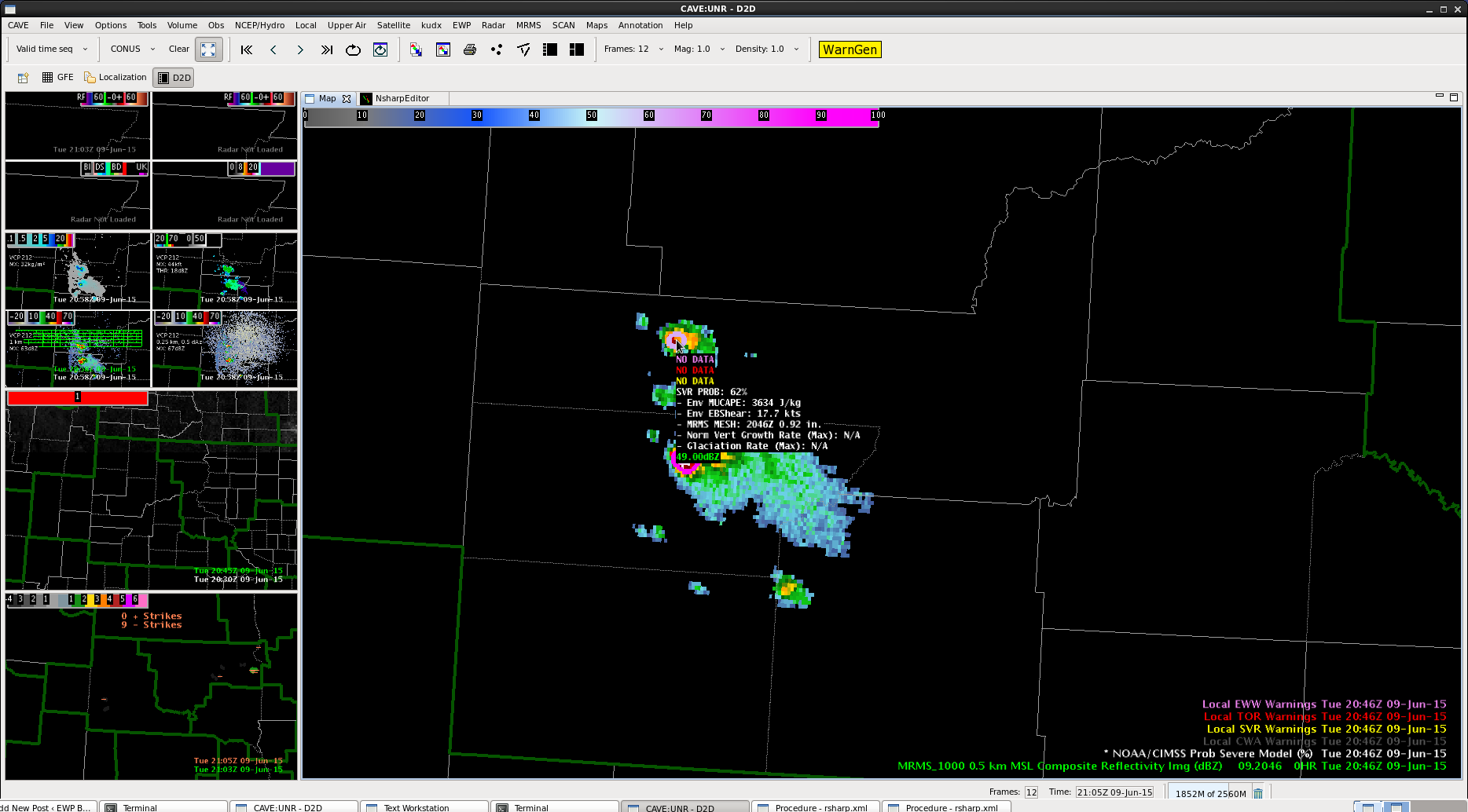
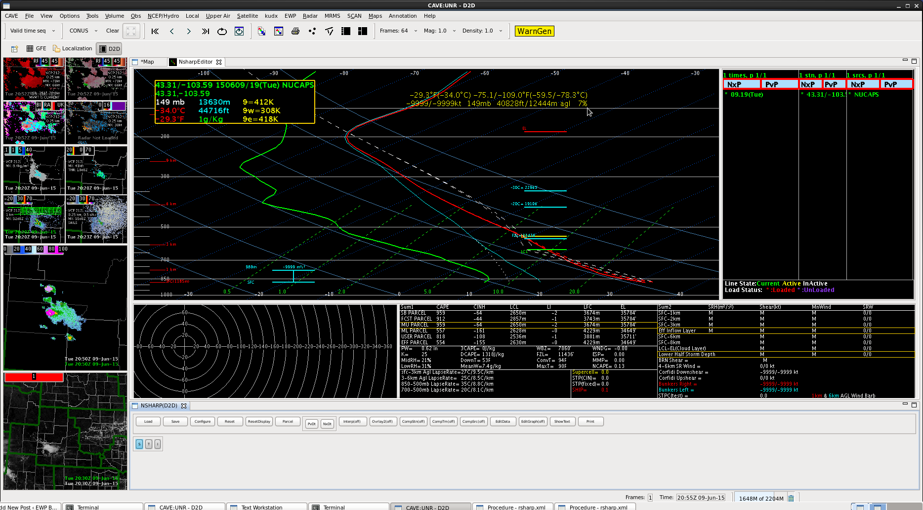
The 2130Z Visible with the overshooting top and CI overlaid shows a few interesting things. There is currently an overshooting top with the strong/severe convection over Grant County, SD. Current IR Imagery shows a core of -58C surrounded by a broad downwind anvil of approximately -53C. There is a tighter gradient of cloud temps on the upwind side of the anvil, with temperatures on the edge dropping quickly into the upper -40s C.

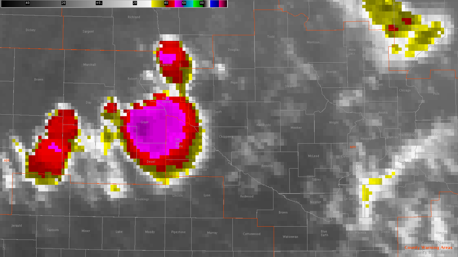
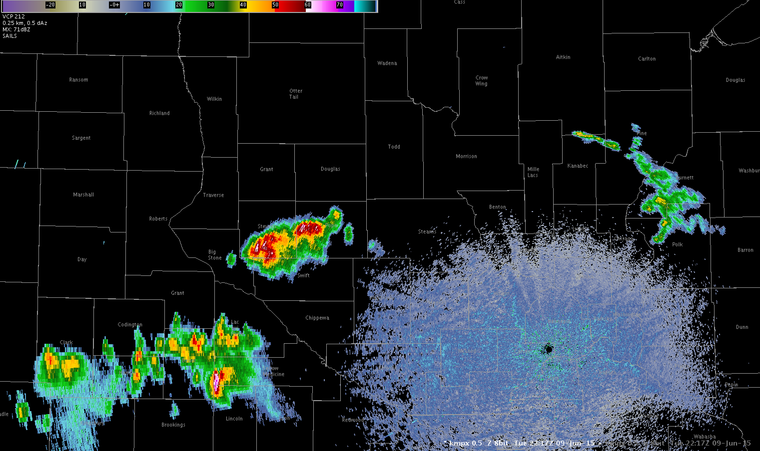
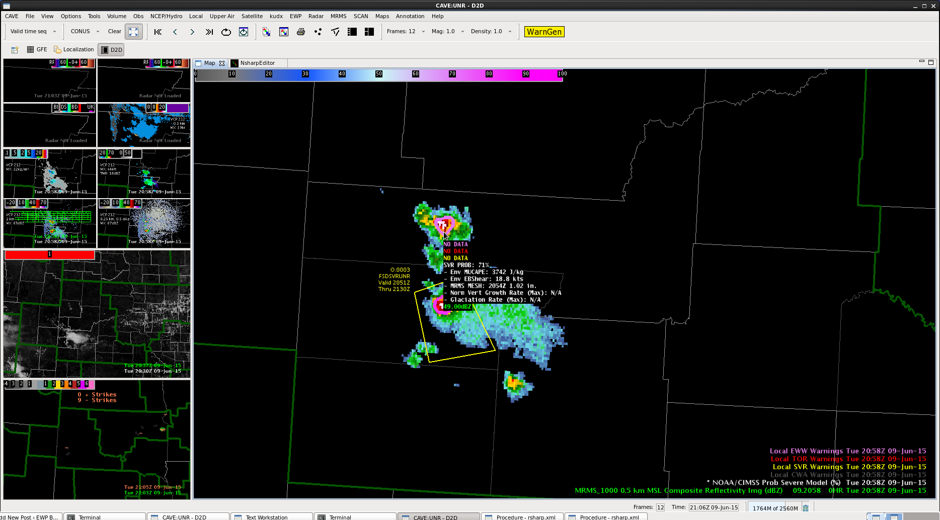
Also, the CI values began to highlight an area east of the ongoing strong convection with two scans showing greater than 90% chance of convective initiation. On the corresponding 2130Z radar image out of MPX, only a weak shower is shown.
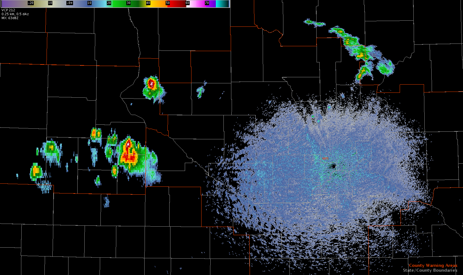
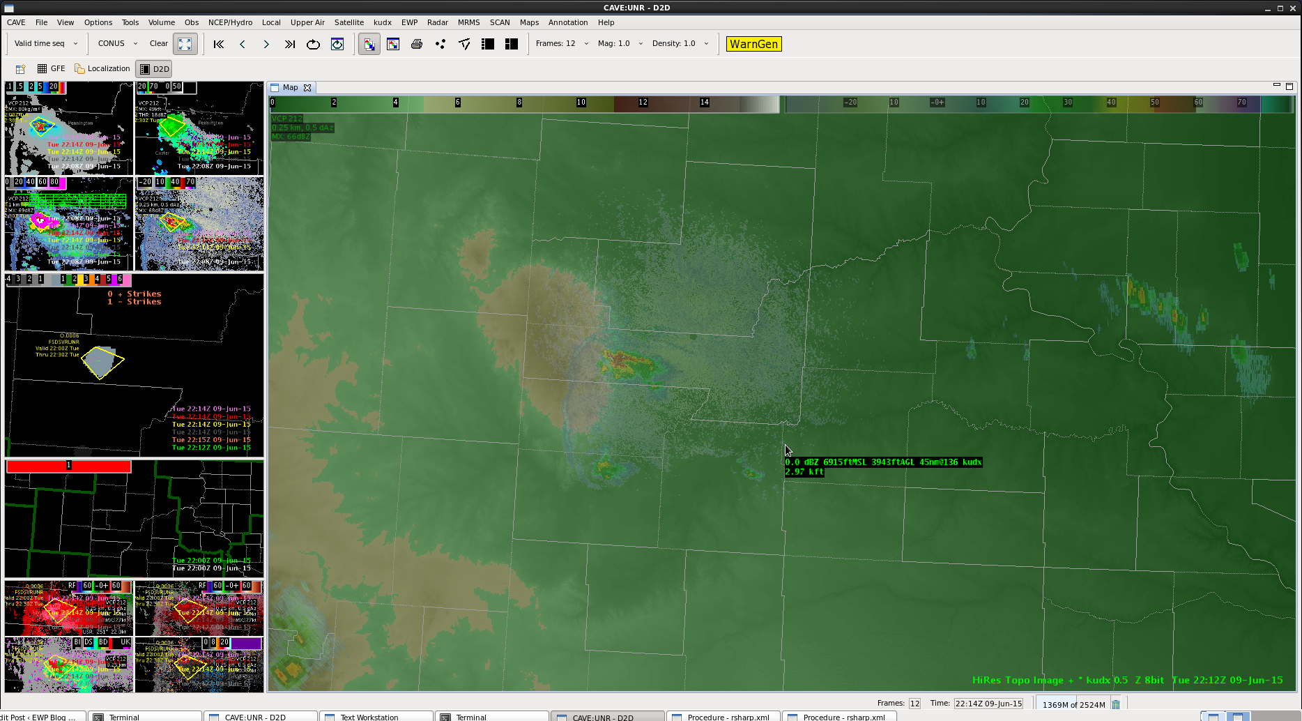
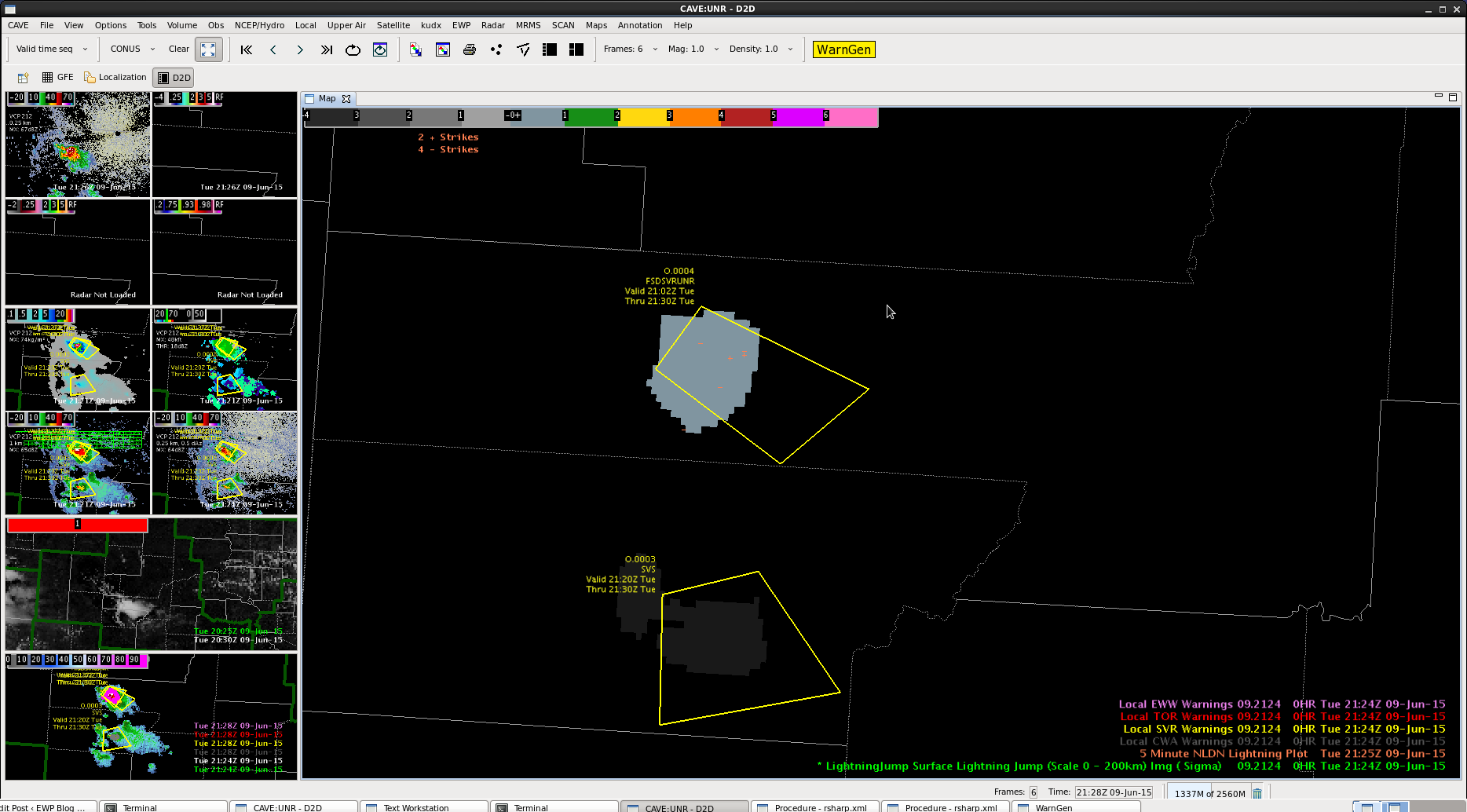
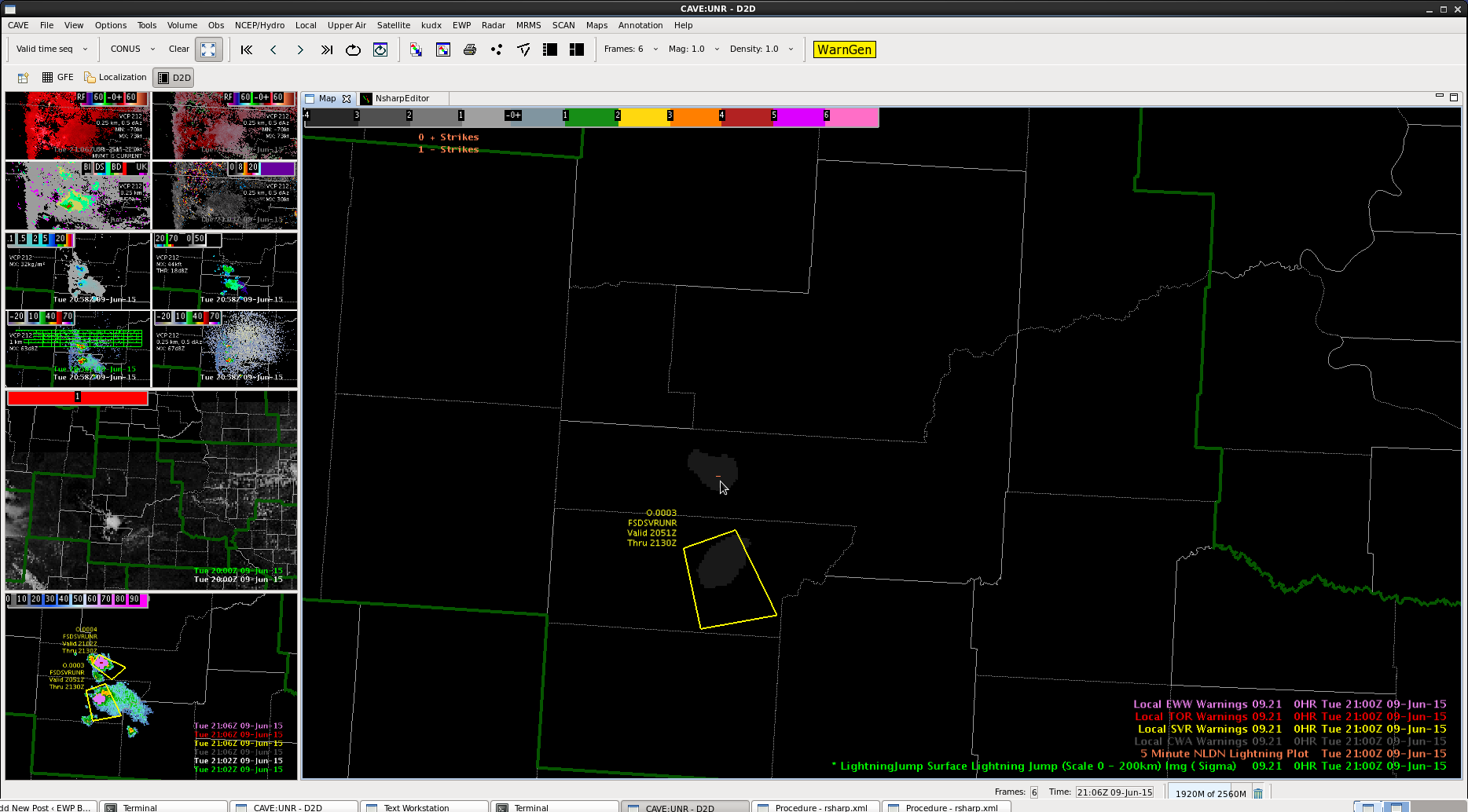
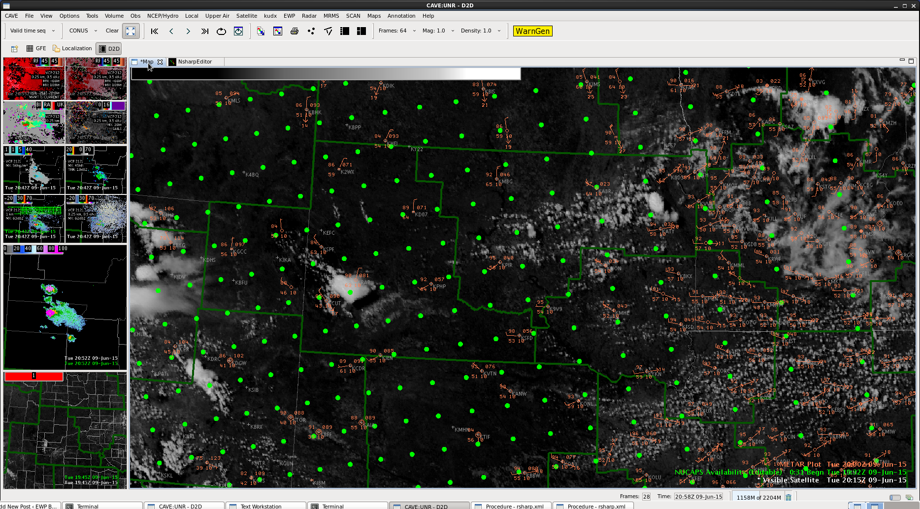
Fast forward to the

CI2130IR2130


Reflectivity2130

Flash Forward to 2207Z, there has been no further development with the cell that showed promise in the CI in Pope County, MN

CI2207Reflectivity2207

-Shasta

Tags: None

UDX topography

UDX_topo

Storms have been forming along the same area for awhile, likely leading to flash flooding.  Linked the radar to the topo maps to see why.  It’s forming right along the Black Hills with a 3 kft height change over the area.

Tags: None

Fourth SVR Charley

svr4_udx_1 svr4_udx_2 svr4_udx_3 svr4_udx_4 svr4_udx_5 svr4_udx_6 svr4_udx_7

Cell continues to look like it is dropping some kind of hail.  Actually may be stronger at this point.  Did have a stronger sigma lightning jump, 5 sigma.  Dual pol data HC showing Hail-rain down to the 0.5 degree tilt, and that is fairly close to the radar.  Have 50 dbZ up to 32 kft.  DVIL higher than before as well.

Tags: None

ENI Lightning products/CIMSS Prob Sev in BOS


JENI_data_warn


Lighting products even thunderstorm alert not picking up on cell that had a report of wind damage.

onemin_ltg_bos


One minute lightning showing strikes but not sufficient enough for products on the first frame

probsev

CIMSS product showing low prob of severe.

Noting that with the short line segments, somewhat marginal conditions for severe weather, with wind being the highest threat, that the lightning products and the CIMSS prob severe product has not helped us pick out the storms with highest probability of producing at least close to severe wind. We were watching closely the cell that we eventually warned on over Worcester Co. and decided to issue when we received a report of trees/limbs down by law enforcement.

Tags: None

Third SVR UDX Charley

svr3_udx_1 svr3_udx_2 svr3_udx_3svr3_udx_5

Signal for higher DVIL with the northern cell.  ProbSevere still indicating severe and we have evidence that it can still be a good product when watching a discrete cell.

Lightning data still seem suspect, with low sigma for jumps, but very low CG data as well.  Wonder if not as good of a network in this area?

Tags: None

CIMSS Prob Severe confirming our radar interrogation

probsev_bos

Just noting current frame and prob severe has been confirming what we have seen on radar some short bowing line segments and we agree the threat seems to be wind…but from what we have been seeing on velocity products they have not been meeting severe criteria. Although we did just receive a report of some trees down in Worcester Co…maybe our first warning.

Tags: None

Second SVR UDX Charley

svr2_udx_1 svr2_udx_2svr2_udx_3 svr2_UDX_4

Quick trigger on second storm, as pattern seemed to allow for quick development.  ProbSevere was high on the initial cell here too.  Was little in the way of lightning as well.  DVIL collapsed soon after warning issued though.


Tags: None

Cell in SD

Despite rapid initial cloud growth, it took a little time for the cell in Custer Co. to mature. Before any type of warning was being considered, a 90% ProbSevere showed up before lowering to ~30%. While working on another monitor, the ProbSevere jumped back to ~90% which grabbed our attention and ended up leading to a warning being issued. We issued an SPS about 7 minutes prior.

Working in this environment of cells vs lines, it’s easy to see ProbSevere is much more accurate.

ProbSevere0609Warn0609

Tags: None

UDX NUCAPS sounding


NUCAPS_UDX

Initial NUCAPS (below) had a low SBCAPE, based on dry conditions.  Temperature looked good on original sounding, but when I moistened the environment up (image above), got to the 4500-5000 CAPE SPS meso was showing earlier.  Large spread of dewpoints over the area, likely b/c of topography?  Perhaps the RUC smoothes over those dewpoint changes and that’s the reason SPC meso had the large CAPE.

NUCAPS_UDX_original

NUCAPS_UDX_METAR

Tags: None