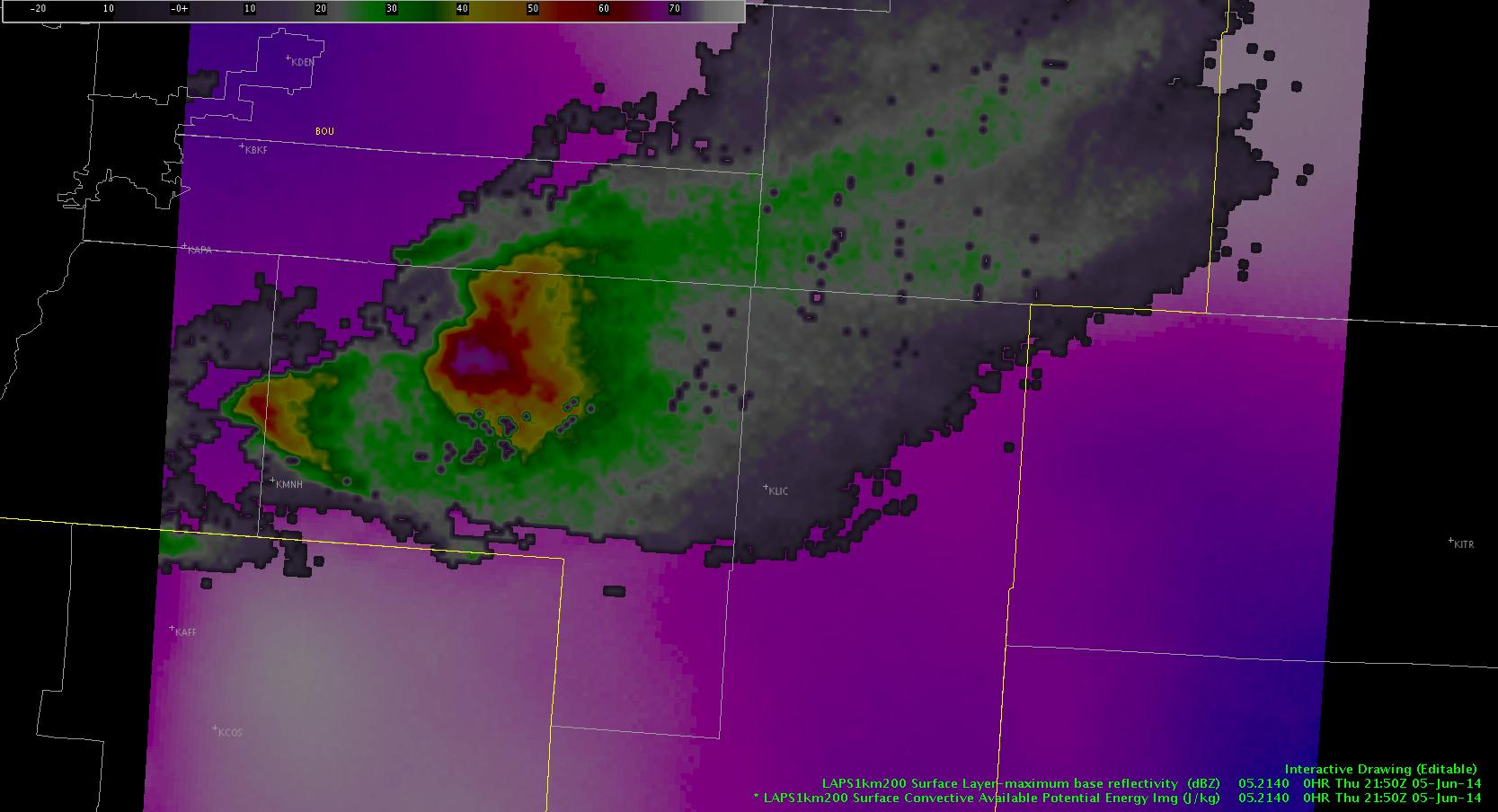
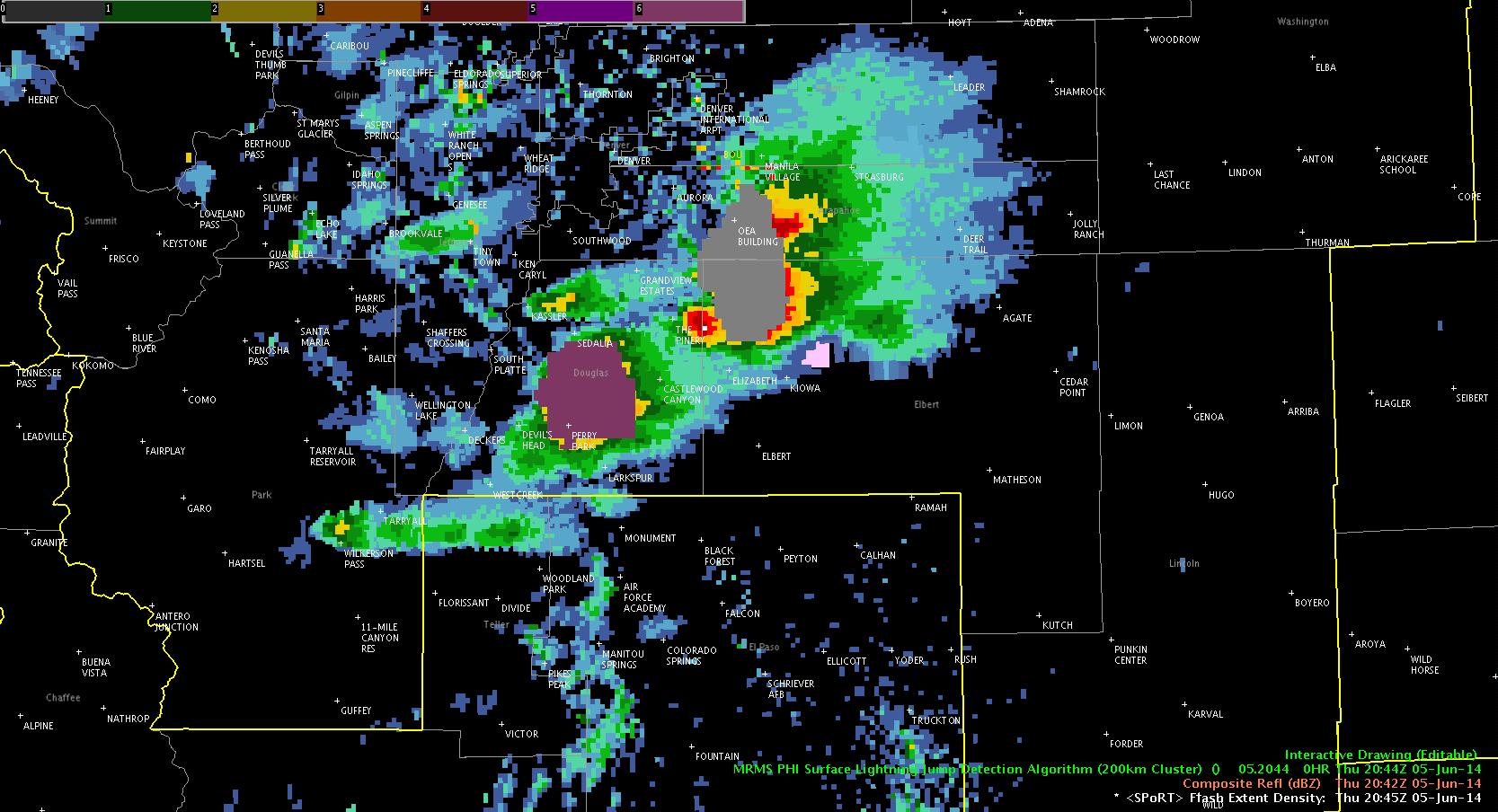
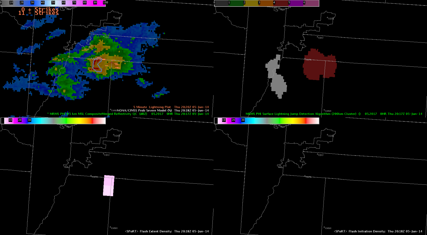
Today, we started operations in the Boulder and Pueblo CWAs, anticipating the development of severe storms in upslope flow in the lee of the Rockies. Our hope is to have the Boulder group (Anderson and Fowle) monitor the Colorado lightning mapping array during the event.
Given the paucity of cumulus clouds in the Pueblo CWA, we believe that convective initiation will hold off until later. Also, lightning activity is increasing in the Huntsville lightning mapping array as an MCS approaches from the west-northwest. Thus, we have decided to re-localize the Pueblo group (Pelczynksi and Satterfield) to Hunstville.
-G. Garfield
Week 4 Coordinator


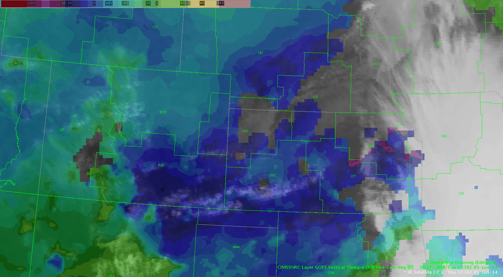
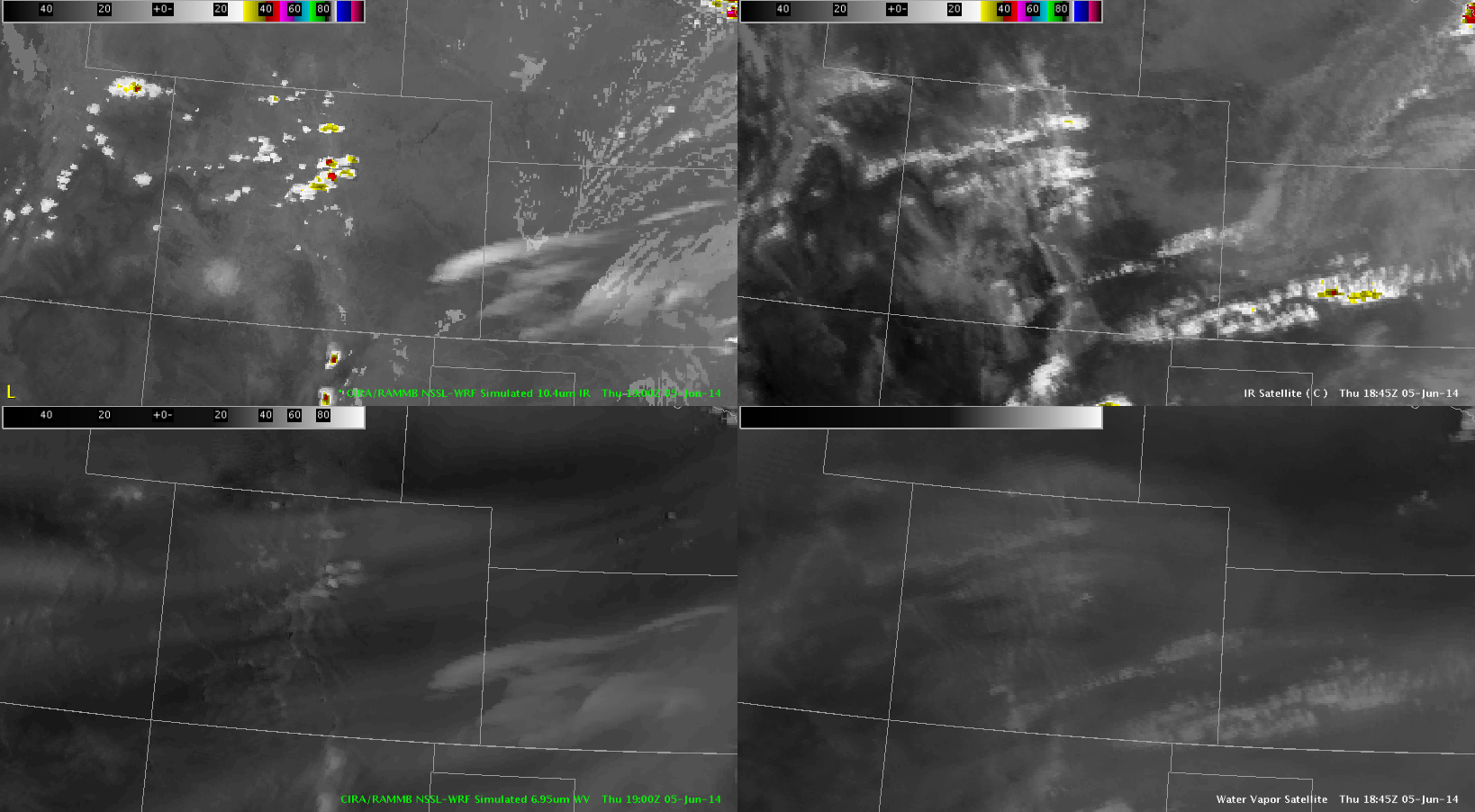
 This is another example of GOES E vs W seeing CI. In this case, GOES-W showed a fairly large area of 79% while goes east showed little if anything. These clouds did end up developing into echoes well over 35 dBz within 30 minutes after these images were taken.