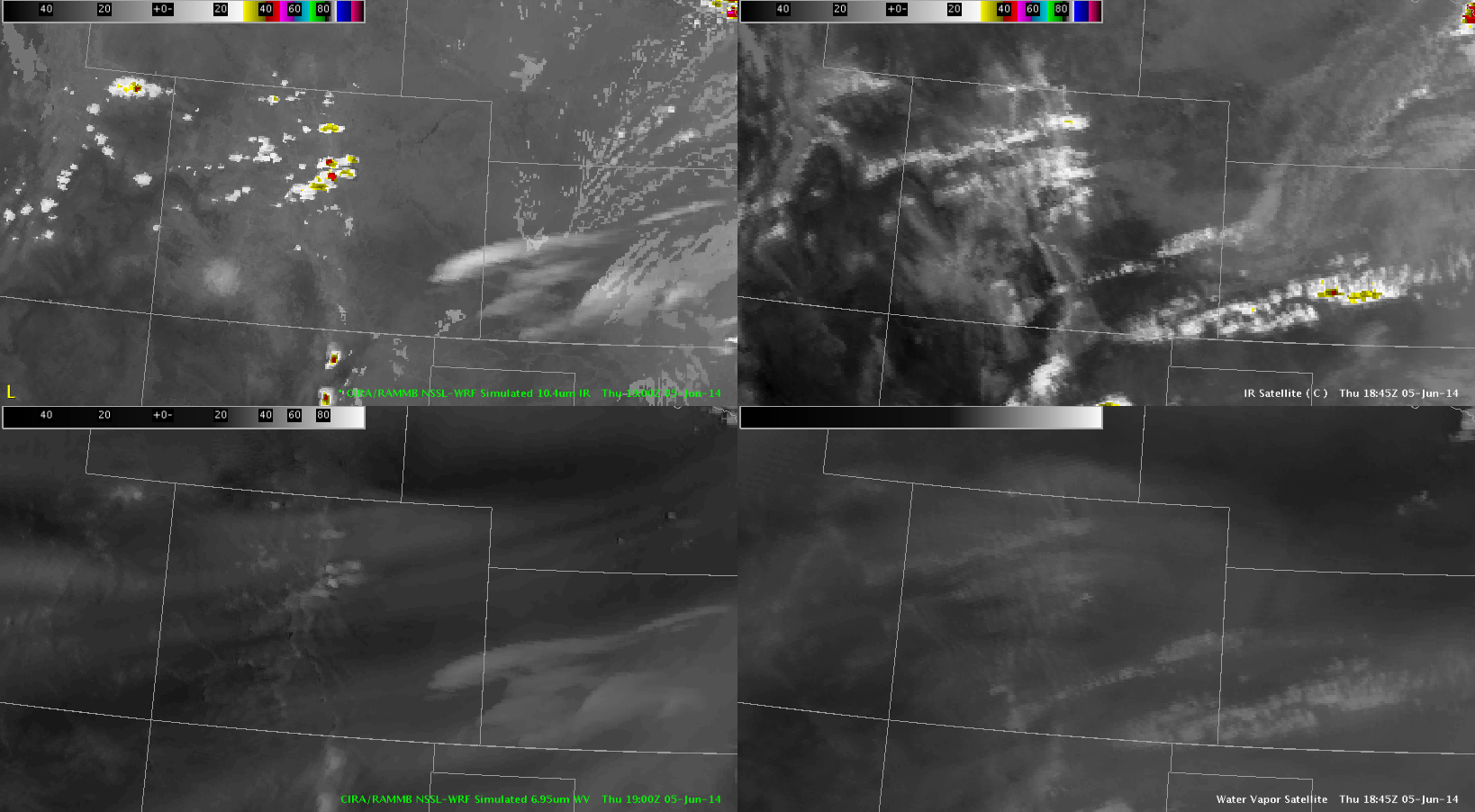
Started off the day by examining the Simulated Satellite products. Overall – they provided a good starting point over CO. It showed the stratus burning off in eastern CO in about the right time. Plus – CI initiates around 18-19z which is evident in the actual satellite obs. Thus – the NSSL WRF should provide an accurate depiction of overall convective evolution.
18z Top – 19z Bottom