
If two or more DTA polygons are displayed for the same cell, only display the highest level DTA. This will eliminate some of the clutter due to numerous DTAs.
 Lynford
Official websites use .gov
A
.gov website belongs to an official government
organization in the United States.
Secure .gov websites use HTTPS
A
lock (
) or https:// means you’ve safely connected to
the .gov website. Share sensitive information only on official,
secure websites.

If two or more DTA polygons are displayed for the same cell, only display the highest level DTA. This will eliminate some of the clutter due to numerous DTAs.
Lynford
We have been watching numerous cell along a line in the western CWA. The display would be less cluttered if the flash rates displayed were above a configurable threshold, for example do not display cells with a rate less than 10.
 Lynford
We have been tracking a multicell line of storms through the western CWA. Cell Flash rates and Cell Polygons were overlayed on radar data as well as DTA Alerts. Algorithm gave a zero flash rate??  Lynford
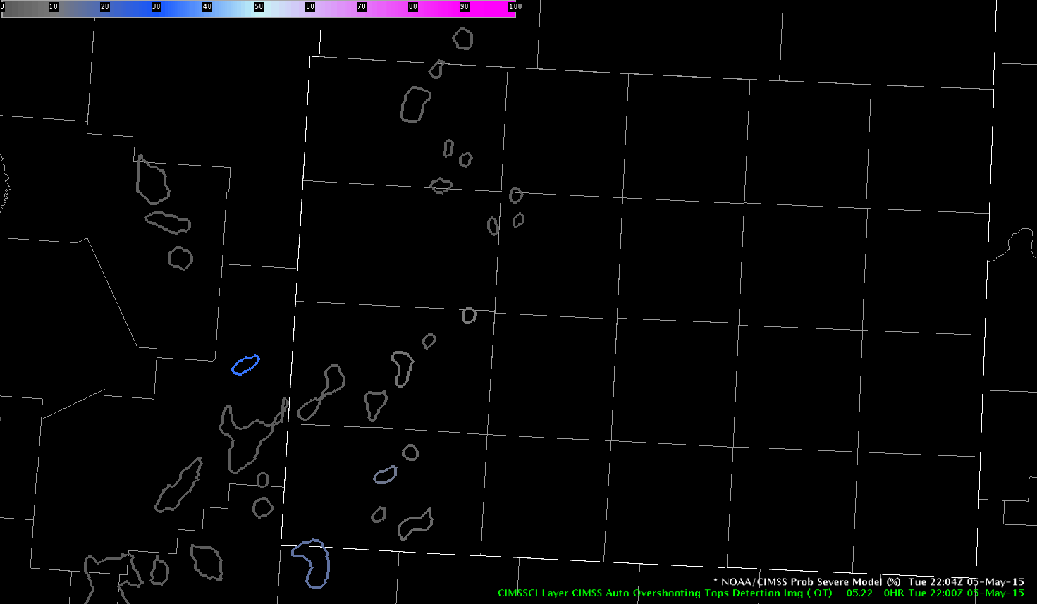
There appears to be another issue with ENI lightning double-centroid, this time with a double DTA for essentially the same cell. (Lamb County, 2230Z)

Issued warning for the sw CWA. Based on high dBZ well past the -20 level. Warning was issued at 2213z. Prob of svr increased to 51-53% from 2208z to 2216z.

 Lynford
In the AMA area today, a double centroid was observed at 2203Z with one of the centroids going above 40 flashes/min, prompting the level 3 DTA, though probably erroneously as the before (2159Z) and after (2208Z) centroids were 20 flashes or less. Also, why did the algorithm produce two centroids of similar size at 2208Z?


 Brick Tamland
At 2045Z, noticed a delay in gridded total lightning. Staff found out there is a 10 minute delay on the SBN.
Lynford
Pass came across with NUCAPS available at 20z. Looked at 19z data from a point close to AMA which launched an 18z sounding. First image is NUCAPS, Second image is the 18z AMA soundings. Differences notices were cooler temperatures above 300mb on the NUCAPS sounding. There was a small but more distinct cap near 800 mb on the AMA sounding. The freezing level and -20 level had dropped on both soundings compared to the 12z AMA sounding.

 Lynford
GOES-R/CIMSS CAPE values continue to increase across southeastern portions of the Albuquerque, NM, area towards the southwestern portions of the AMA CWA. Values are not markedly high, on the order of 400-500 J/KG, but skies continue to clear in the wake of convection earlier this morning allowing for greater destabilization later this afternoon.
 The UAH GOES-R convective initiation probabilities continue to also increase for southeastern portions of the ABQ CWA and southern portions of the AMA CWA. Reflectivities remain weak moving northeast in the southern AMA CWA, but expect coverage to increase as the storms move into the more favorable environment.
 Brick Tamland
Briefing and water vapor loop showed short wave crossing north central New Mexico. Drying on Water vapor loop lines up with the clearing on the leading edge of the short wave. Better indications of CI in far sw CWA. CAPES have increased to near 1100 J/KG just south of the forecast area. Have DTA set up and awaiting the next pass for NUCAPS availability. 

Lynford