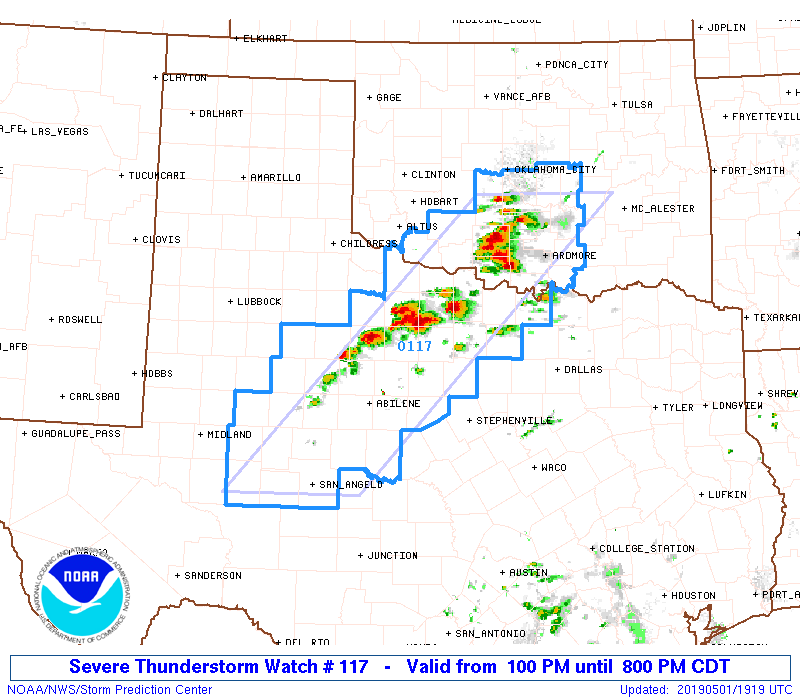
Today’s operations will be focused over the OUN (Norman), SJT (San Angelo), and FWD (Dallas/Fort Worth) county warning areas. We are highlighting operations south of a remnant outflow boundary that has been left from storms that occurred overnight/early this morning roughly in the area of the Red River Valley. Storms are currently on-going at the start of operations, with a severe thunderstorm watch over the operations areas that stretches from central OK all the way down to SW Texas. Supercells will be the primary storm mode to start but might transition to a linear system later in the operations period. The main threats today are large hail and high winds but tornadoes are still possible (lower probabilities than yesterday though).

An official website of the United States government
Here’s how you know
Official websites use .gov
A
.gov website belongs to an official government
organization in the United States.
Secure .gov websites use HTTPS
A
lock (
) or https:// means you’ve safely connected to
the .gov website. Share sensitive information only on official,
secure websites.
