AZ Shear imagery

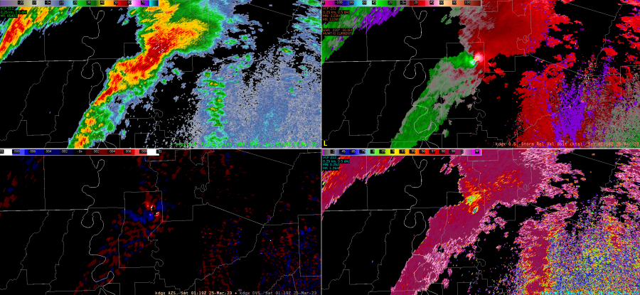
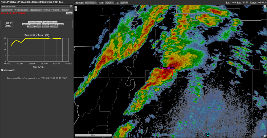
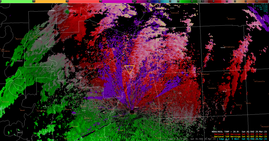
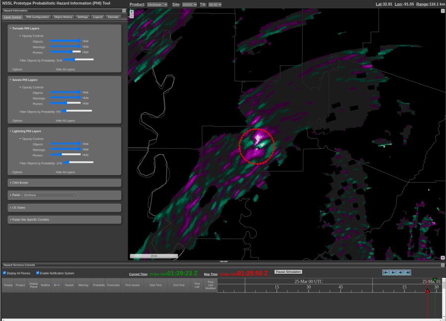
So far, I am finding this tool very helpful. However, I am wondering where I will put this on my typical setup. Add it to my 9 panel? Or make a whole new procedure? I think it may be repetitive to flip across procedures when I have SRM, ZDR, etc suggesting a TOR. Not sure it would be helpful enough to make a whole new procedure for.

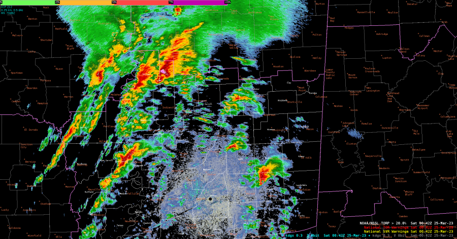
Interested to see how it handles weaker tornadoes as well.

Tags: None

First Impressions of TORP, AzShear, and DivShear

Right off the bat, I notice that the icons for TORP, even when loaded with maximum line thickness, can easily get lost if the brightness of your loaded radar reflectivity is too high (top image below). By reducing the brightness to 75%, the TORP icons became more noticeable (bottom image below).


It was reassuring to see TORP perform well with the knockout cases. I would have been concerned if it missed a tornado signature this prominent. This increased my confidence in using it at the very least as a situational awareness tool. An example below:

It’s evident that TORP maintained very high probabilities the entire track of this confirmed violent tornado (>99%).

However, the limitations were still glaringly apparent at times, with a >20% probability for a tornado being shown in an area of noise (below)

– Mr. Peanut


Tags: None

Using PHS to analyze an area of surface based convective potential

The potential for surface based convection will be important for the severe weather coverage in the CYS CWA this afternoon/evening. The 19Z PHS model is forecasting a northwesterly push of instability which is depicted above in the left panel moving into the far southwest counties of the CWA. To the north of that instability axis the PHS is depicting still elevated convection that is going on this afternoon. Additionally it is depicting surface based convection in northern Colorado, which may impact the moisture feed further north into the CYS CWA. I would highlight the far southeastern portion of the CYS CWA for a severe thunderstorm potential in my DSS/public messaging, with more uncertainty further north.

-Joaq
Tags: None