
20:25Z
LightningCast depicts well the ongoing convection north of the CWA and moving in from the west
Snowfan
Official websites use .gov
A
.gov website belongs to an official government
organization in the United States.
Secure .gov websites use HTTPS
A
lock (
) or https:// means you’ve safely connected to
the .gov website. Share sensitive information only on official,
secure websites.

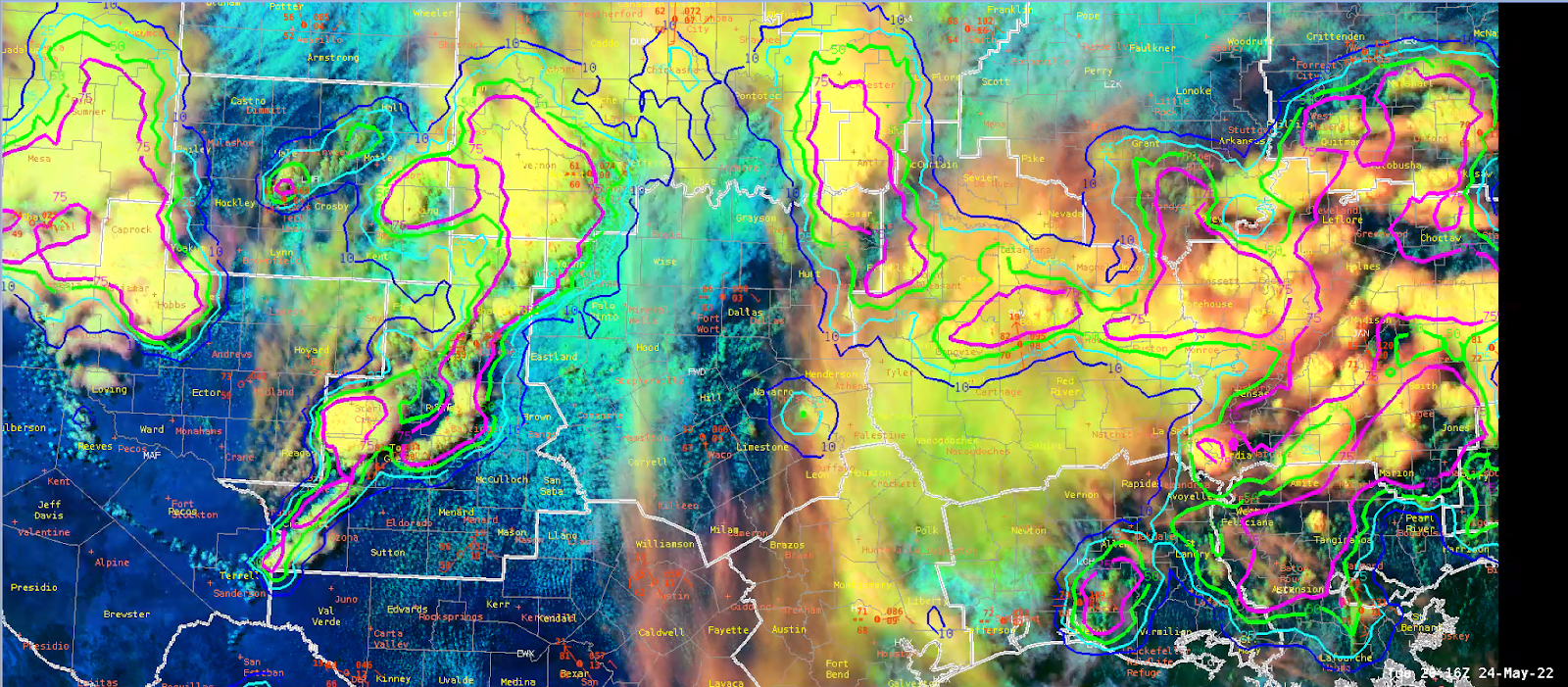
20:25Z
LightningCast depicts well the ongoing convection north of the CWA and moving in from the west