
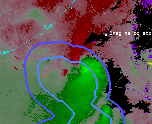
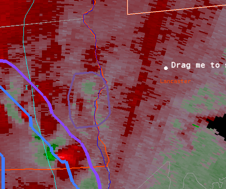
This was the lone tornado warning I issued. It was borderline but a nice MCV wrapped up after this. Likely contributed to some severe winds at times.
This helped lead to a warning at 2146 UTC. This cell was near our southern CWA border. This looked good for hail.
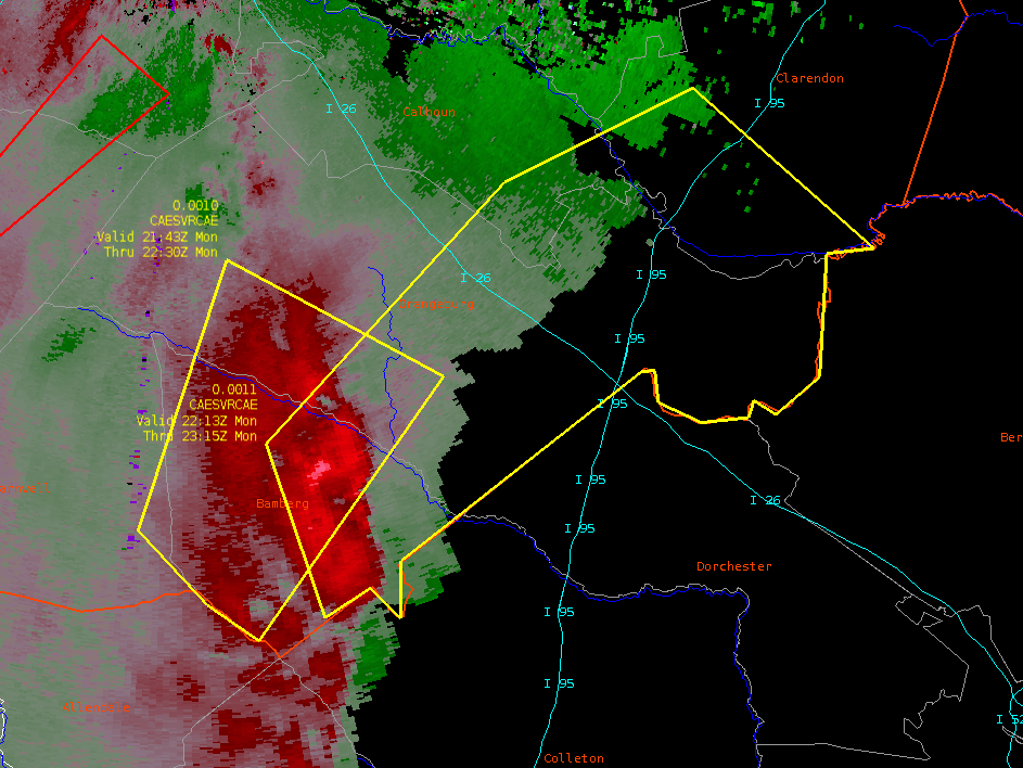
Here is the same storm a bit later when it’s more of a wind threat. 40 kt winds showing up even with a poor radar angle.
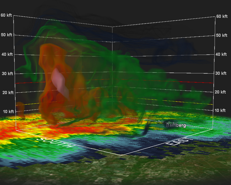
Good overshooting top with that same storm showing up nicely in the DCP.
Other notes. I liked the idea of the micro wind product but it’s too hard to read. Needs work to be usable.
One last minute tornado warning…
- Some Random Guy