
LightningCast for storm approaching Scottsbluff
First instance of 50% contour 1831 Z
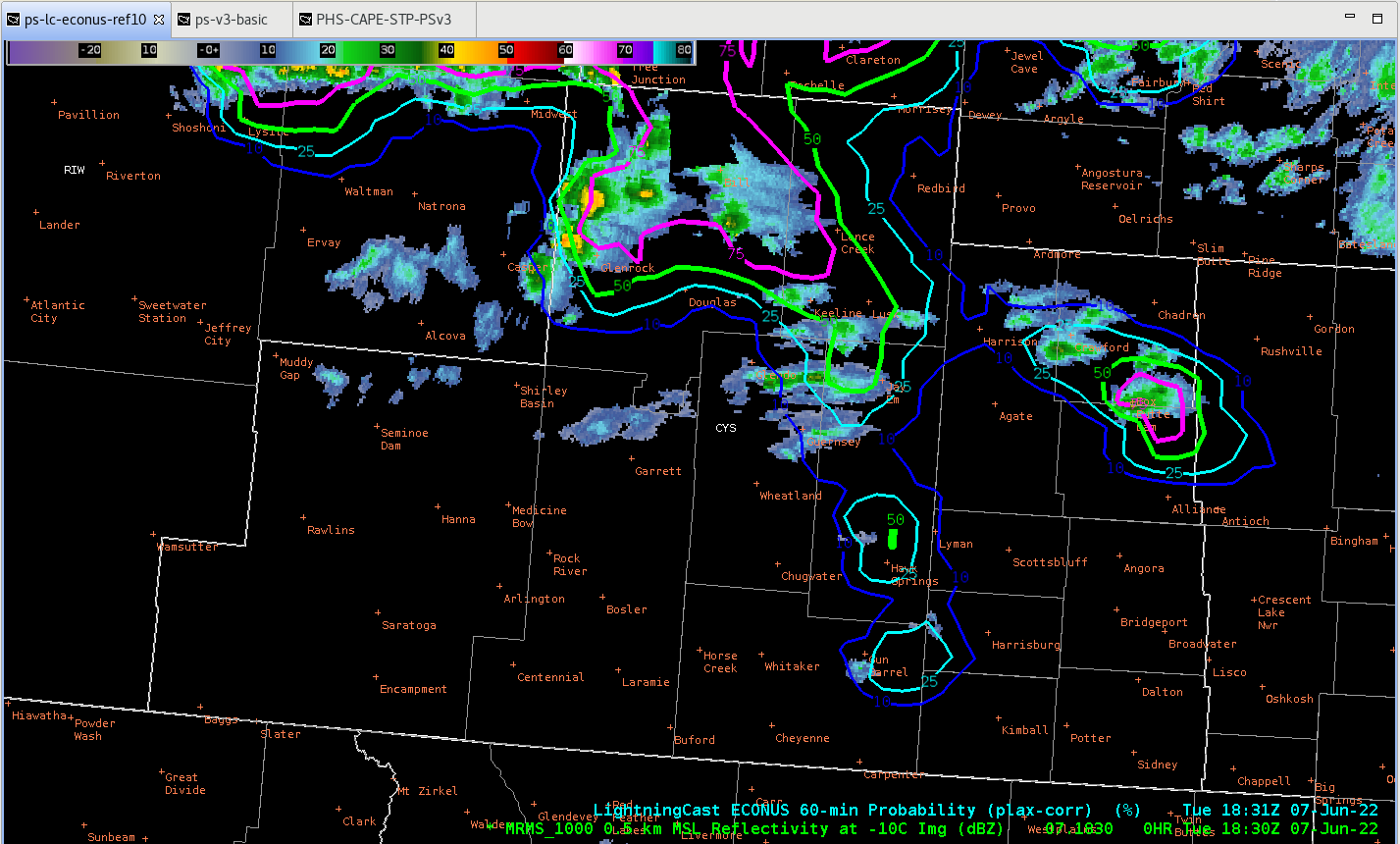
The lightning cast did build before backing off for a few frames, dropping below 50%, but jumps back up above at 1851 Z. From then until the first flashes of lightning, the probabilities continued to increase.
First instance of 75% contour 1906 Z

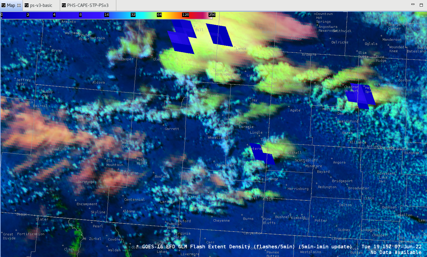
GLM denotes flash 1915 Z
So, lightningcast was able to indicate well ahead of time that we needed to keep an eye on that storm for lightning production as it approached the city.
GraphiCasts with ProbSevere and PHS
For today’s GraphiCast, decided to overlay ProbSevere V3 over visible satellite data to indicate the location of the stronger storms amongst all the clouds. The concern with using it for public graphics is whether the public will understand it. Went with a brief description that it indicates stronger storms for today, but would be curious to see how others message what probsevere means and then how the public may respond to it. I do like how it clearly shows the cells to watch out for.
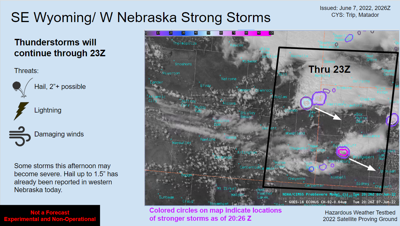
To determine the time that storms would continue through, I only used the hourly PHS data which dropped off at 23Z. The images below show 20Z PHS vs 23Z. This timing for storms ending for the CYS CWA worked out well as the strong to severe storms exited the CWA by 2256Z with only a few isolated showers remaining for a short time afterwards.
20Z:
23Z: 
– Matador