
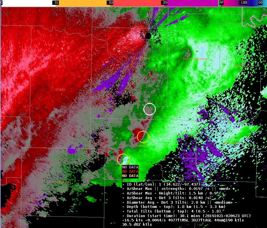
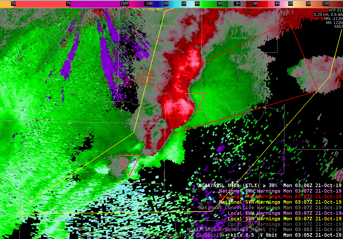
NTDA and NMDA performed well with a strong QLCS as it tracked through central OK. Issued a SVR at 0254Z (Figure 2) as the QLCS was still in it’s developing stage. The NMDA confirmed what I was seeing in base data, in that several decent meso’s were embedded in the line. NMDA detection and tracking were consistent and persistent with the meso features prior to issuance (Figure 1), and increased my confidence that a severe thunderstorm warning was warranted.
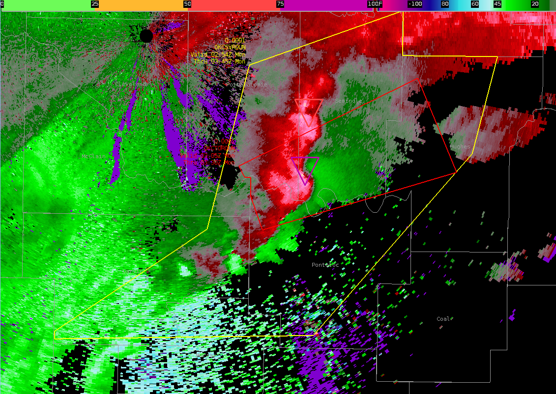
NTDA picked up on a TDS signature embedded within the QLCS at 0229Z, with this feature persisting through at least the next hour. Confidence became high enough to issue a tornado warning at 0305Z as the circulation tightened with strong gate to gate shear evident in base SRM data. The algorithm tripped on the high side at 0250Z with probs of >80% for several scans, but no gate to gate shear appeared until 0305Z when the tor warning was issued. The NTDA maxed out with tor probs of 87% at 0310Z (Figure 3). A tornado was reported at 0313Z 3 miles NE Konawa, OK.
– Bacon Wrapped Hail