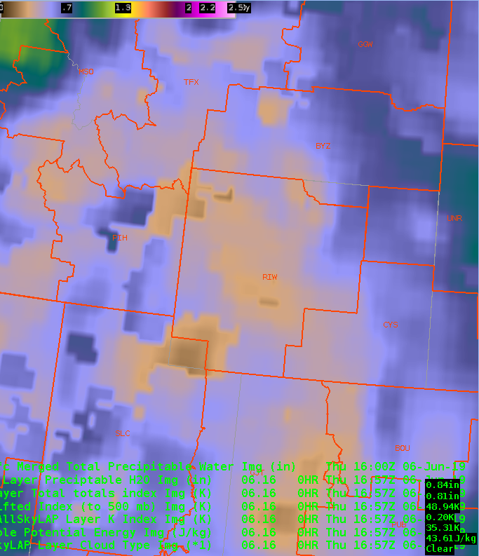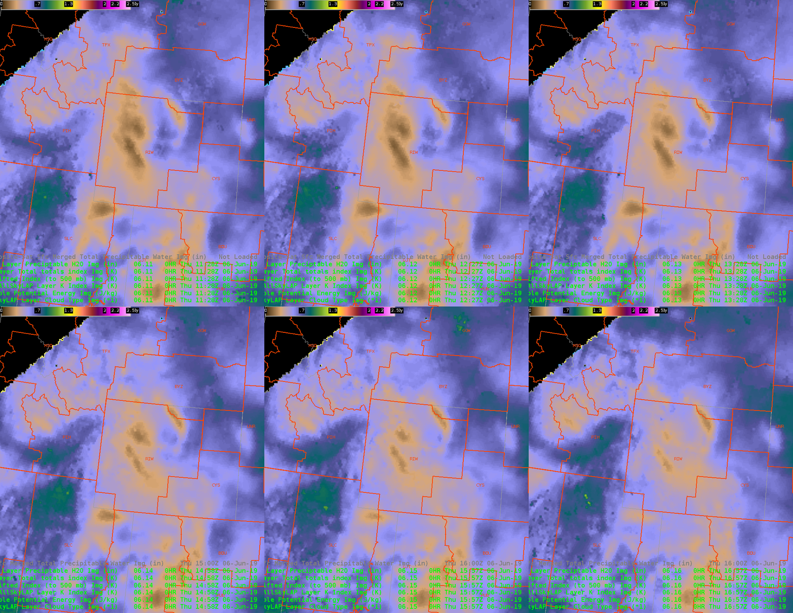

Merged TPW, image above showing an area of higher TPW, 0.5-0.6 in PIH’s area, with values of 0.25-0.4 more over RIW. AllSky product shows a little more variation, with a drier airmass, 0.15-0.25 inches moistening up over the course of a few hours, over the western border to 0.5″. Also seeing those values in the far eastern part of RIW’s area.

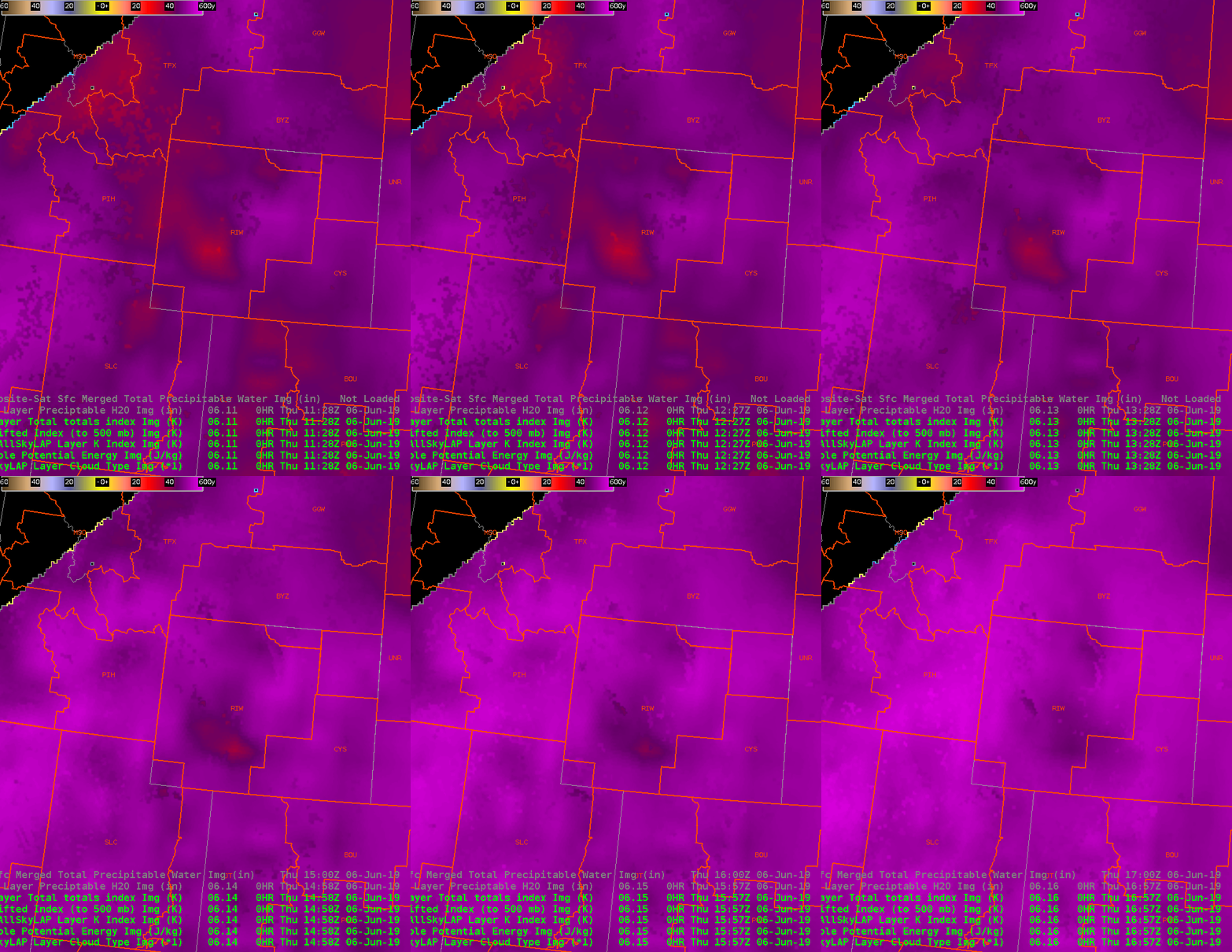
Total Totals are ramping up over time in the AllSky product, from around 40 to a more severe 55. LI’s also are going negative. K index also going for some storm activity, getting to the mid 30s. CAPE’s are higher over PIH, but likewise rising across the region…with a similar max in the eastern RIW area.
Charley
