
The NMDA initially identified a mesocyclone with the embedded supercell at 2253Z, however the storm was exhibiting supercell characteristics for at least 15 to 20 minutes before this time, including a very well defined bounded weak echo region capped off by a 70+ dBz echo above 20 kft. Below is a loop showing the line approaching St Louis with NMDA overlaid.
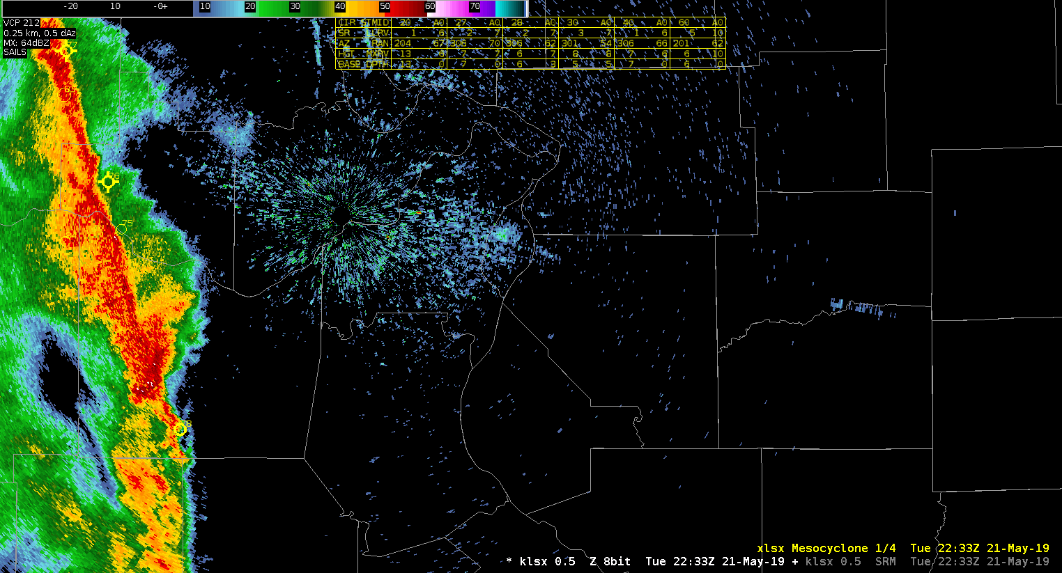
Below are 4 panel radar images from klsx at approximately 2235z (nearly 20 minutes before the NMDA first identified a mesocyclone), showing the 8.0 (top) 4.0 (middle) and 0.5 (bottom) elevation cuts. A very well defined bounded weak echo region is evident in the reflectivity images in the top left.


-64BoggsLites