Blog 11 June 5 HSV Area Prob Severe Evaluation

Screenshot-CAVE:HUN - D2D -1
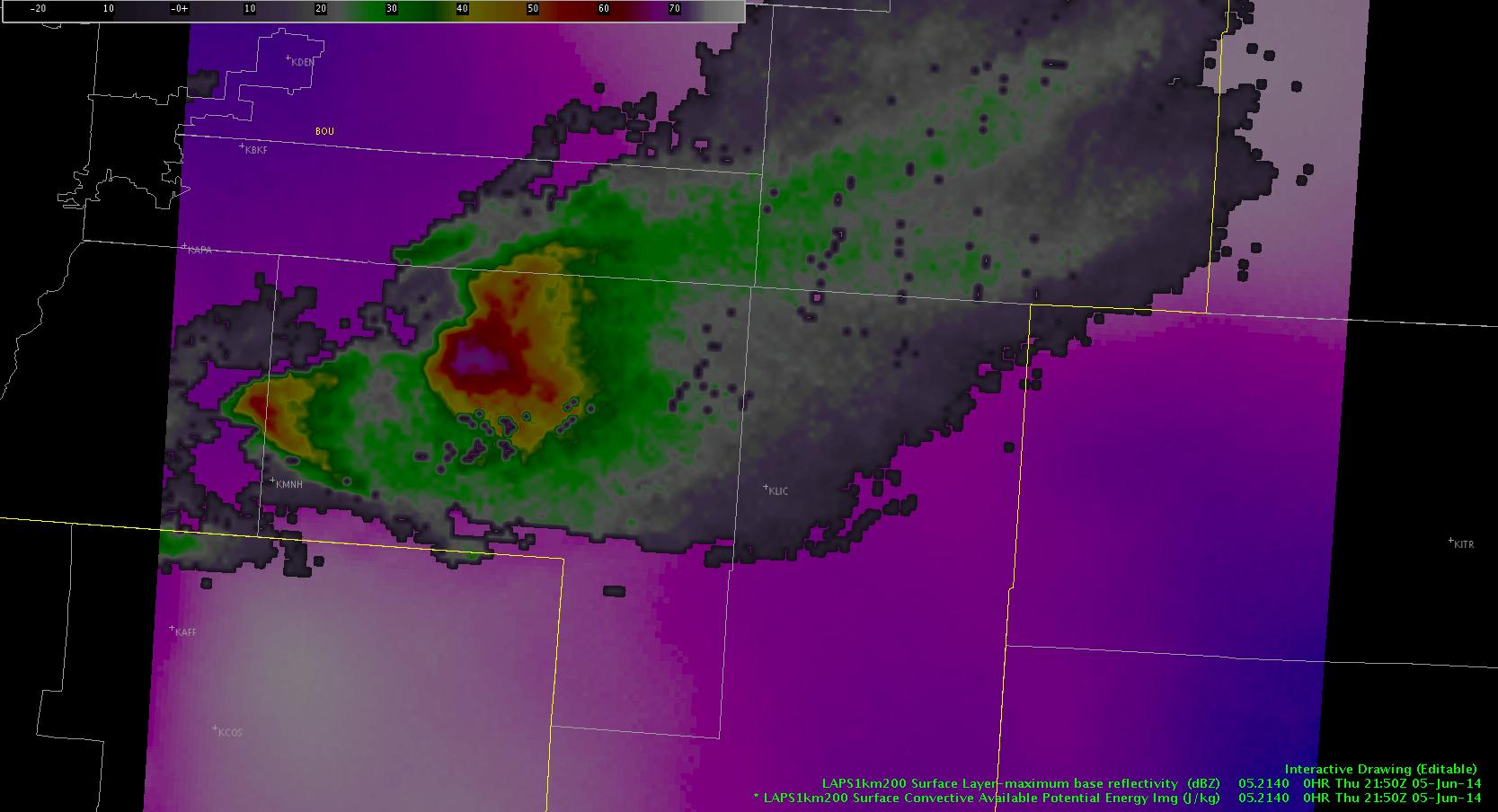
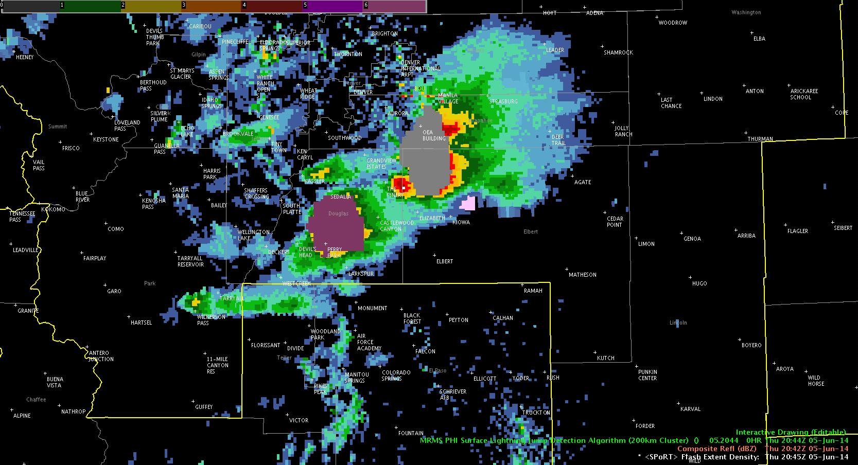
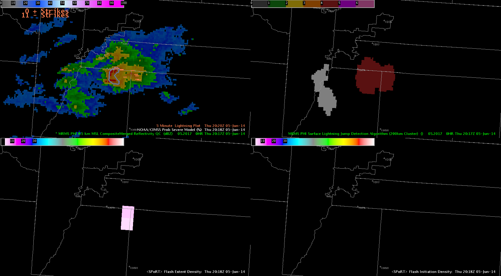
Interestingly, today the prob severe with the large MCS that produced lots of storm reports including wind gusts to over 50 knots, and enough lightning to start fires, was not that helpful. I have circled a bow echo moving into GA from AL and also a line near the HTX radar (This storm was quite severe with high winds extreme lightning). OT top detection and flash extent density and light jump all worked well and were valuable members of the severe warn decision tree.

Not the case for prob severe, which could lead the forecaster to hold off on a warning if they overvalued it. I have used prob severe all week and had growing confidence in it for storm trends etc., but this is a lesson learned to consider its limitations.


D Satterfield 2251Z 5 June 2014

Tags: None

CI GOES-W vs E again

CIwest2030 GoesEast_CI_2030zThis is another example of GOES E vs W seeing CI. In this case, GOES-W showed a fairly large area of 79% while goes east showed little if anything. These clouds did end up developing into echoes well over 35 dBz within 30 minutes after these images were taken.

jca

Tags: None

Blog 10 June 5 HSV Area

Looking at the severe storms over North AL with 1km vis and OT detect overlaid.

The cell which has produced a lot of severe storm reports on the TN AL border is detected Storm near Chattooga Cty. GA (which moved out of Jackson AL) also has OT detected.

I have circled some obvious misses that are visible on the 1km vis. Storm near Boaz in Marshall AL has produced minor damage and high wind gusts and is also missed.

D Satterfield 2240Z 5 June

OT Tops hit misses*

Tags: None

Prob Severe Tool Fail

Below are numerous images of the Prob Severe tool doing a poor job with severe winds in the Huntsville area and it had inaccurate location placement of the Prob Severe area as well. Perhaps the Prob Severe tool is best utilized for severe hail and possibly tornadoes, but it definitely did a poor job with winds.

060514_2226Z_probSevereFail 060514_2221Z_probSvrFail  060514_2211Z_probSvrNoBueno_metar 060514_2216Z_probSvrNoBueno 060514_2211Z_proSvrNoBueno 060514_2206Z_probSvrNoBueno 060514_2156Z_svrWindProbSvr7-KP

Tags: None

Blog 9 June 5 HSV Area

Image lost do to network issues-

Have spent time tracking a cell ahead of the MCS over NE Al. Mainly in Jackson Cty. Little storm damage reports from it in-spite of lightning jump, and only a so-so reflectivity presentation. At 2130Z we do now have an OT top detection on this cell and it looks rather  impressive on vis imagery.

Did a 64 frame tracking tool analysis on the cell moving through Limestone AL and into Madison. This cluster produced 59 mph winds at KHUN and reports of lightning induced fires in Decatur area. Many reports of damage, trees down, and some building damage from strong winds. While the radar presentation was not impressive the track tool shows overshooting top detection at 2140Z with 5 sigma lightning jump at 2202Z. Flash density peaks at 2145 then diminished but then steadily rises to 60 at 2204.

Prob severe not much above 25- See post by KP for more on this. Good example here of flash extent and OT and lightning jump being a clue that this storm was severe. Radar look alone would be of little initial value, esp with no storm reports (late night hours for instance)

DSatterfield

Tags: None

Example of cirrus obscuring CI

060514_highCloudsObscureCI_exampleThis loop provides an example of how the thin high cirrus clouds from the MCS to the northwest are obscuring the CI output for the cumulus clouds over Alabama. The edge of the cirrus shield is shown in the zig zagged line within the bubble.

-KP

Tags: None

Pseudo Lightning Data

Today was the first day I had a chance to examine the pseudo lightning data.  We were watching storms just to the south of Denver.  The first lightning jump we saw occurred at 2017Z and jumped 4SD.  Still learning exactly how to use this – but was expecting an increase in storm intensity afterwards (based on the training) and this did occur.  ProbSevere gradually trended up as well – and using a combination of ProbSevere and the lightning jump data – issued a SVR at 2050Z.  Did not really examine the base radar data until after this – and based on dual-pol radar data – there was definitely hail falling by 2055 or 2100.

LightningJump_BOU

Thus – I considered the lightning data valuable.  It is another tool assess future storm intensity – i.e. which storm do I need to pay attention to.


Fowle


Tags: None

Blog 7 Day 4 on 5 June

Still watching storm over Jackson AL 4 sigma lightning jump. Reflectivity not all that impressive. but flash extent density and light jump are really popping.

prob Severe 84% but env shear weak.

MESH is at 1 inch. Hoping to get some spotter reports.

D Satterfield

jackson 2100 sigman* Flash extent density jackson Z on jackson 2100 Jacskon Severe 2059


Tags: None