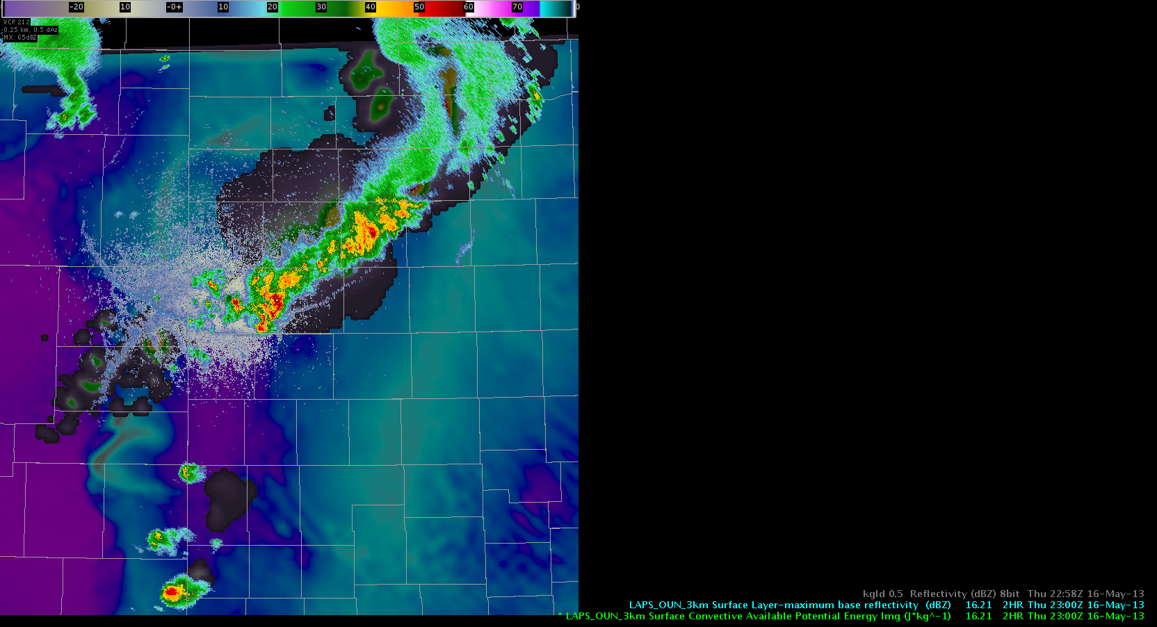
 A short overview about how the LAPS handled both the decaying cluster of storms but also isolated thunderstorm activity further to the south. Both models, OUN WRF (not shown) and 3 km LAPS tried to strengthen the northern part of that line despite real time radar data showing a constant weakening trend. In contrast, the southern part was captured very well, both in space, timing and strength of those cells. Until now, model’s QPF was lower than the real time radar showed, which likely resulted in a stronger outflow boundary to set up to the SW of the thunderstorms. LAPS had the outflow boundary more to the east and in a north-south fashion. In the near term, LAPS weakens the southern part of the line, which is in line with rapidly decreasing CAPE values further downstream….latest radar trend partially confirms that with some ongoing re-development along the SE fringe (where warm/moist inflow continues to feed the system).
LAPS captured isolated storms further to the south very well. As they moved off the mountains they entered a drier air mass to the east and weakened both in model data but also in reality. LAPS sends at least one healthy outflow boundary to the NW which collides with aforementioned extensive outflow boundary from the N/NE in the model’s world. Not sure if that’s real, as mountain storms looked ill and revealed stronger cores only for a short amount of time. Nevertheless, we continue to monitor both eastward progressing cells and northwestward motion of the outflow boundary. Helge
