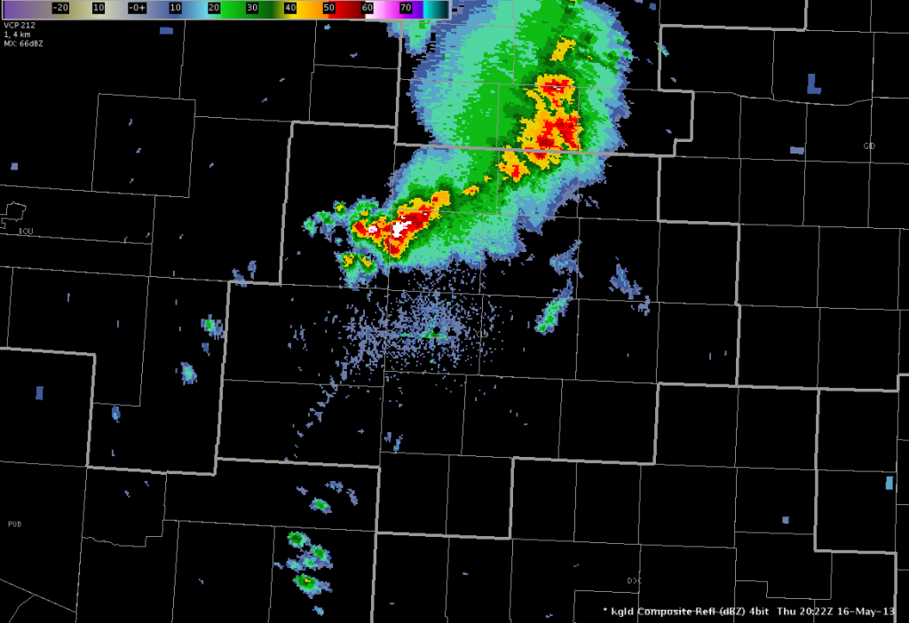
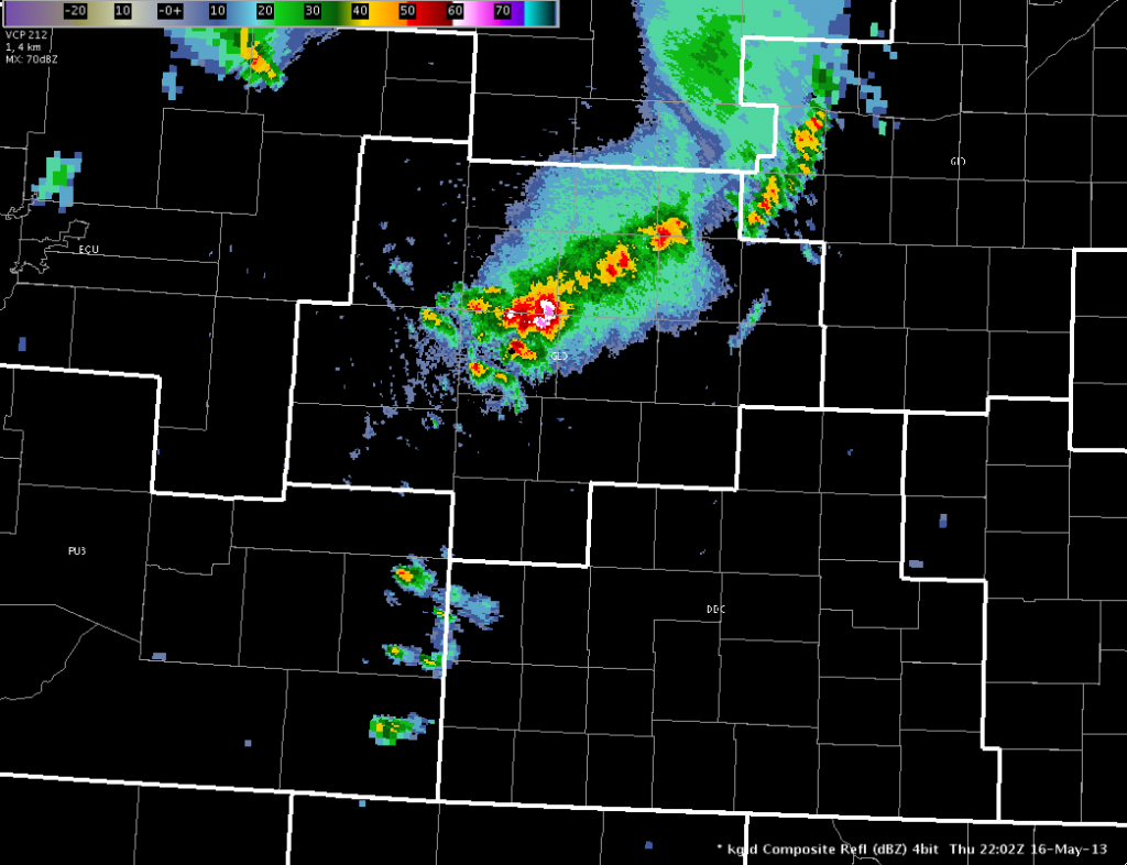
An MCS was already moving through south-central LBF and northwest GLD CWAs at 20Z. The OUN WRF was not showing convection to be as organized and linear as the actual convection was. The OUN WRF had maximum values of hourly column hail around 20 km/m2 and max sfc updraft helicity of 50 m^2/s^2 across southern NE and northern KS at 20Z, indicating marginal large hail/tornado potential. CIMSS 780MB-500 MB CAPE in this area was around 1000 J/kg and the vertical Theta-e Diff Low-Mid was around 11K.
 Top image is the 18 UTC run of the OUN WRF forecast for 2030 UTC. The bottom image is the actual GLD composite reflectivity for 2022 UTC..
 Top image is the 18Z OUN WRF four hour forecast of derived reflectivity and the bottom image is its four hour forecast of CAPE. The WRF was showing several storms across far western Kansas down to the Oklahoma panhandle. The 3 km LAPS 18z run was showing a narrow lane of higher sfc-based CAPE in this area. The 20 UTC run of the OUN WRF trended stronger with line of storms across southeast Colorado with a nearly solid line with bowing line segments perhaps bringing a severe wind threat to the DDC warning area.
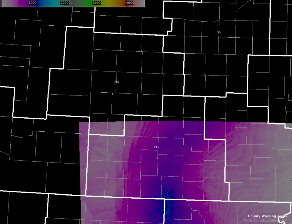
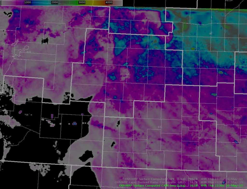
 The top image is the 18 UTC sfc based CAPE forecast for 22 UTC. The bottom is the observed sfc-based CAPE for 22 UTC. The bottom image is the surface-computed CAPE calculated by LAPS from observations. It shows an axis of higher CAPE through the central part of the DDC CWA. Unfortunately the domain does not cover the GLD CWA.
-Ostuno


