

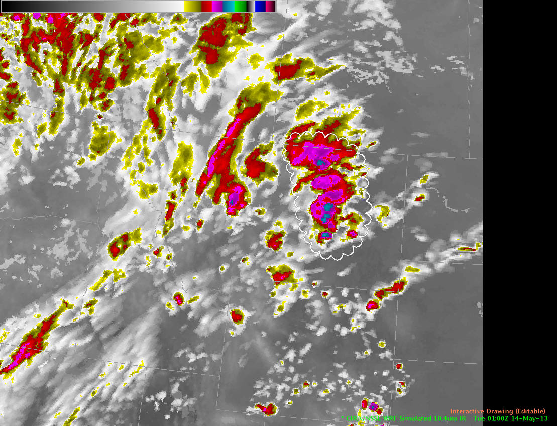
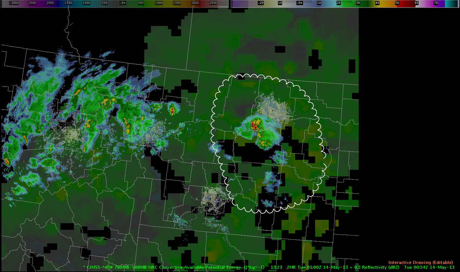
Best possibility for near-severe wind gusts and marginally severe hail appears to exist across the E half of Montana over next couple of hours. WRF simulated IR images and CIMSS 780-500mb difference products continue to point at this region having the best thermodynamic environment (approx 700-900 J/kg of CAPE) to maintain convective development during this time period. Regardless, severe threat still appears to be low-end.
Picca