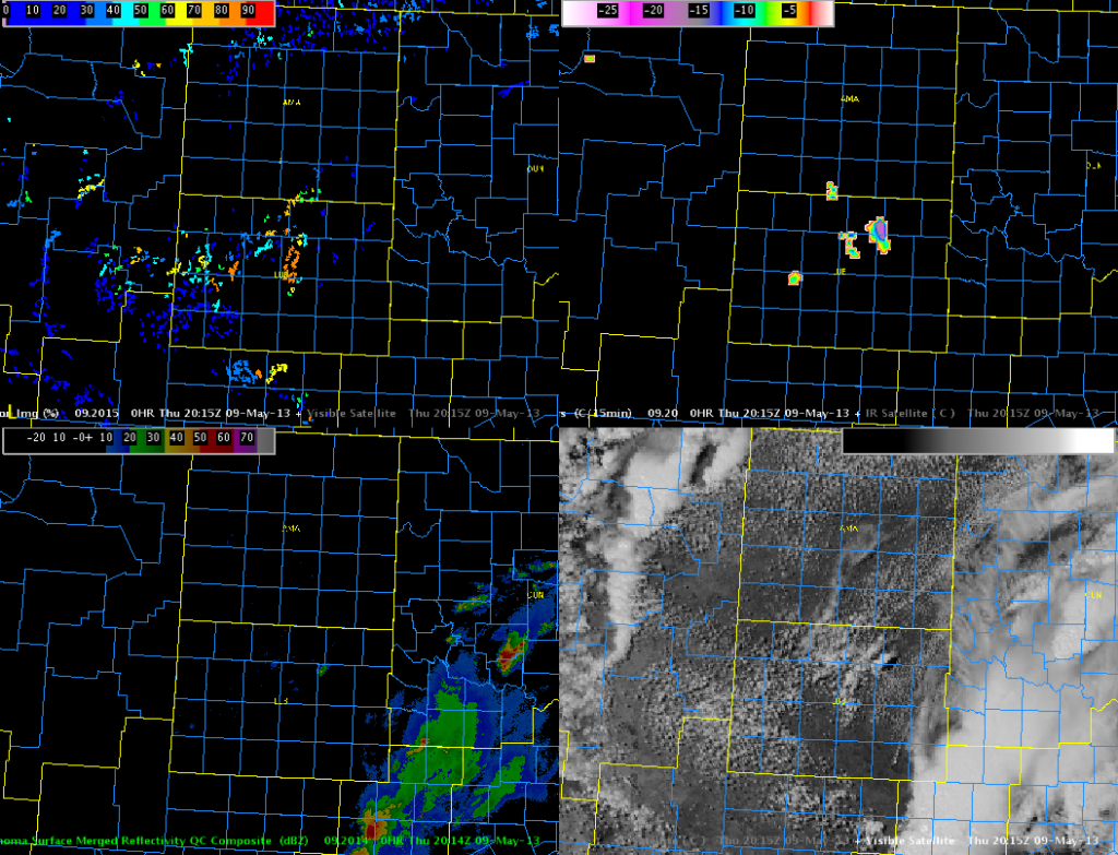
The image below shows several intense (less than -20 C per 15 min) signals over West Texas in Lubbock’s area. This is a bit of a surprise as most activity was expected to develop farther east. With somewhat limited moisture, we will monitor this area for possible high based severe thunderstorms. If these storms do develop and head east into better low level moisture, they may pose a severe risk across southwest Oklahoma or western north Texas later today.
**Updated at 2305 UTC**
As was advertised by the CTC product nearly two hours in advance, marginally severe high based storms developed over the Texas Panhandle in AMA’s area. This lead time was likely due to the relatively dry environment, which was not conducive to rapidly developing severe storms.
Austin/Frank
