
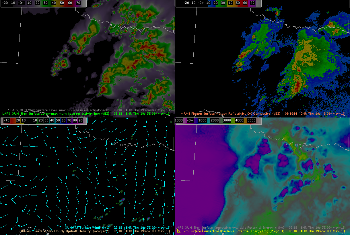
The 18z 3 km LAPS forecast of surface layer maximum base reflectivity has done a decent job predicting the location and track of new updrafts across central Texas, within SJT’s CWA. The below image contains the 1945z forecast of surface max reflectivity from the 3 km LAPS in relation to the 1944z MRMS merged reflectivity QC composite. Note the new individual cells developing across west central Texas on the MRMS Composite and the nearly similar forecast by the 3 km LAPS in both time and space. However, the LAPS forecasts do have their limitations, as the forecasts produced from the initial LAPS product are a function of the WRF. Note the LAPS forecast was not able to handle the timing of the linear complex moving across the FWD forecast area (eastern side of image). The LAPS forecast was a slower and favored individual cells within a line, rather than the complex line that developed and surged eastward.
With this event, the LAPS has been a valuable mesoanalyst tool this afternoon, especially within combination with the other short range guidance/mesoscale models.
Kurtz