
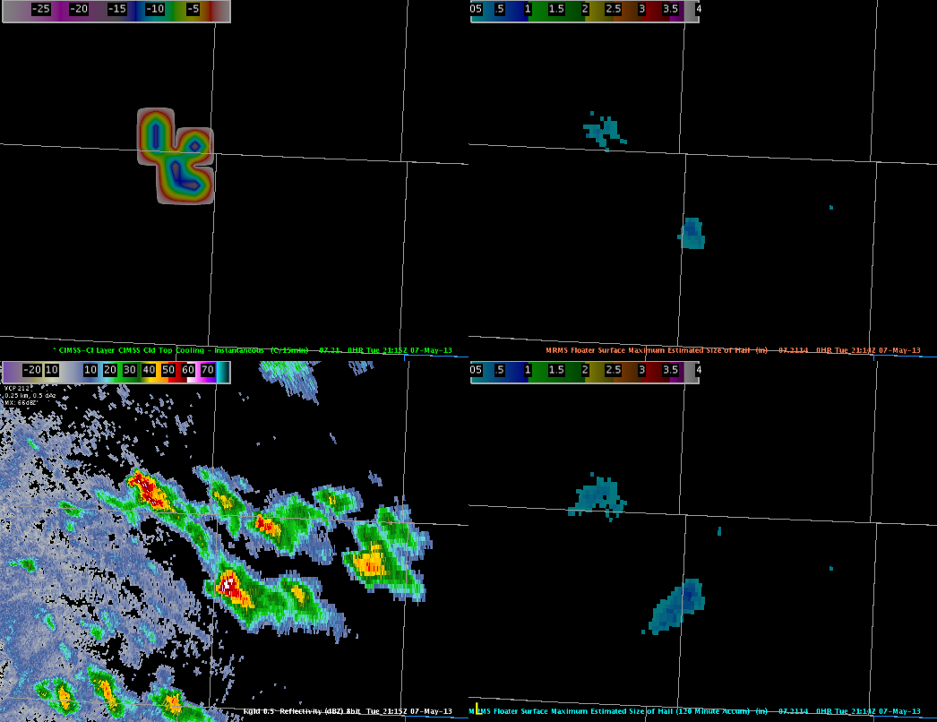
We continued to monitor Cloud Top Cooling (CTC) rates in combination with MESH from the MRMS to investigate a elevated storm in Sheridan County Kansas. CTC was able to provide 15 to 20 minutes of lead time before the MESH indicated .71 inch hail. Below is a four panel at 2115z of the CTC, instantaneous MESH, base reflectivity at KGLD, and 120 min MESH.
Continuing to monitor the storm, the HSDA has continued to indicate large (LH) to giant (GH) hail. With modest mid-level lapse rates (7.0-8.5 C/km) and decent mid-level shear, these storms continue to indicated mid and upper level rotation, indicative of large hail growth.
Guseman/Kurtz