
As was anticipated, isolated to scattered thunderstorms developed over northern and western portions of KS. This area will continue to be monitored for additional storm development, and intensification of ongoing convection as backed low level flow continues in this region. The image below shows composite reflectivity, MRMS mid level rotation tracks and MESH, reflectivity at -20 C and the HHC. This cluster of storms is gradually intensifying, and MESH has indicated the presence of severe hail.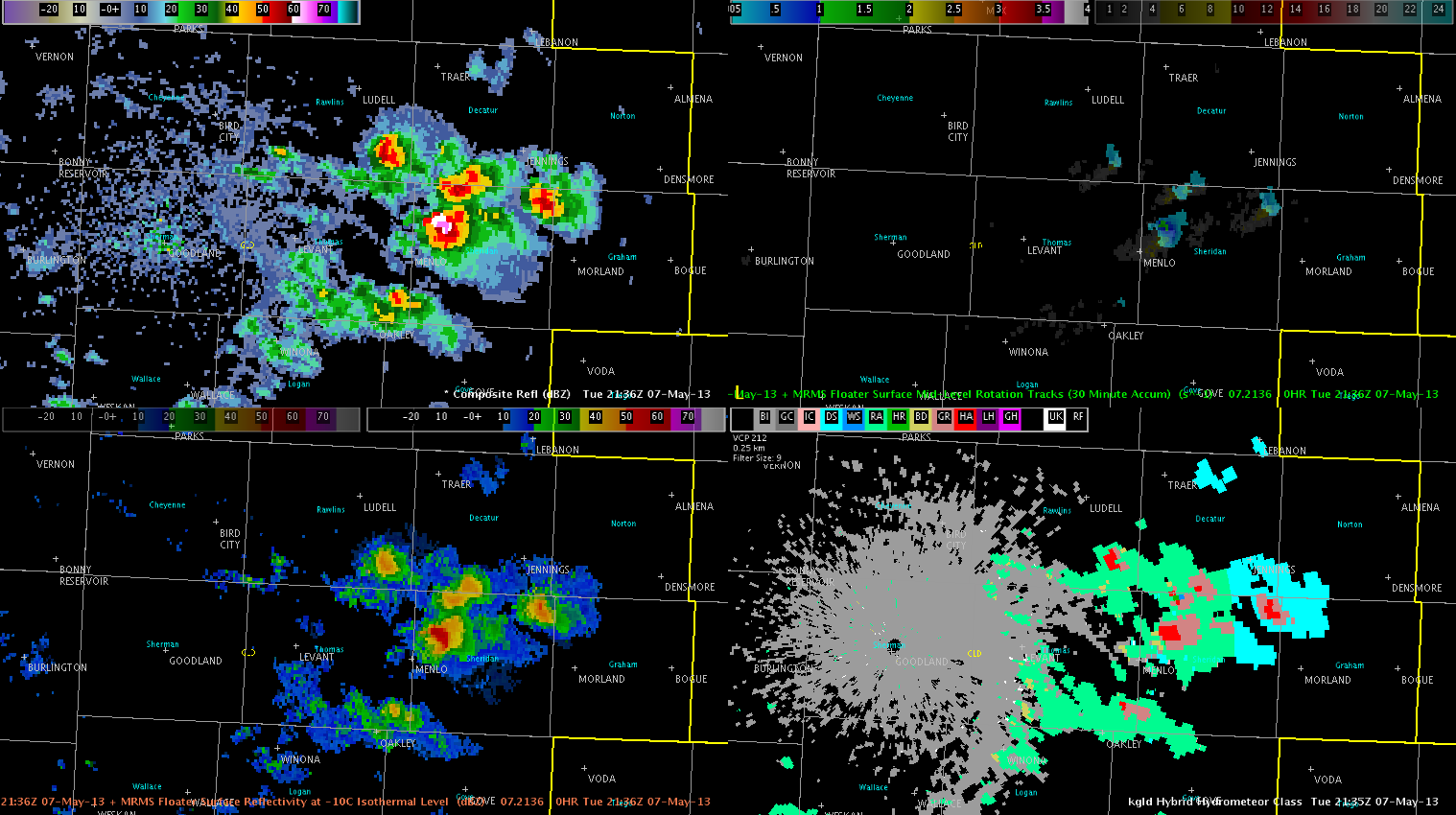
We are still monitoring CWAs further south, LUB in particular, for convective initiation in the next couple of hours. A large CU field has developed in the last hour and is showing some CI and CTC signals.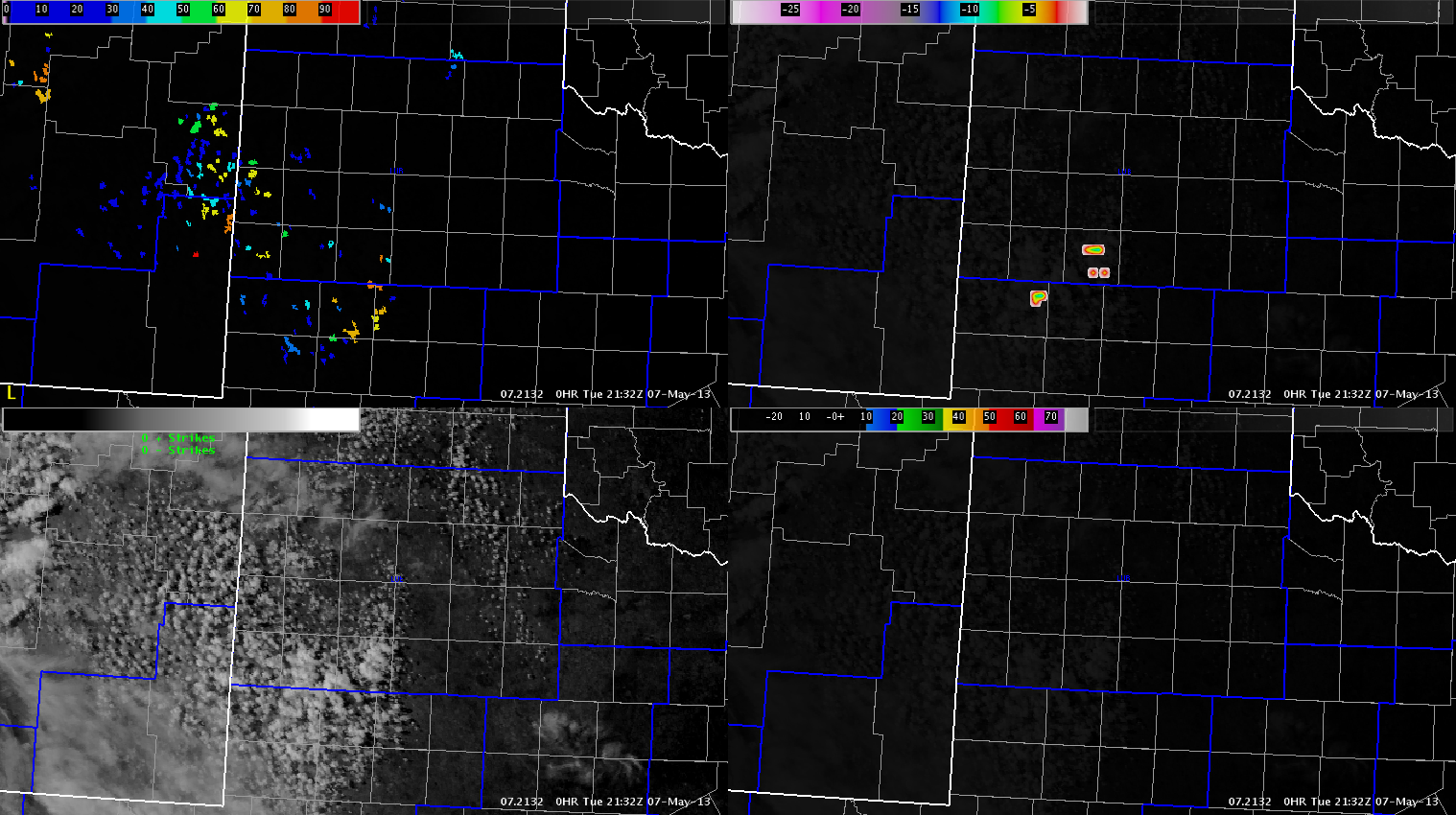
However, this activity has been slow to develop, and severe convection does not appear imminent.
Austin/Frank