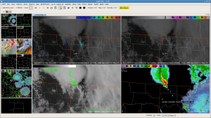
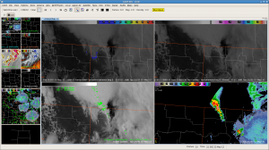
A severe thunderstorm developed over northeast MT and straddled the Canada/ND border. The cirrus had finally cleared south/southeast of the storm, so we were waiting for one or both of the GOES CI products to kick in. Sure enough by 22z, the UAH-CI product indicated about 50% strength of signal along developing cumulus to the south of the severe storm. By 2224z, KMBX radar indicated convection certainly did “zipper down” the cold front/dryline as the UAH-CI product indictated at 22z, giving us a 24 minute lead time for the developing convection.


