23:00 UTC briefing:
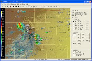
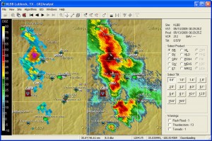
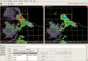
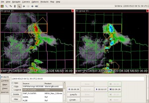
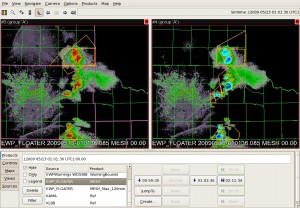
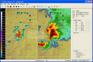
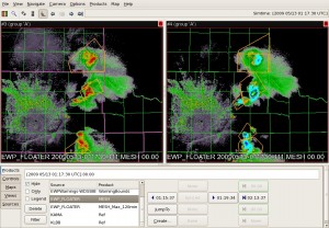
A shortwave trough has come out of southern NM and began to initiate convection as it became juxtaposed over the low-level dryline west of Lubbock, TX. Initial high-based convection has generated a small but forward propagating cold pool northwest of Lubbock while an enhanced HCR has initiated more discrete, outflow starved and high-based convection from Floydada to south of Silverton. See image below.
Note that the field here has not only numerous spotters with live video feeds but the VORTEX2 project has targeted this area.
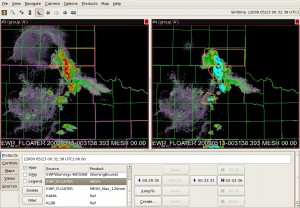
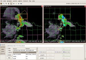
Forecasters will be using multi-sensor products including Z, Z>-20C level, gridded hail, Azimuthal shear, and more.
Forecasters are:
Chris Wielke, EC Edmonton,
Steve Hodanish, NWS PUB
John Billet, NWS AKQ
Kevin Brown, NWS OUN
2330z: Steve and Kevin will localize to AMA, John and Chris will take LBB’s CWA.
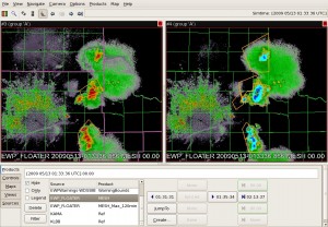
2350z: John and Chris are seeing MEHS values to 1.2″ for the storm near Turkey. It’s within the county where the backed winds and near 70 F dewpoints begin. But the storm is in a small multicell cluster with potential for outflow dominance. Storm shows only 3kft of 50dBZ above -20C. Meanwhile Kevin and Steve are limited by the RPS list of only lowest 2 tilts.
0002z: Both teams drafting respective SVR warnings. One for the forward propagating storm in Armstrong county based on report as they’ve had issues with products. MEHS was <1″ but there was an inch hail report. They’re looking at MEHS and height of 50dBZ > -20 level. The other one for the multicell event in Hall county. They based their warnings on the MEHS, all-tilts and height of 50dBZ>-20 C level.
0010z: Steve and Kevin issued a new warning for Donley and Collingsworth. MEHS and MEHS track for motion.
0011z: John and Chris issued a new warning for northern Hall and far NE Briscoe counties. New cell to the northwest based on the core peaking in the MEHS algorithm.
0024z: John and Chris are looking at a new left mover approaching the southern LBB CWA from MAF. No warning yet.
0029z: Both teams drafting warnings for the line bridging both CWAs from Donley to Hall counties.
0039z: Severe warning issued for Collingsworth county issued by Steve and Kevin for 70mph and tennisballs. MEHS and 50dBZ height above -20C.
0042z: Chris and John issuing SVR for Stonewall and SW Kent counties for that left mover coming out of MAFs. MARC signature aloft, MEHS, and weak rotation.
0045z: Chris and John impressed by the 50dBZ height 4kft > -20C.
0051z: Steve says the Donley county storm is going downhill based on looking at FSI X-sections.
0100z: Chris and John just issued a warning for Motley county minutes before a report came in.
0110z: Storm acquiring supercell characteristics in northern Cottle county. GRLEVELx MEHS shows 3.2″ while gridded MEHS shows 1.88″.
0017z: Chris and John issued a SVR
end of period discussion:
What to think of new products? Took some time to get used to products in order to start warnings. What value to use in shear? Nobody knows. Useful for pulse storms? Yes, it’s nice to isolate the bigger storms when there are many. What’s popped up at 50dBZ above -20C level?
Nobody looked at biased MEHS.
Technology-wise, it would be nice to have two screens. Could have NSE data on one screen. Also add the WDSS signature into the templates.
Jim LaDue (EWP Weekly Coordinator, 11 – 15 May 2009)

