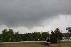
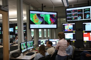
KTLX and TDWR shows a TVS 1.5 mi south of the NWC. It’s too far for the CASA though the Chickasha radar showed other shear features along the same gust front to the west.
We have a visual of a V-shaped loose funnel just south of the NWC – picture to follow. Rapid rising motion and some circulation may mean a weak tornado may have occurred just to the south.
PAR snagged spectacular circulation deforming the reflectivity field over OKC.
Jim LaDue (EWP Weekly Coordinator, 5-9 May)


