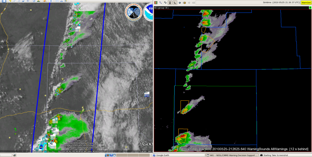
Both teams are operating in the Huntsville, AL CWA this evening due to the availability of lightning data in the region. Main concern is damaging wind associated with line of storms in the area. One team is issuing warnings while the other is focusing on an in-depth examination of the storms along the line and the multiple data sources available. A couple of the forecasters are watching for the development of QLCS features along the line moving through the Lynchburg area (at the current time circulations remain too weak to warrant a special warning beyond the severe for straight line winds). Highest density of lightning is with the lone warned storm.
Discussion of high-resolution data in time and space: Feeling is that for density graphics updates of less than 1 min would not be useful as data rate too fast to make use of with the multitude of other products. However, in trends associated with the storms updates as often as 20 sec may not pose a problem as could examine quickly on a single plot.
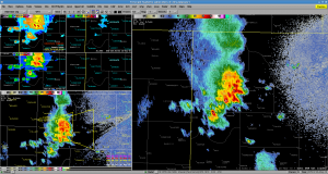
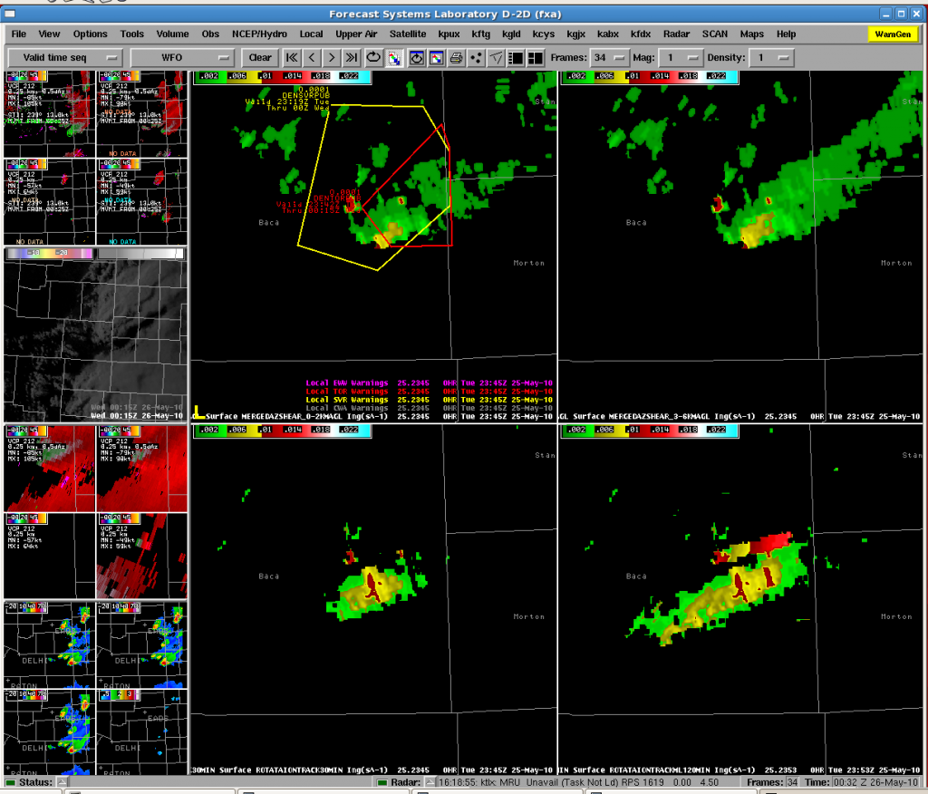
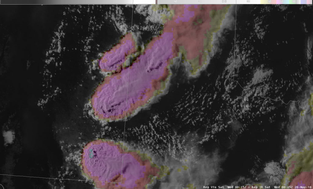
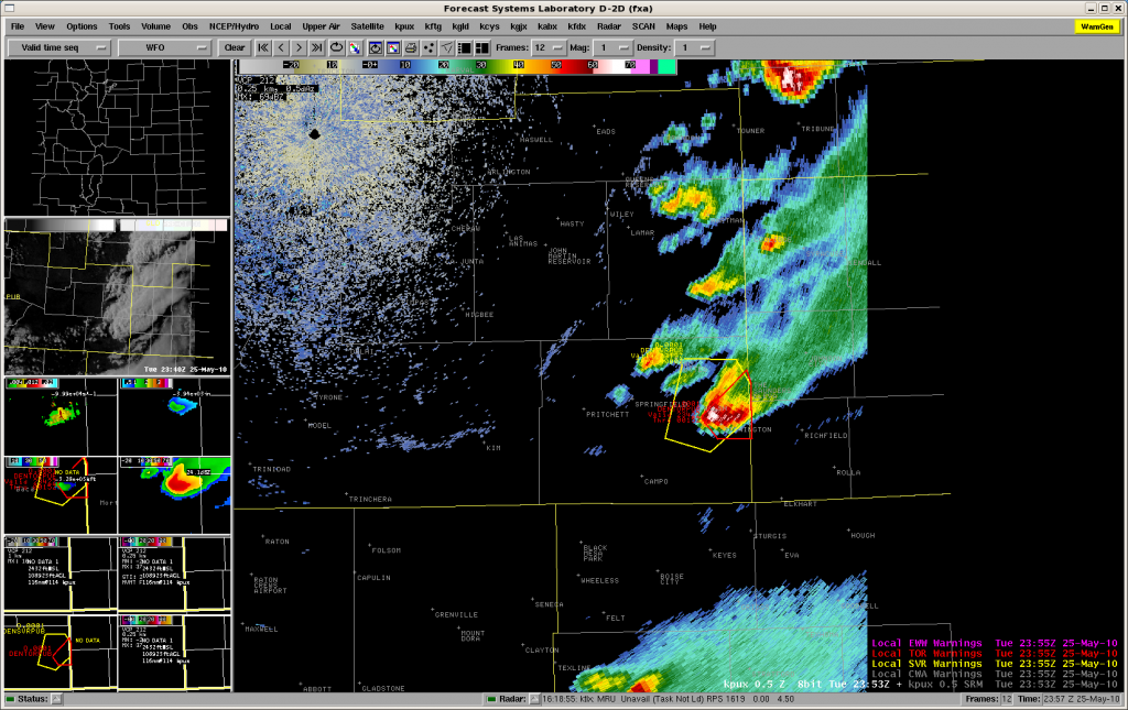
Forecasters are finding many of the test products useful through the week including the multi-radar plots of reflectivity at 0, -10, and -20 C, AzShear, and MESH. Lightning data overlaid with reflectivity (see image below) is giving perspective on extent of lightning into the ‘stratiform’ region and what areas may be electrified for aviation and public safety applications.

*Minor problem with data latency in AWIPS with lightning data. Seem to be receiving 1 min product in 3 min chunks (3 previous plots show up at the same time). MRMS products also running with a 3-5 min latency tonight (this has not been true during earlier IOPs). Will check for these issues again after install of new network card.
Kristin Kuhlman (GOES-R/PGLM Principle Scientist)


