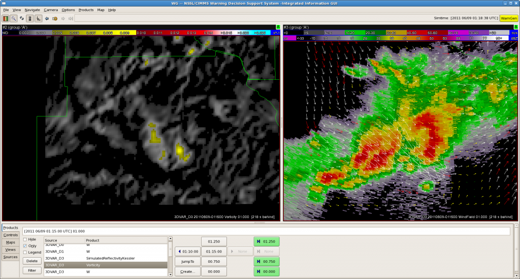
We started early today, as severe convection is ongoing in New England and Eastern New York State. However, our systems decided to finish the experiment a day early. We are in the process of relocalizing AWIPS and restarting radars and the ingest, as well as fixing some 3DVAR issues right now. One team is working the Boston CWA, and the other started out as Albany, but have now moved to New York City CWA. More soon….
Category: Live Blogs
Real-time posts made during testbed nowcast and warning operations.
Update: 2011-06-09 0120 UTC
Update: 2011-06-09 0040 UTC
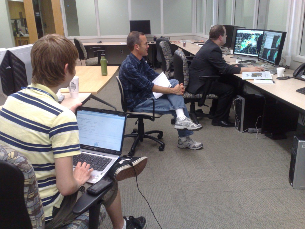
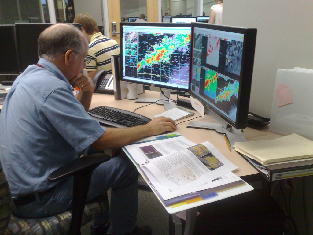
Our participants hard at work issuing warnings, using 3DVAR and MRMS experimental data:
Fig 1. Chris B. issuing warnings as MKE (Milwaukee) while 3DVAR scientist David Dowell, and student intern Alex, observe.
Fig. 2. Chris S. issuing warnings as DVN (Davenport IA).
Greg Stumpf, EWP2011 Week4 Coordinator
Update: 2011-06-09 0005 UTC
Weak rotational couplets are now being observed on the storms in MKE’s area in SW Wisconsin. Interstngly, they are better observed from KDVN radar, but in a typical WFO setup, Milwaukee couldn’t look at KDVN level II data, unless they used an alternate source (like GR2AE). But in the HWT, our MKE forecaster can just walk over to the DVN forecaster and look at their level II data. Here is the storm relative velocity data in question:
Fig 1. KDVN Velocity data.
Fig 2. KMKX velocity data.
Greg Stumpf, EWP2011 Week4 Coordinator
Update: 2011-06-08 2255 UTC
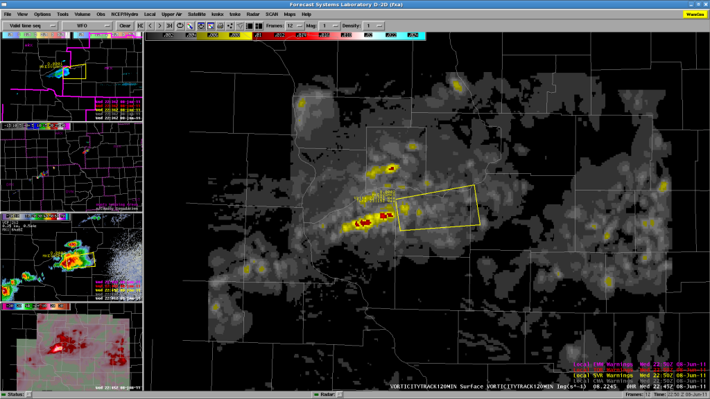
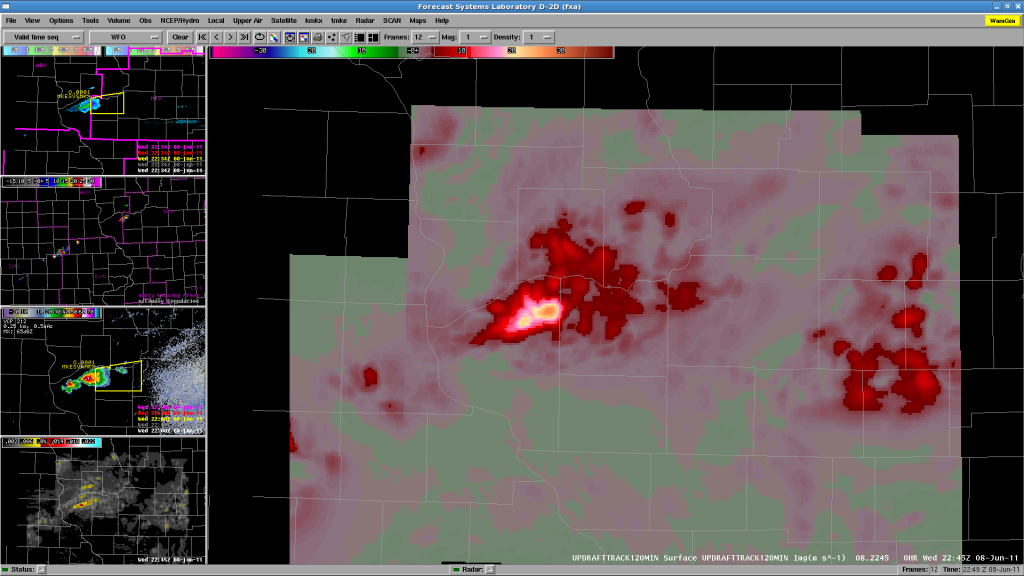
Bill and Justin are finishing up their shifts and filling out the surveys. Meanwhile, We have Chris B working MKX and Chris S working DVN, both have now started issuing SVR warnings. The 3DVAR domain is currently over the storms in SW Wisconsin. A few images:
Fig 1. 120-minute vorticity track from 3DVAR.
Fig 2. 120-minute updraft strength track from 3DVAR.
Operations continue as the storms develop along the WSW-ENE oriented cold front.
Greg Stumpf, EWP2011 Week4 Coordinator
Update: 2011-06-08 2211 UTC
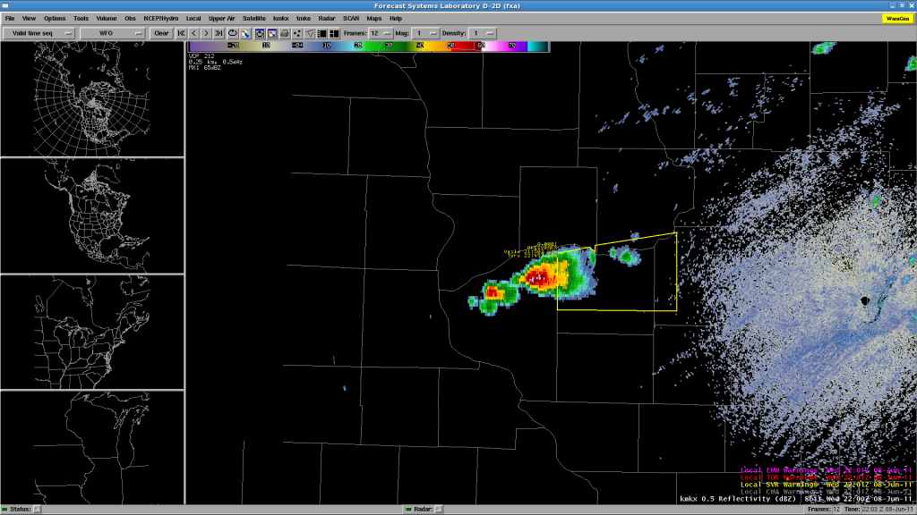
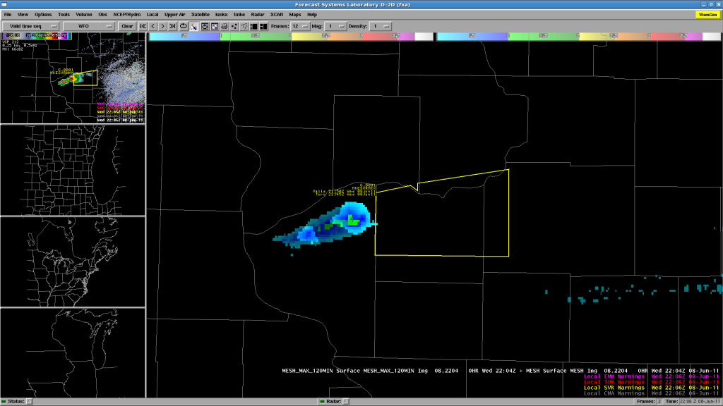
We have two CWAs operating now: MKX (Milwaukee/Sullivan WI) and DVN (Davenport/Quad Cities IA/IL). After a few hours of monitoring CI, we finally have our first severe storm in SE Wisconsin, getting ready to move into MKX CWA, so they issued a SVR warning on that cell.
Fig 1. KMKX reflectivity and SVR warning.
Fig 2. MESH, 2-hour MESH Swath, and SVR warning.
We were also monitoring the TX-OK-KS area for CI in the conditional risk area, but since storms are now firing in our current CWAs, we have abandoned that idea. OUN WRF evaluation may have to wait until Thursday. Note too that the OK-LMA is down (owing to the 24 May tornadoes), and thus we cannot evaluated PGLM data for Oklahoma.
Greg Stumpf, EWP2011 Week4 Coordinator
Update – 2011-06-08 0105 UTC
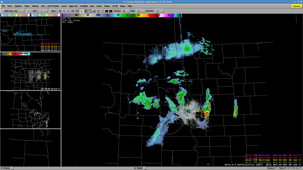
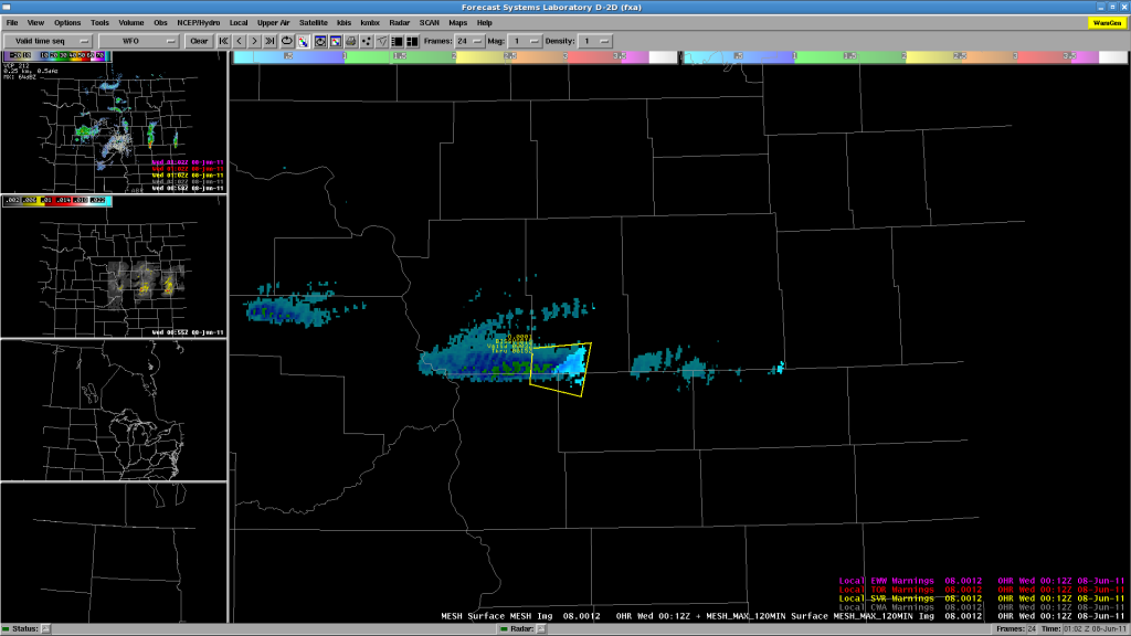
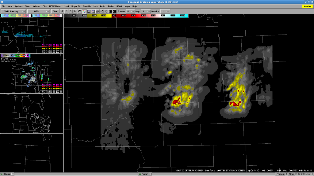
Bill and Justin worked three isolated storms in the BIS area, issuing a SVR warning on one of them. The basis for the SVR ground relative velocities, mainly a wind threat, perhaps 60-65 mph and 1″ hail. The actual WFO issued a Tornado Warning on the storm, but the EWP team felt that the circulation was too shallow to warrant a TOR. Our 3DVAR data feed was out until about 0040 UTC, and wasn’t used much for the warning. By then, the storms were below severe limits. While watching the 3DVAR on Jidong’s website prior to restoring the AWIPS feed, there was decent vorticity at 3km, perhaps at the time of the official NWS TOR warning. Here are some images:
Fig. 1. KBIS reflectivity and EWP SVR warning.
Fig 2. MESH and 120-min MESH Swath, and EWP SVR warning.
Fig 3. 30-min 3DVAR Vorticity Track.
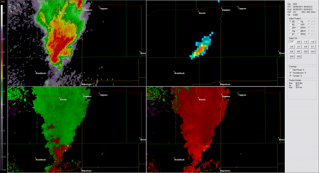
Here’s an image at 0004 UTC at the time of the NWS TOR issuance. I’ve placed a marker where the supposed strong rotation couplet is observed. Note on the reflectivity image that this position is well out ahead of the “hook” in the clear air ahead of the storm core. Looks like side lobe contamination rather than a vortex couplet. There is no continuity upstairs either.
Fig 4. KBIS images from 0004 UTC 8 June 2011 from GR2AE.
We’ve wrapped up fpr the night, and the forecasters are filling out their surveys.
Greg Stumpf, EWP2011 Week4 Coordinator
Update – 2011-06-07 2305 UTC
Enough waiting! We’ve decided to slide the MRMS and 3DVAR domains to the west to pick up the ongoing convection in BIS CWA. Re-locaizing the machines now. Will add BIS localization and either split Bill and Justin to BIS and FGF or put them both on BIS for now. They are taking a dinner break while AWIPS does its thing.
Update – 2011-06-07 2215 UTC
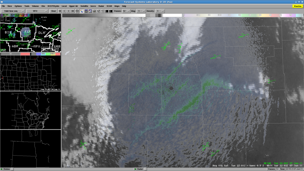
Well, we’ve been waiting, and there has been no CI in either DLH or FGF CWAs. There has been a hint of some towers on the bulging dryline near FGF, just east of the Red River in Minnesota:
but so far, most of the thunderstorms are remaining west in BIS’s CWA. Chris and Chris are ending their real-time shift and beginning their surveys. Meanwhile, Justin is being moved from the DLH WFO to join Bill on the FGF CWA, hoping for CI there, or even the storms in BIS area to move into the west edge of the CWA.
Greg Stumpf, EWP2011 Week 4 Coordinator
Update – 2011-06-07 2040 UTC
We are currently working two CWAs: Duluth MN and Grand Forks ND, in anticipation of convective initiation in our risk area. Nothing so far! The forecasters are monitoring the various CI products and the nearcast product, and we are in “wait mode”.
Greg Stumpf, EWP2011 Week 4 Coordinator


