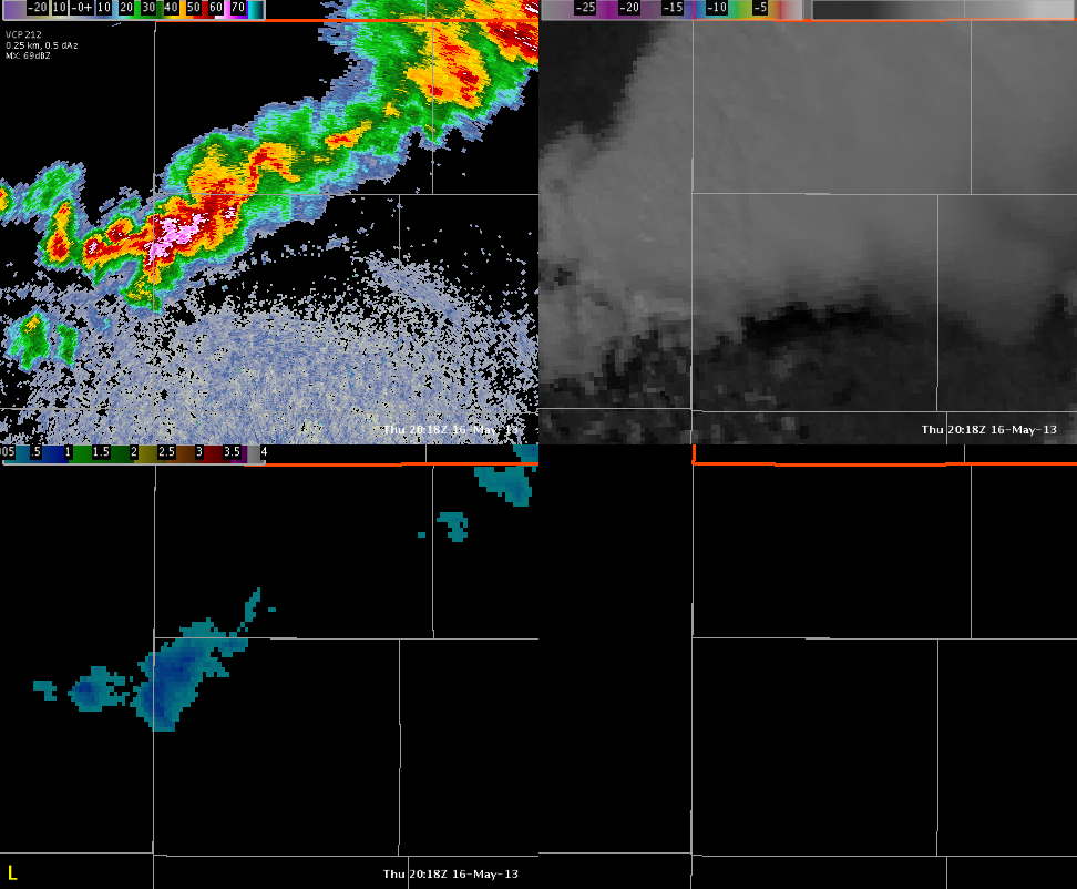
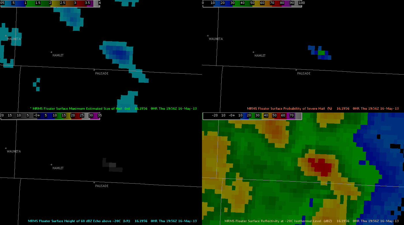
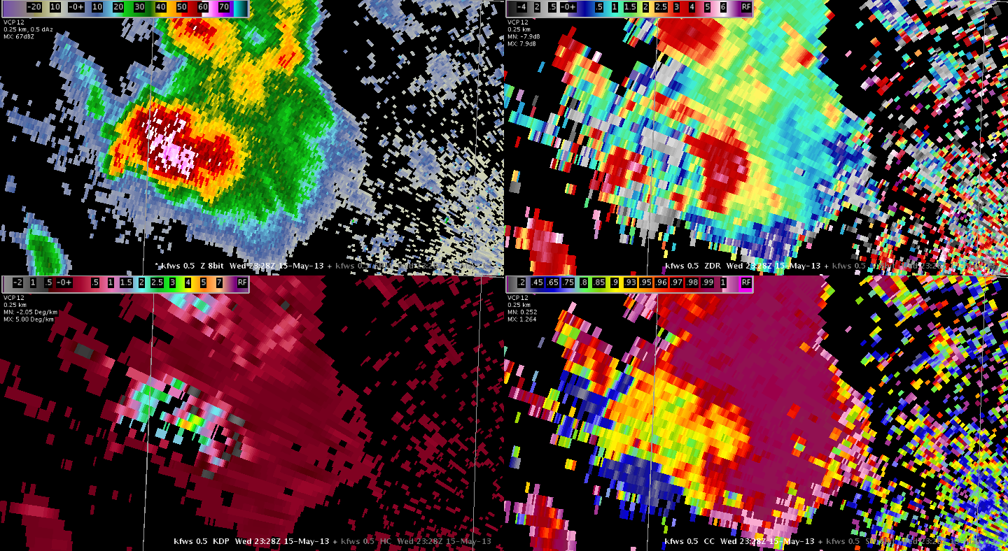
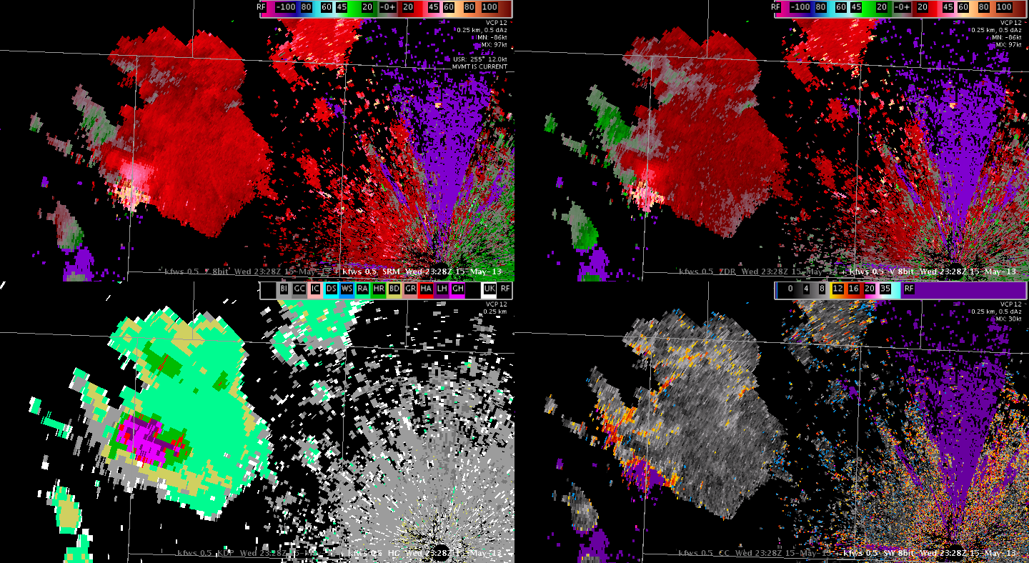
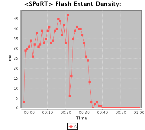
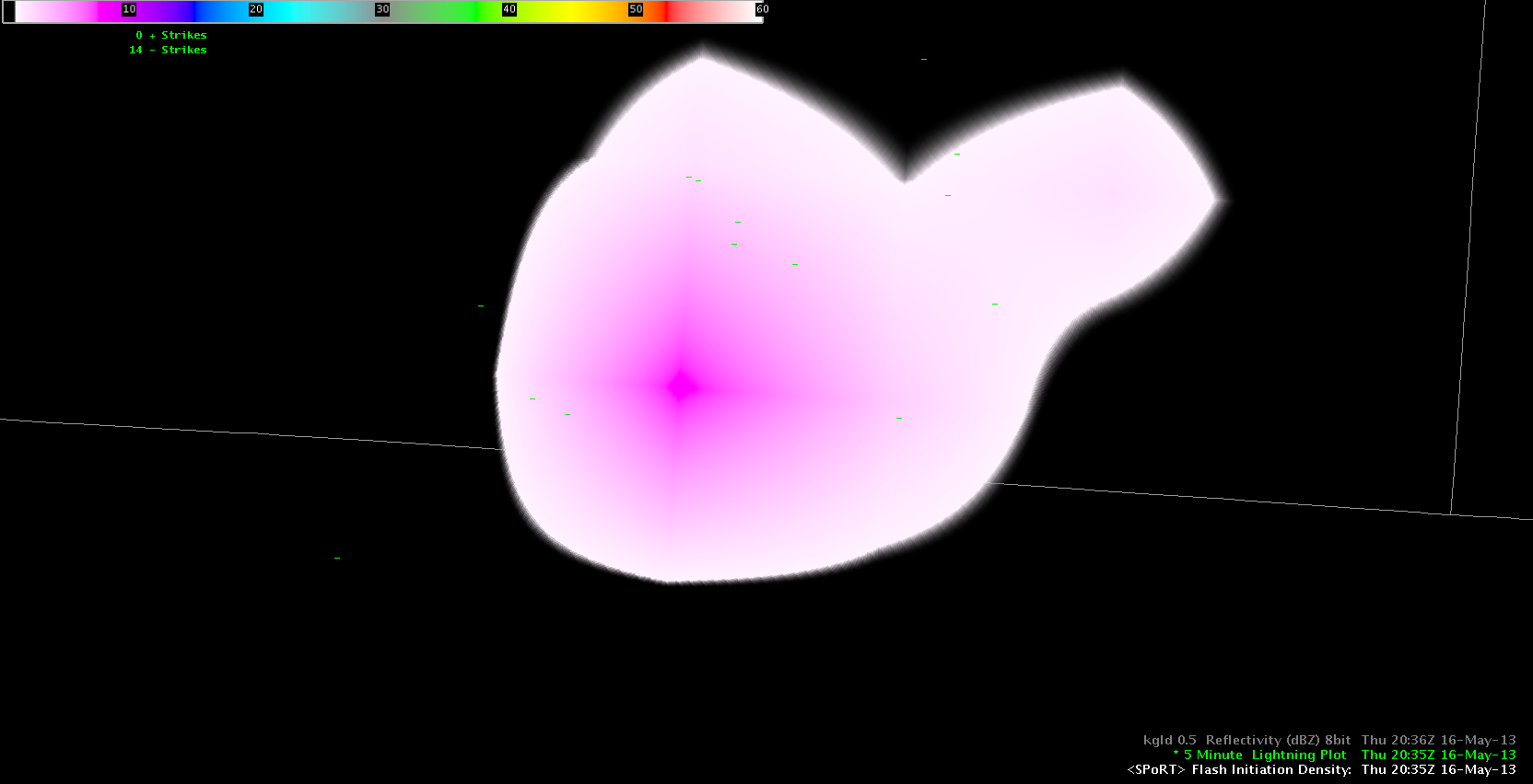
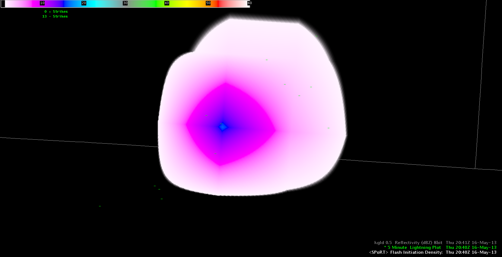
Playing a bit with the SPoRT flash initiation density product and the evolution of an updraft. Although it’s not a serious storm, it represents the ongoing pulsating activity very well which could eventually gain strength when entering a more unstable air mass to the east. Below you can find the ‘Flash initiation density product’ at 2035Z and 2040Z, showing a marginal increase in lightning activity. Reflectivity at the same time showed a core with 35-40 dBz and only a few isolated lightning strikes occurred.
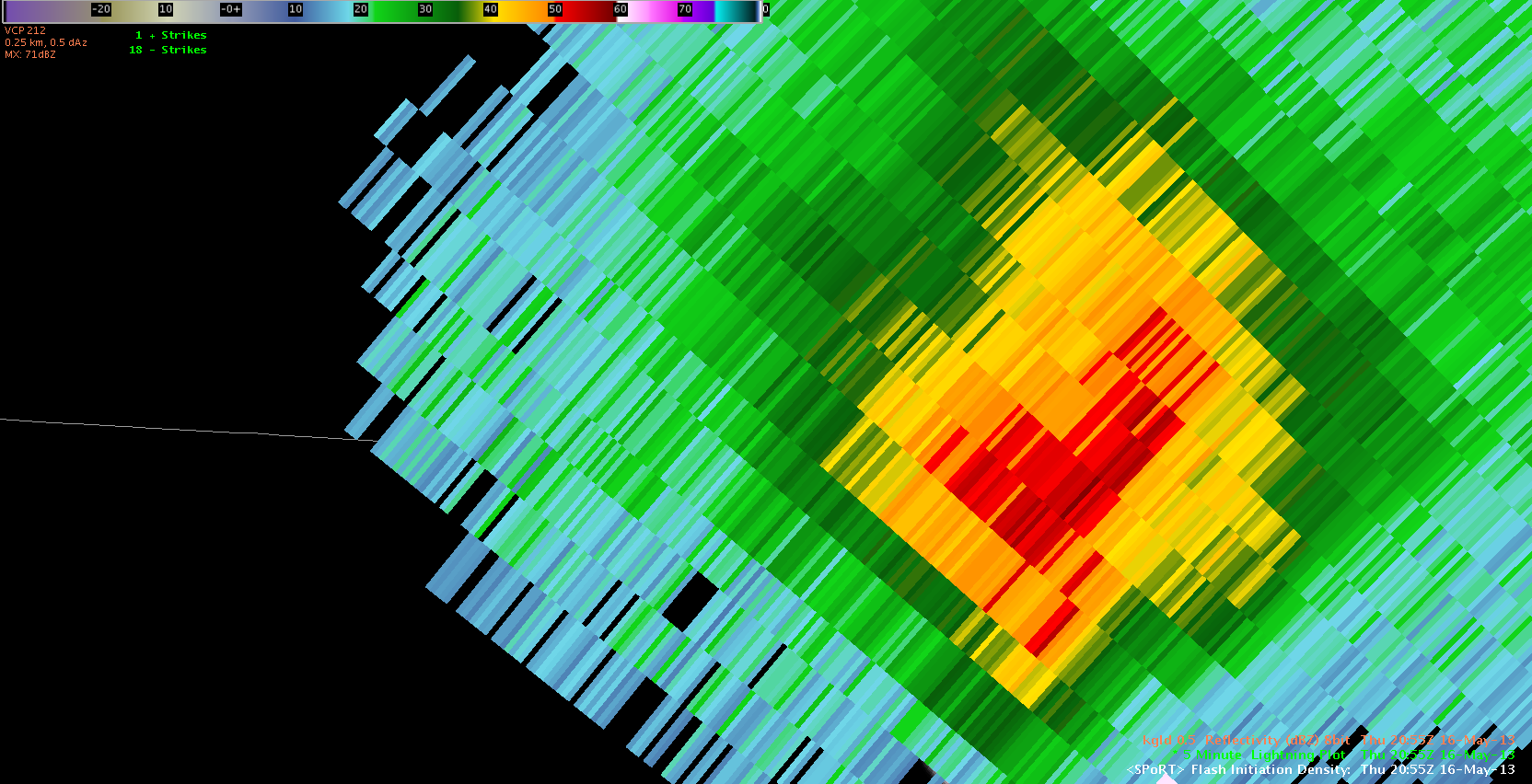 At 2055Z, the storm finally strengthened in reflectivity fields (the core peaked at near 60 dBz) . Although that was just a temporal strengthening trend of that storm it is great to see the lead time you get with that lightning product before the updraft eventually strengthens. Helge
 LAPS
LAPS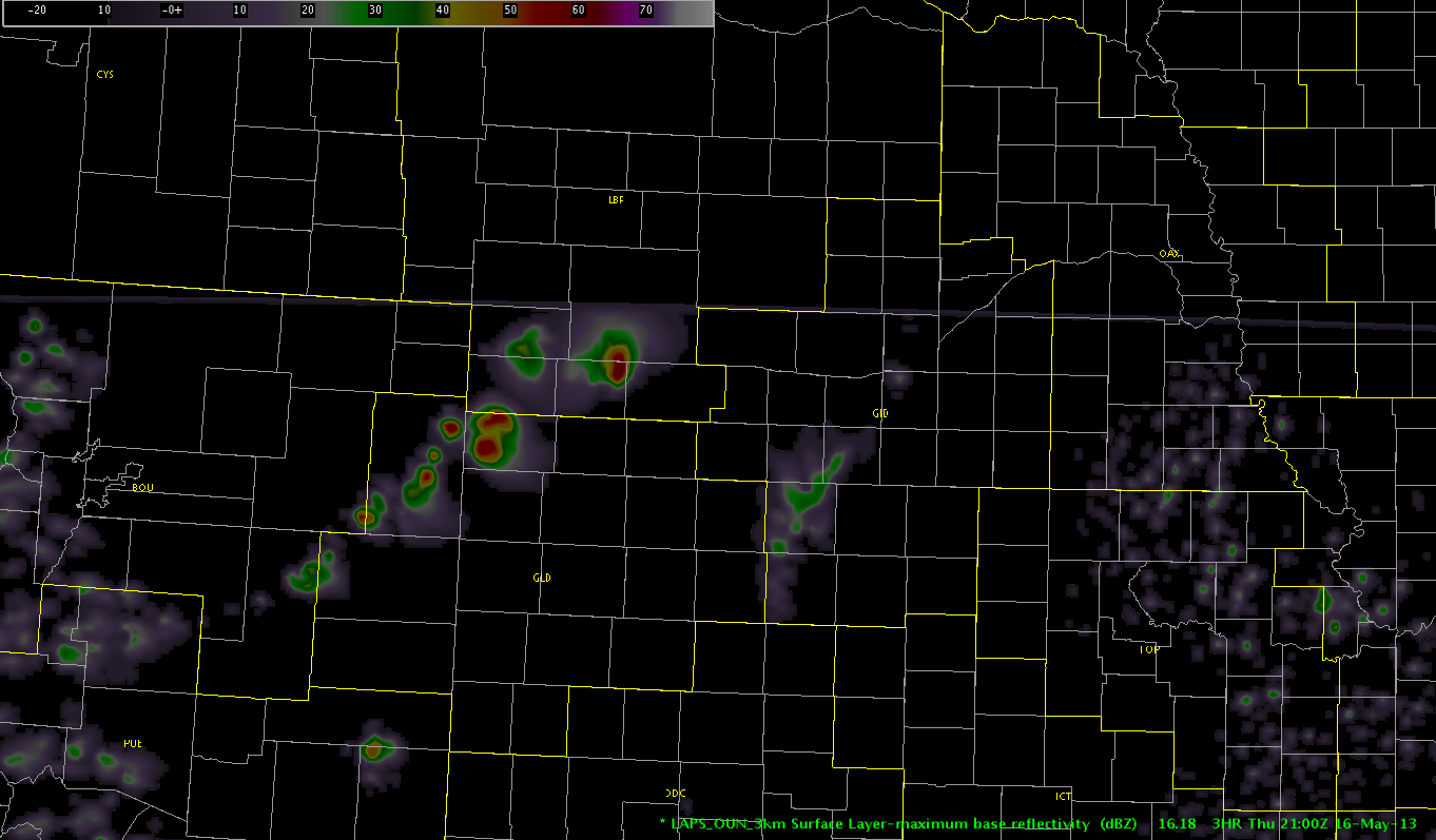 Picca
Picca