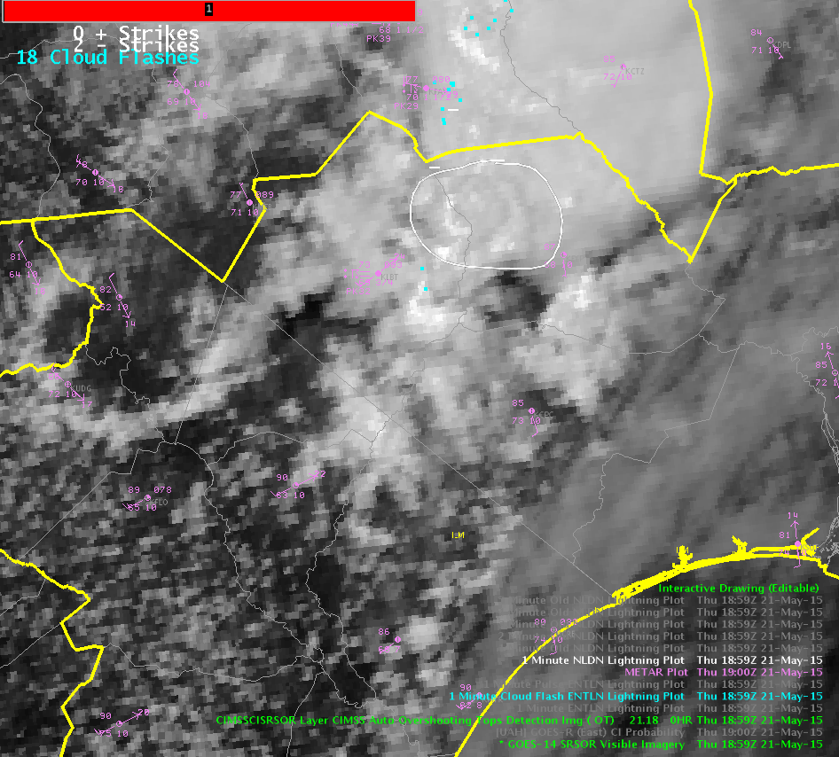
As a line of strong to severe storms approached from the west, anvil cirrus continued to spread east over the forecast area. Once storms moved into the forecast area, much of the ProbSevere model analysis included N/A for glaciation and growth rate under the cirrus umbrella. ProbSevere was driven mainly by MESH, offering little lead time over the radar data use alone. The LJDA showed no sigma change or signal. Upon further inspection, the storm produced very little raw ENI lightning.
Real world: WFO Wakefield issued a tornado warning on this storm. No reports of weather with this storm as of 2022Z.
Rocky.
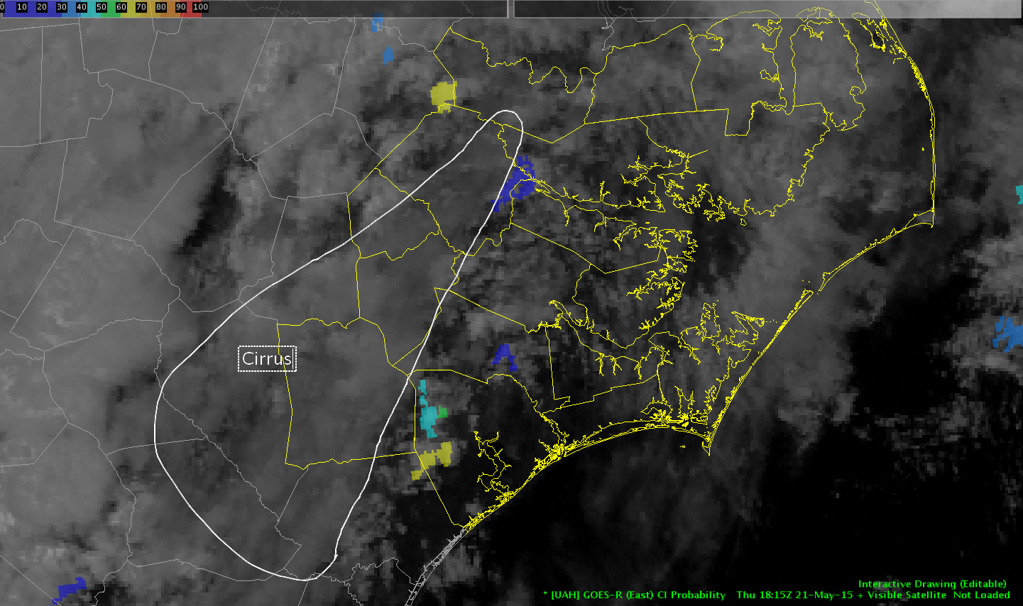
Cirrus tophat:

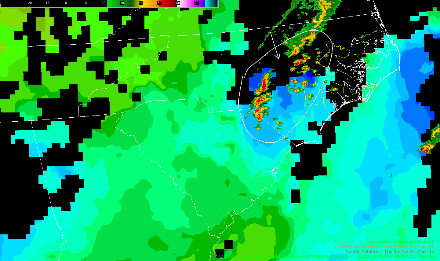
Prob Severe sampling showing N/A
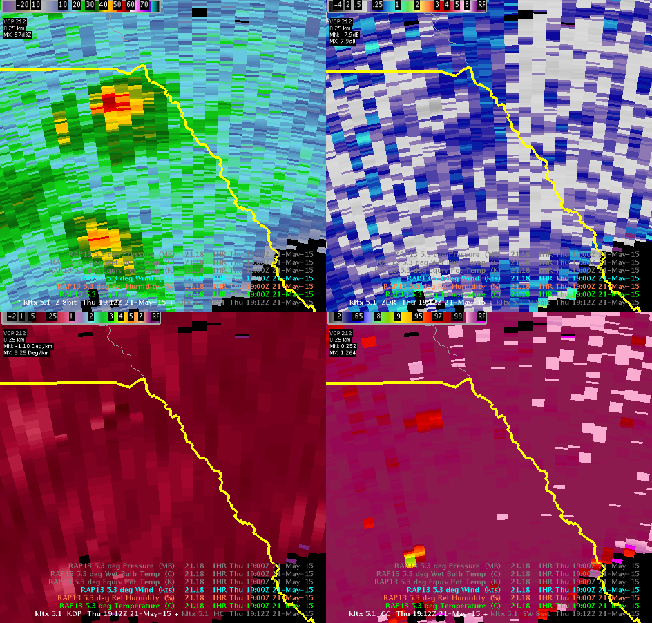
Reflectivity by 1927Z with ENI Cell lightning data: