CIMSS Prob Severe confirming our radar interrogation

probsev_bos

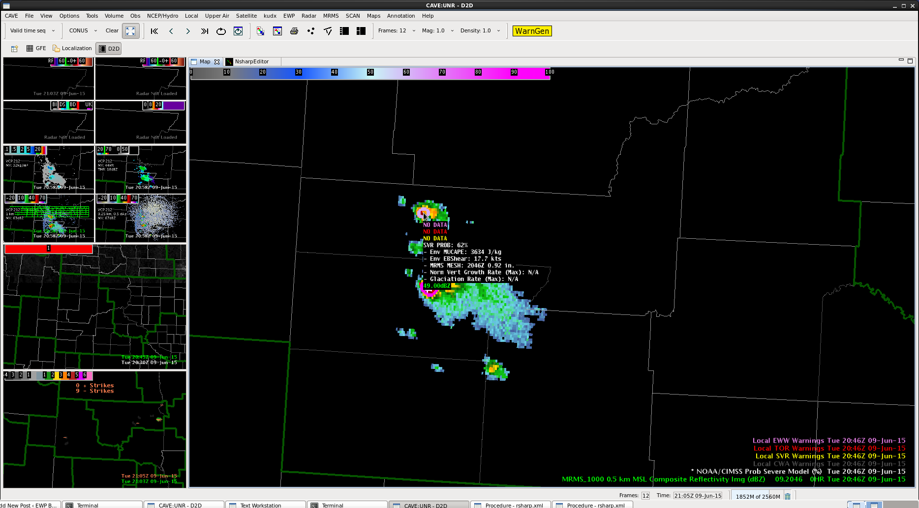
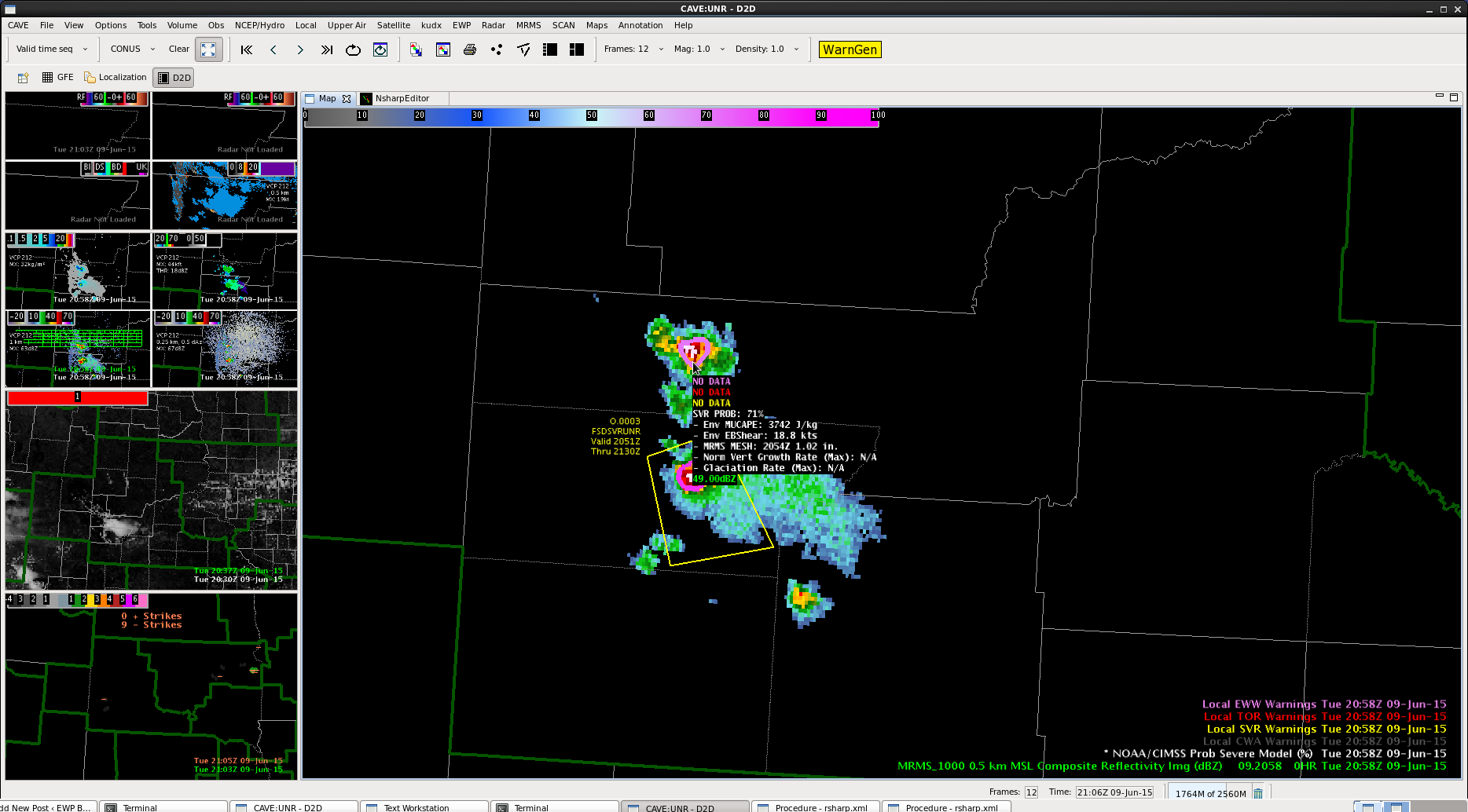
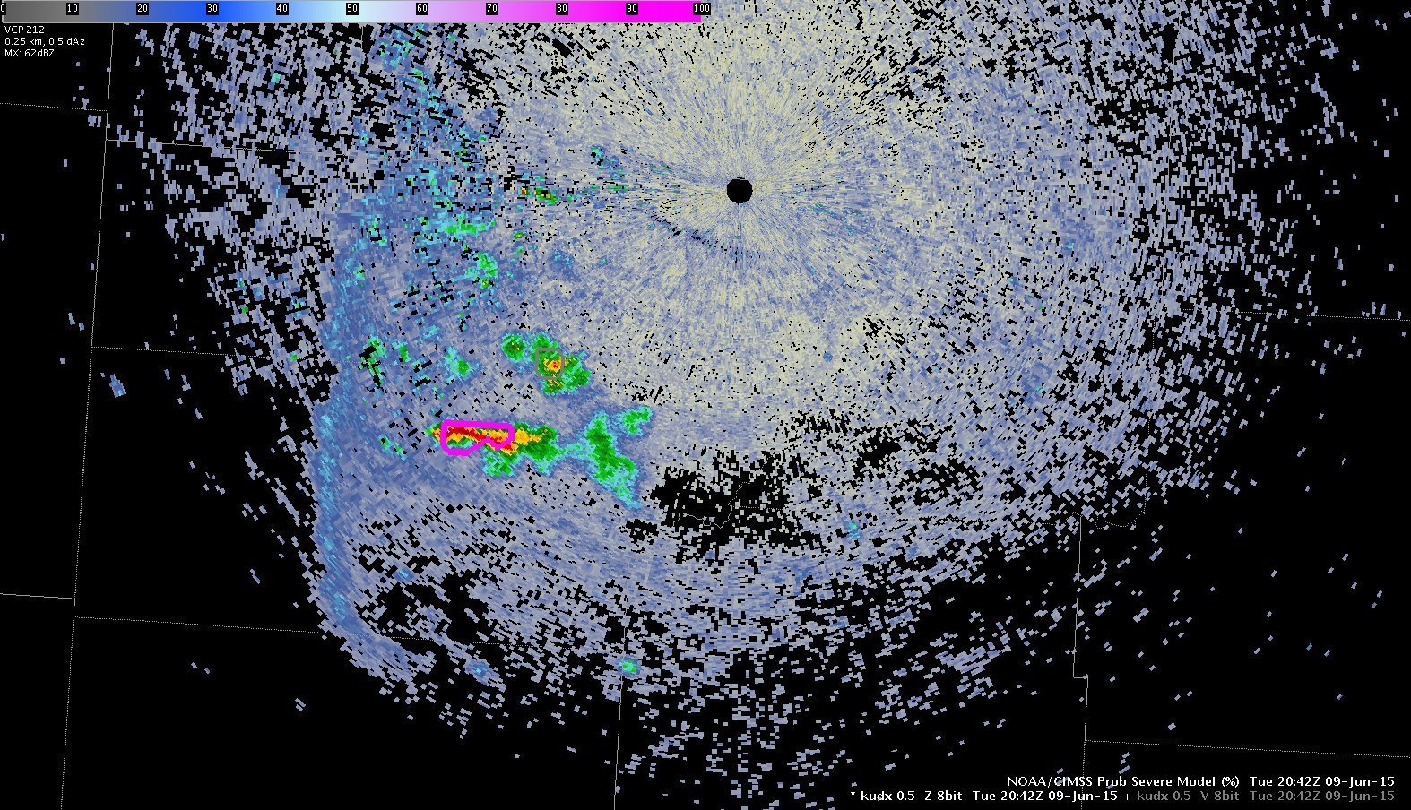
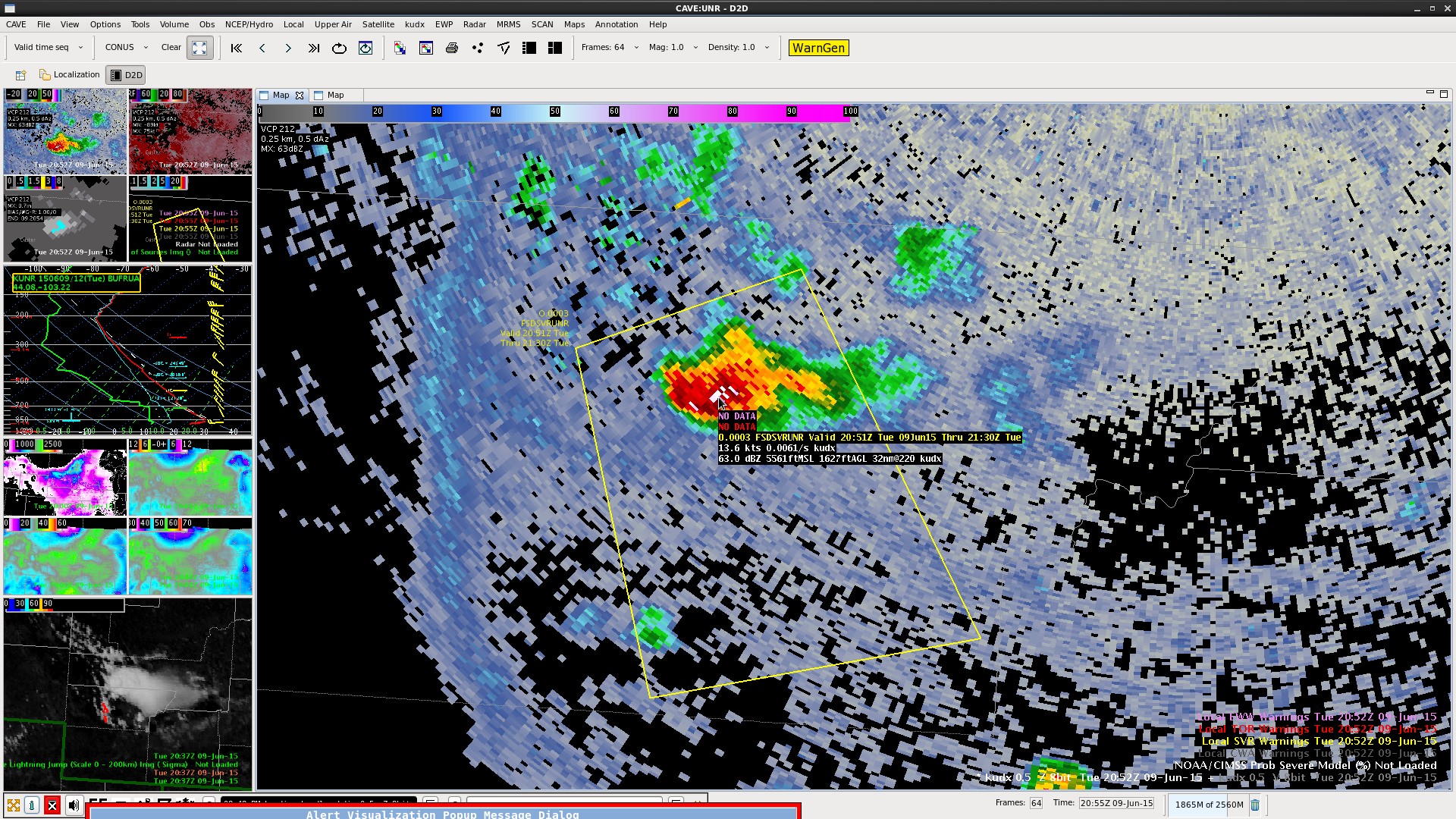
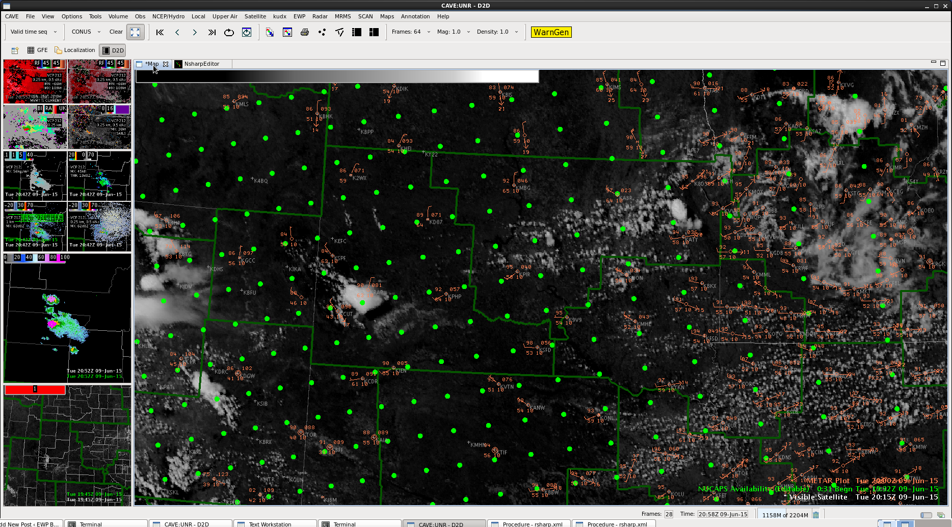
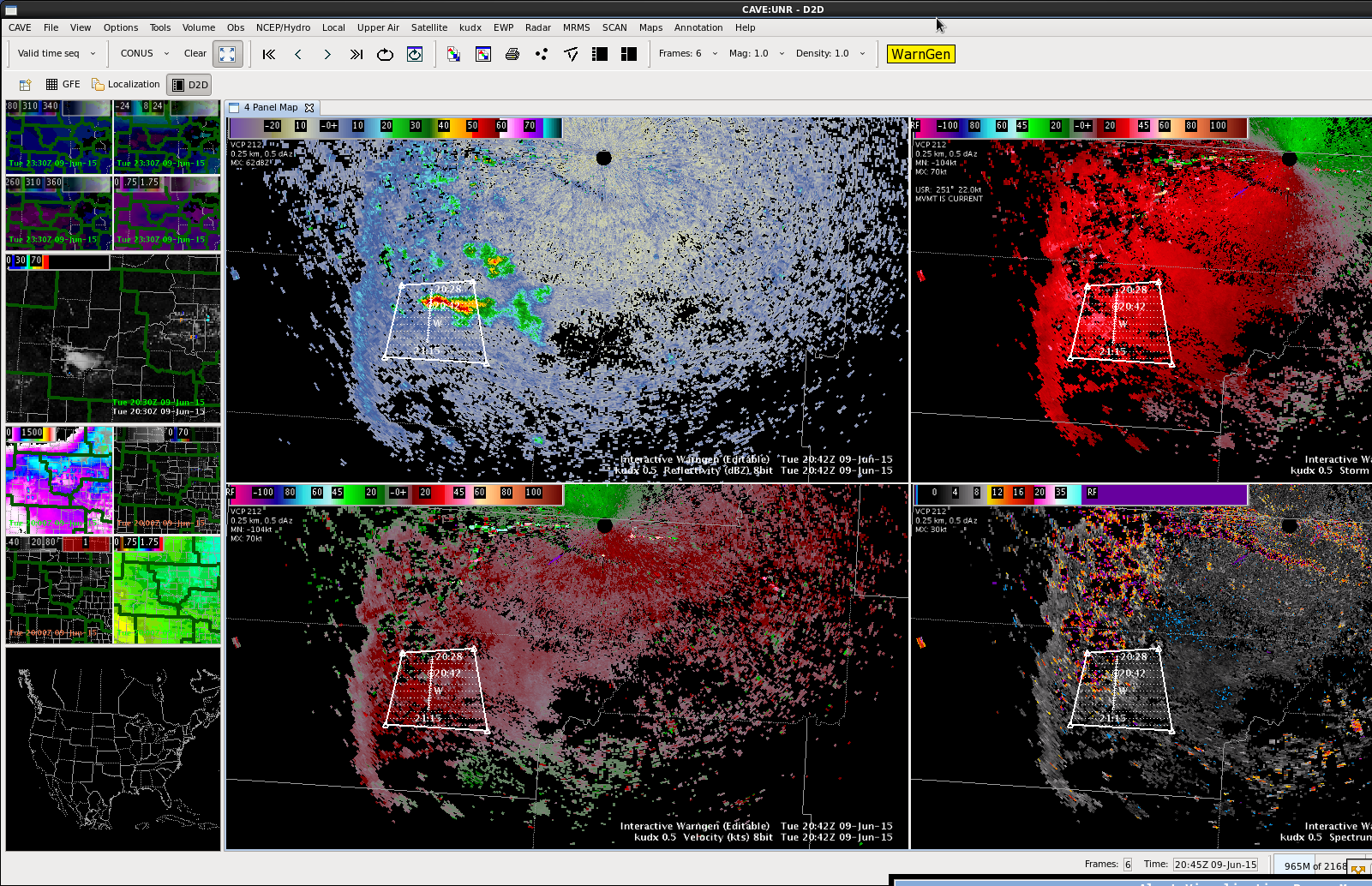
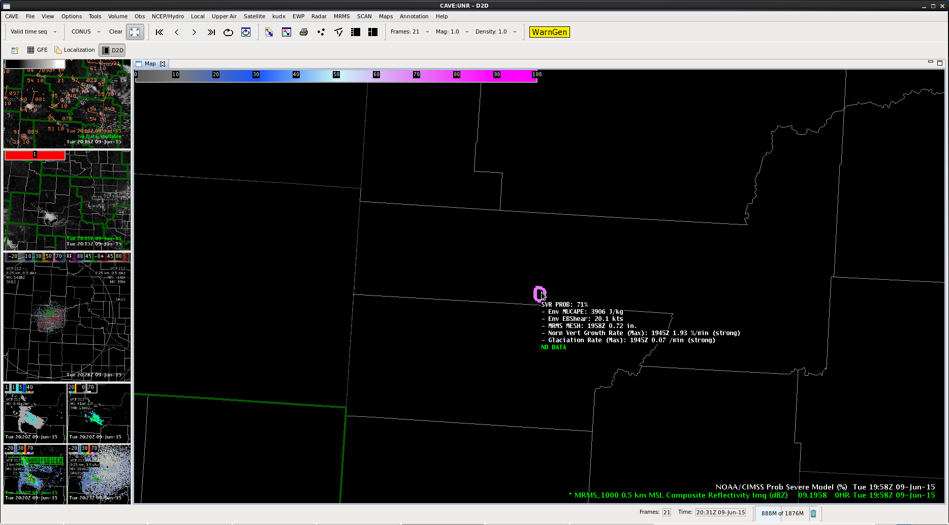
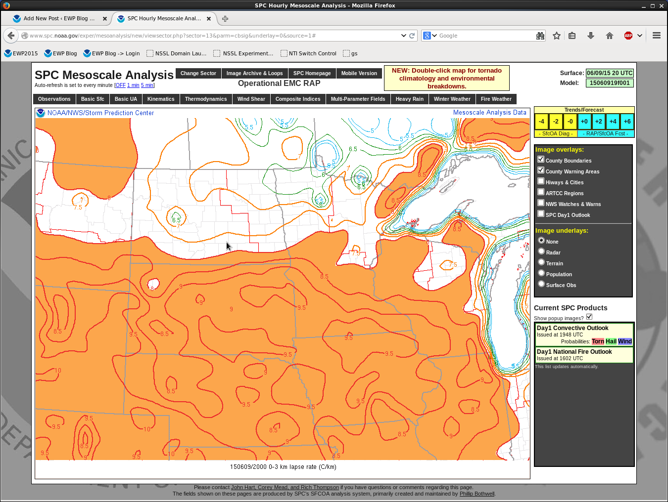
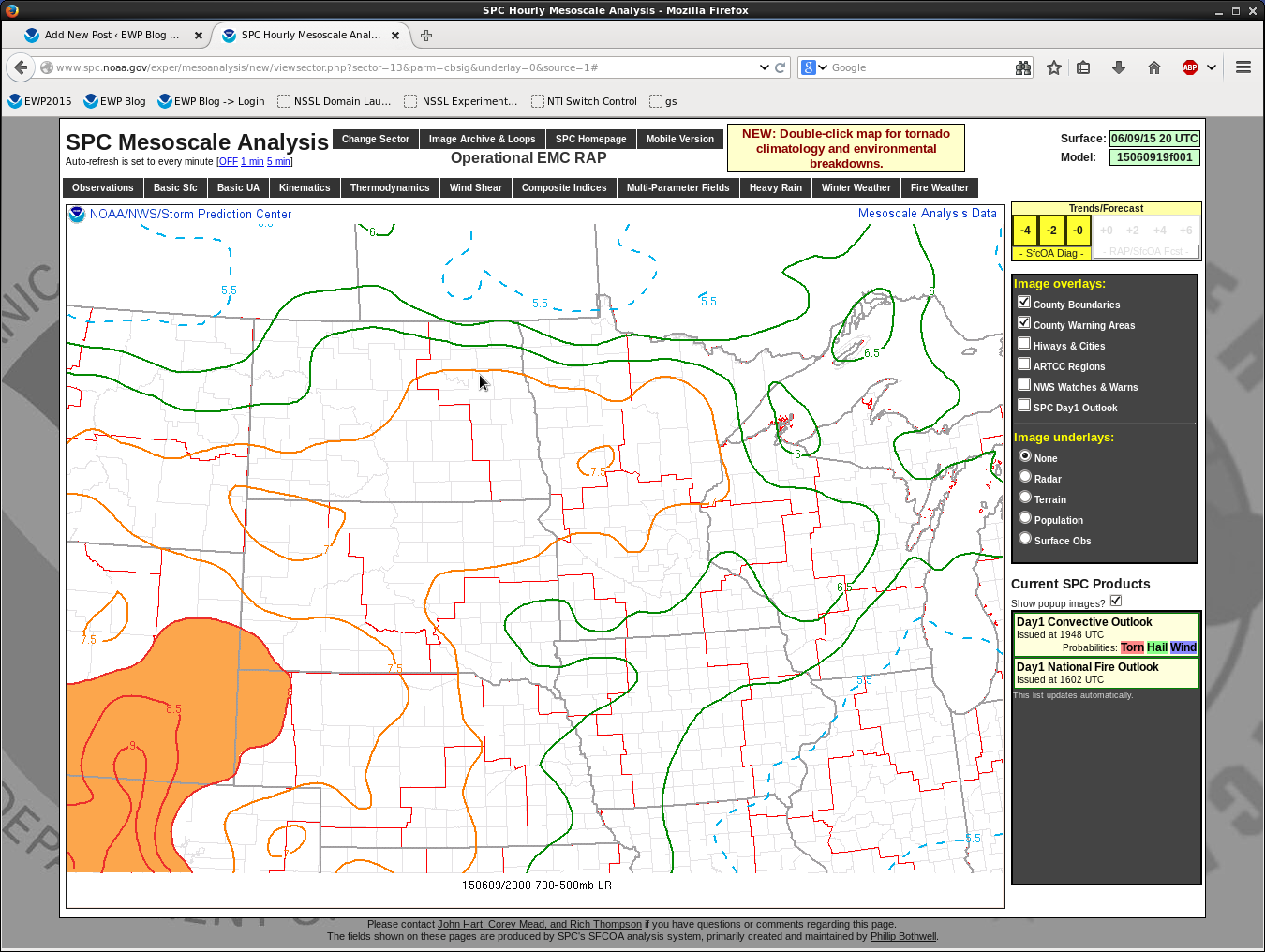
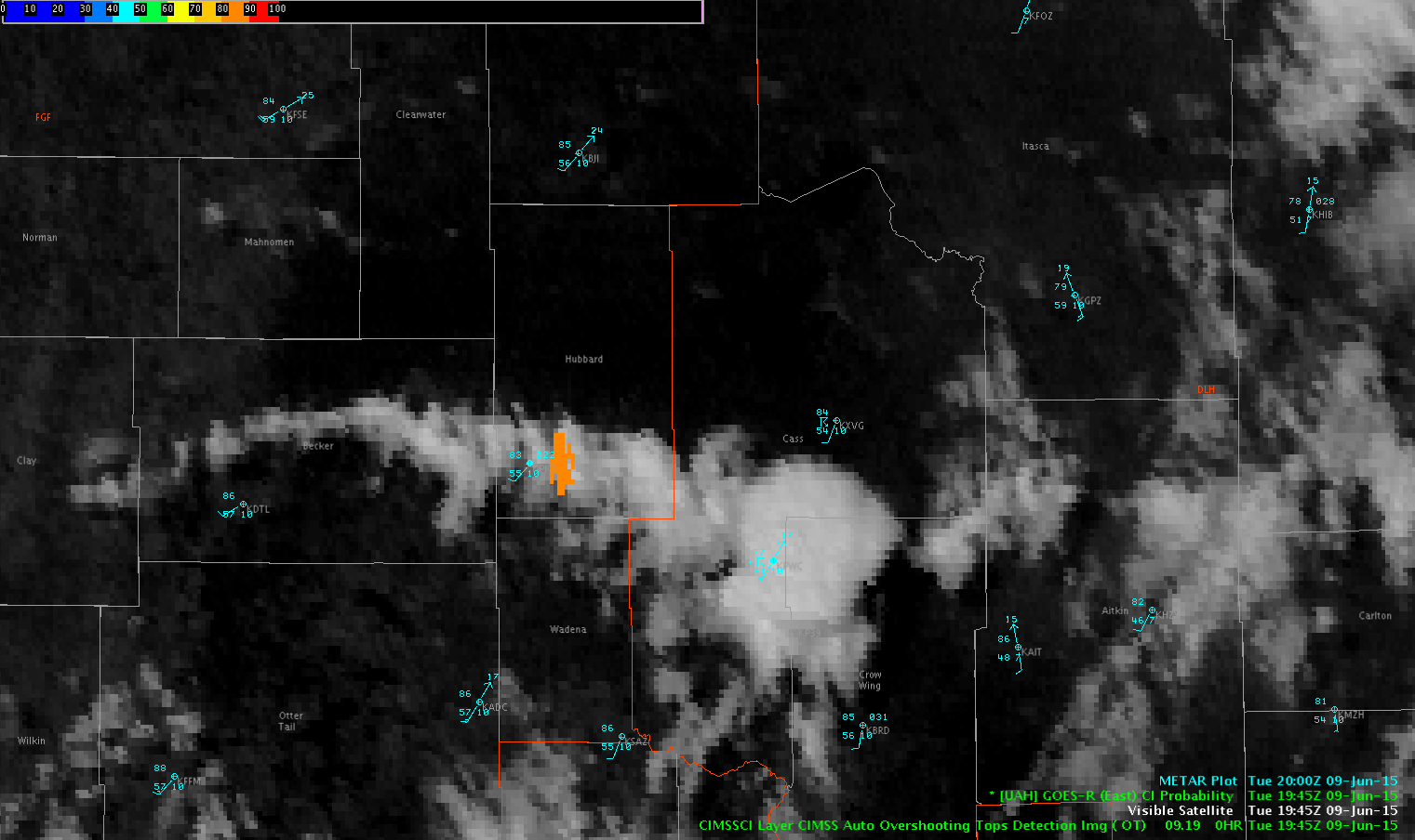
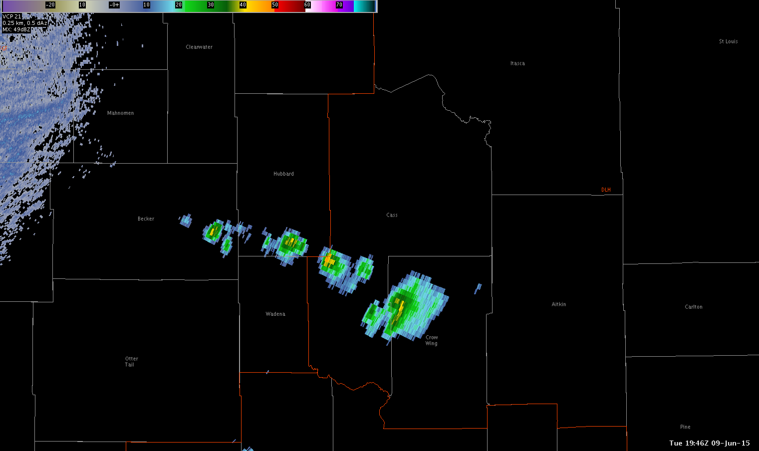
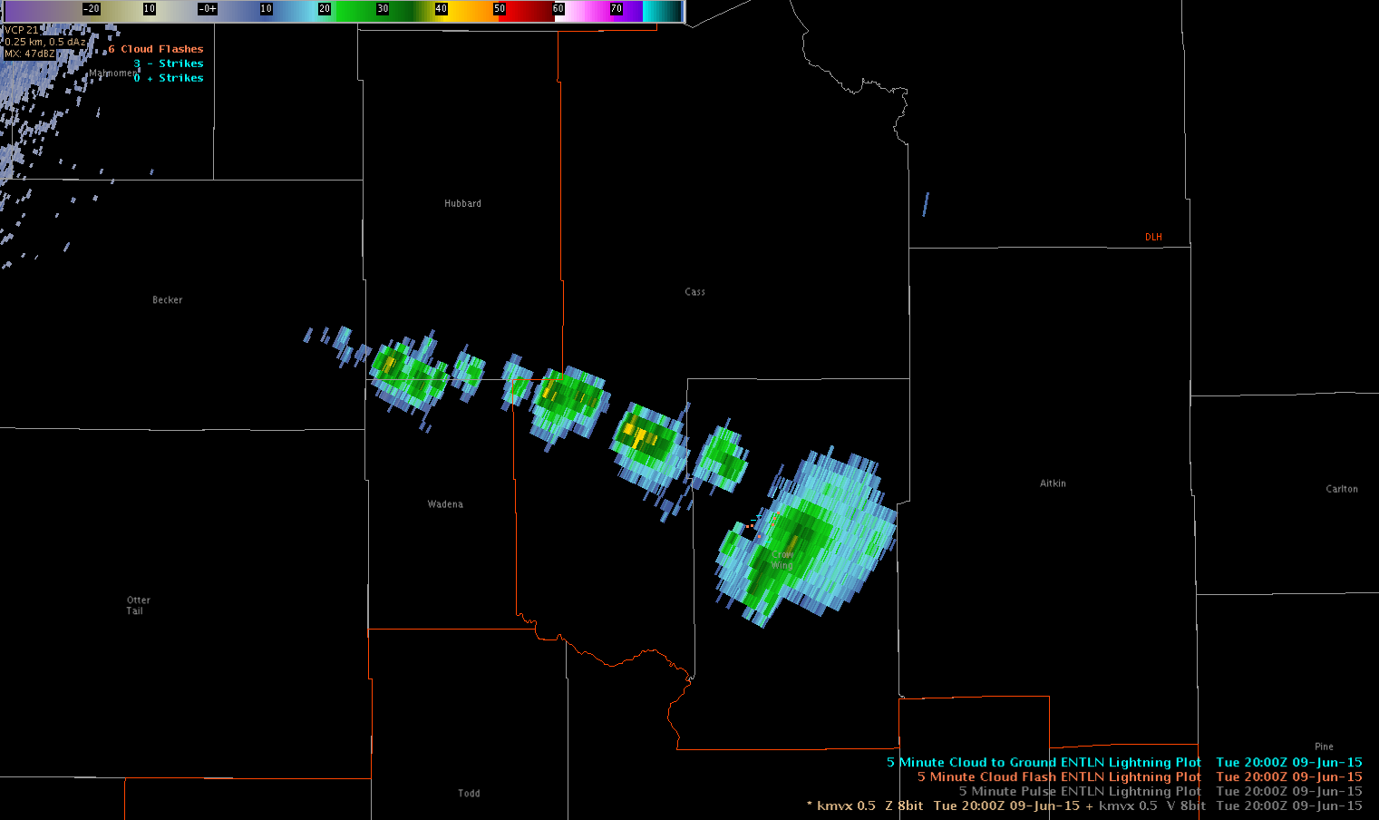
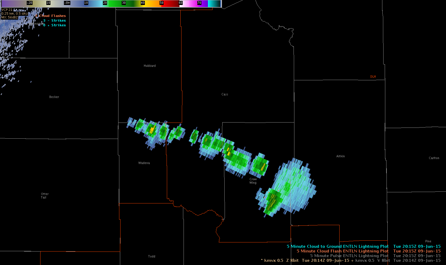
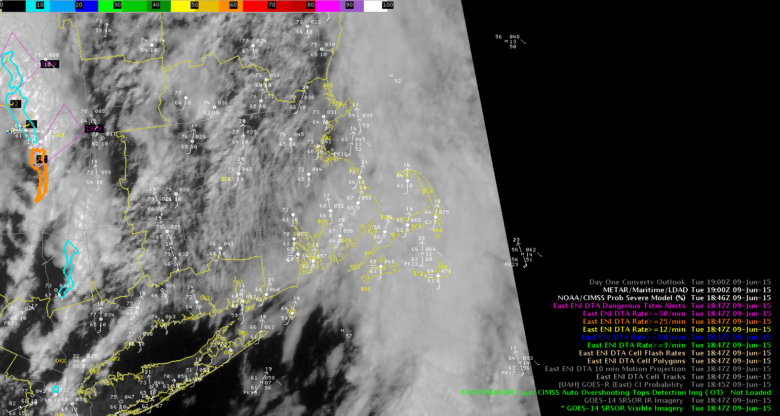
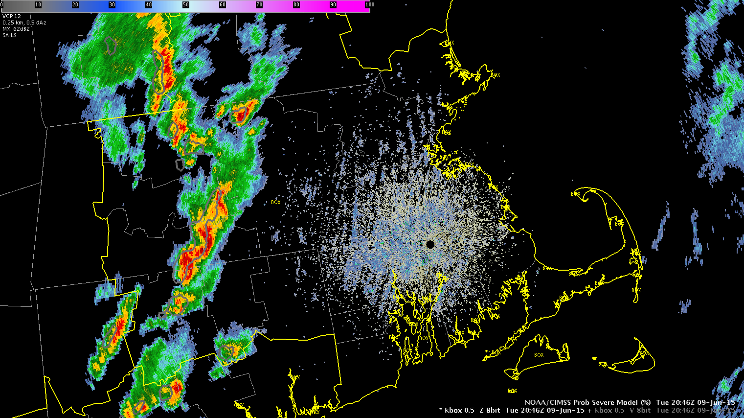
Just noting current frame and prob severe has been confirming what we have seen on radar some short bowing line segments and we agree the threat seems to be wind…but from what we have been seeing on velocity products they have not been meeting severe criteria. Although we did just receive a report of some trees down in Worcester Co…maybe our first warning.

Tags: None

Second SVR UDX Charley

svr2_udx_1 svr2_udx_2svr2_udx_3 svr2_UDX_4

Quick trigger on second storm, as pattern seemed to allow for quick development.  ProbSevere was high on the initial cell here too.  Was little in the way of lightning as well.  DVIL collapsed soon after warning issued though.


Tags: None

Cell in SD

Despite rapid initial cloud growth, it took a little time for the cell in Custer Co. to mature. Before any type of warning was being considered, a 90% ProbSevere showed up before lowering to ~30%. While working on another monitor, the ProbSevere jumped back to ~90% which grabbed our attention and ended up leading to a warning being issued. We issued an SPS about 7 minutes prior.

Working in this environment of cells vs lines, it’s easy to see ProbSevere is much more accurate.

ProbSevere0609Warn0609

Tags: None

UDX NUCAPS sounding


NUCAPS_UDX

Initial NUCAPS (below) had a low SBCAPE, based on dry conditions.  Temperature looked good on original sounding, but when I moistened the environment up (image above), got to the 4500-5000 CAPE SPS meso was showing earlier.  Large spread of dewpoints over the area, likely b/c of topography?  Perhaps the RUC smoothes over those dewpoint changes and that’s the reason SPC meso had the large CAPE.

NUCAPS_UDX_original

NUCAPS_UDX_METAR

Tags: None

Side by Side Total Lightning and Time Series Display

Here is a possible way to display the ENI total lightning data and points to select a time series in the panel to the left and then the resulting time series to the panel to the right, so both are visible. Here my selected point 13 and total lightning plot is what generated the times series for point 13. MrSnow

SidebySideTimeSeriesTotalLighting

Tags: None

SPS Custer

Close to issuing a warning here, but want to see it grow more.  Decided to go with an SPS for 40 mph and dime-sized hail.  Should it continue to grow a warning will be issued.

sps_udx_1

Used All Tilts data to decide that hail likely was getting large enough to make it to the surface.

sps_udx_2

Tags: None

High CI in an area of showers

Watching the CI values along a line of weak showers, the 1945Z image popped up an 83%. The corresponding radar image out of FGF showed nothing more than a weak thunderstorm in the area with only one lightning strike detected (not displayed)

CI1945Reflectivity1945

Fast forward to 2000Z, the higher CI values (71%) have moved westward along the line. This makes sense as the line of weak showers/thunderstorms continue to build west. There has been no further development of cell that had the earlier flag of 83%.

CI2000Reflectivity2000

Fast forward even further to the 2015Z images. The CI output disappears and the corresponding radar image shows no further development.

CI2015Reflectivity2015

-Shasta

Tags: None

SRSO showing marine stratus over SE coast of New England

The GOES SRSO imagery from 1848-2015 UTC shows the influence of the cool onshore flow with marine stratus holding on the southeast coast of New England from Groton, CT (KGON) to Providence, RI (KPVD) to Marshfield, MA.  Just to the north of that region the smooth texture of the marine stratus changes to rolls/streets showing us where it might be possible to convection to develop. MrSnow/inthecards

BOXSRSO_Stratus

Tags: None

Rapid City Meso Discussion Charley

Moving to a high CAPE and DCAPE environment.  SPC Meso analysis has 5000/1700 for each.  Near cast model shows the region is fairly unstable.  Area under clear skies now.  12Z sounding had 12 kft freezing level as well as 8500 wbz.  PW of 0.67 is dry.  Have some cu over western Pennington that is blowing up now.  Seems region is unstable.  CI had a high value just before that cell went up.

CI_2

The yellow area above did not blow up, but the next image below did go quickly…see following image as well.

CI_1

CI_3


Tags: None