ABQ South is now FSD ALL

We abandoned ship and moved way north to look at the development in SD. Good looking cell moving into Bruce County however the MESH is only up to 0.79. Will continue to monitor since this storm is in an area of 2000-2500 j/kg SBCAPE. Below is an image of the CIMSS CAPE and RUC13 SBCAPE (contour).

Tags: None

ABQ: Comparison of NEARCAST and RAP CAPE

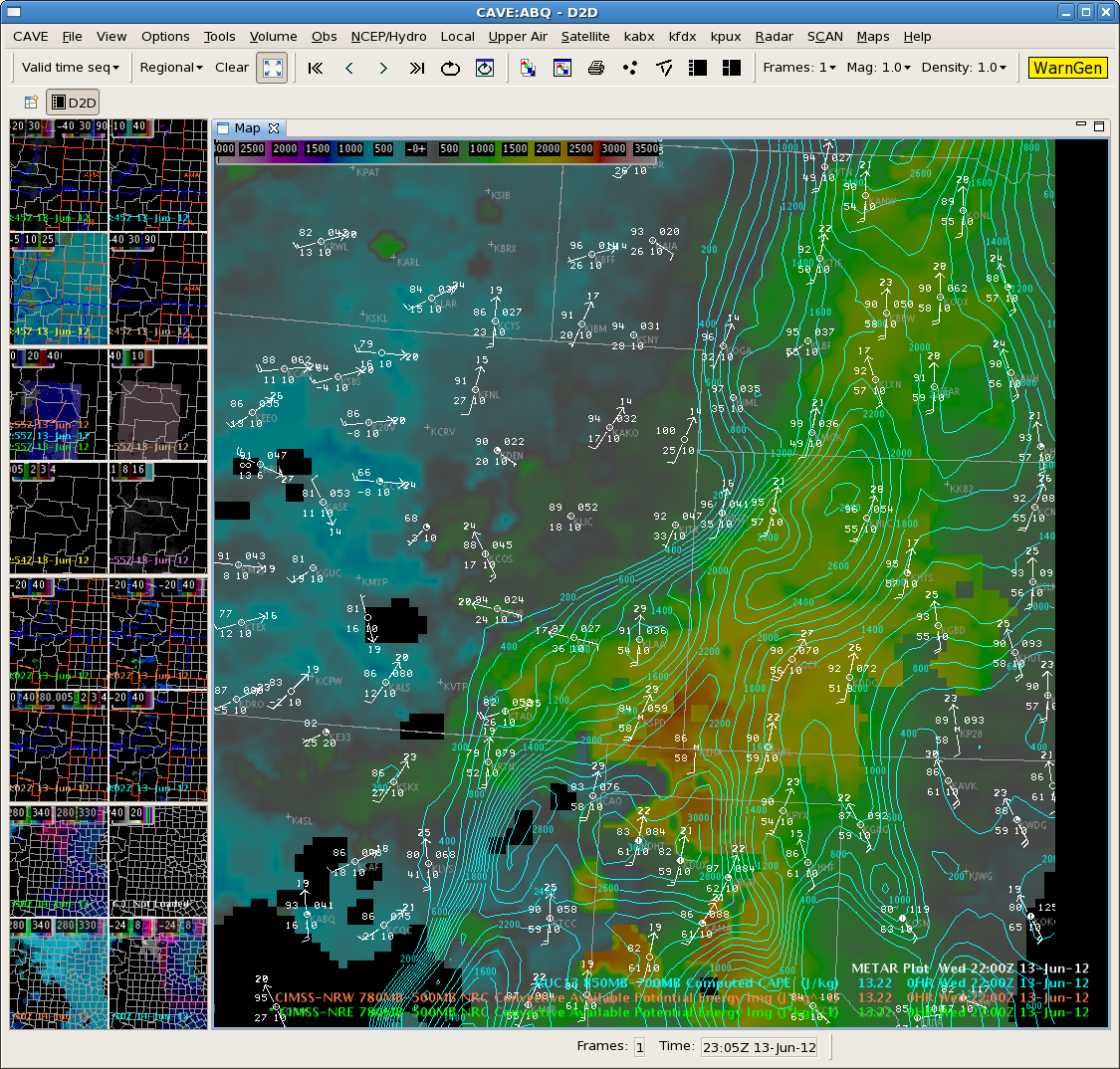
While waiting for convection to become surface-based, we overlaid CIMMS NEARCAST 780-500MB CAPE with RAP 850-700MB CAPE.  As I mentioned in a post yesterday, I realize that these two CAPEs were not meant to be compared together as they are computed and sampled differently. But FWIW, I did the comparison at 2200 UTC and was surprised how well they compared.
The axis of CAPE in the RAP from NW of Roswell to the NE corner of NM seems suspicious, given the density of surface observations (see image). Other than that feature, the comparison seems generally good. Perhaps the RAP uses satellite estimates of theta-e or CAPE already.  Something to research.

SNELSON/TY

Tags: None

MAF Update at 23Z…Could This be the Start of it???

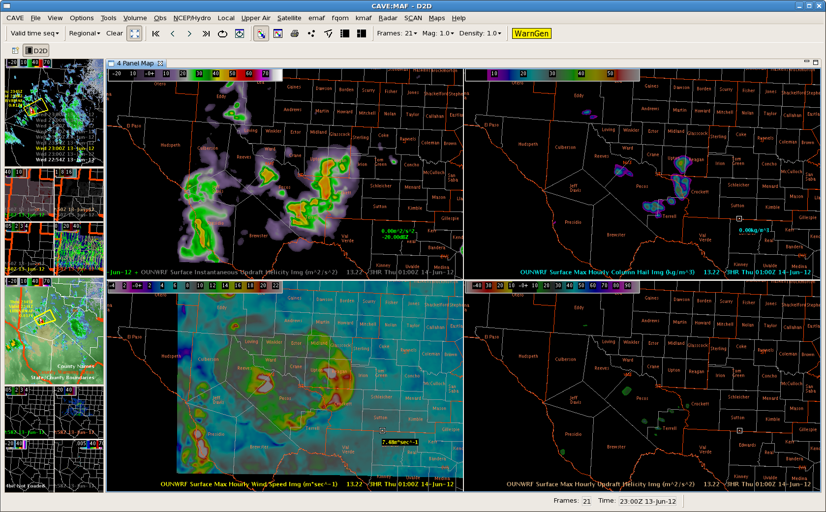
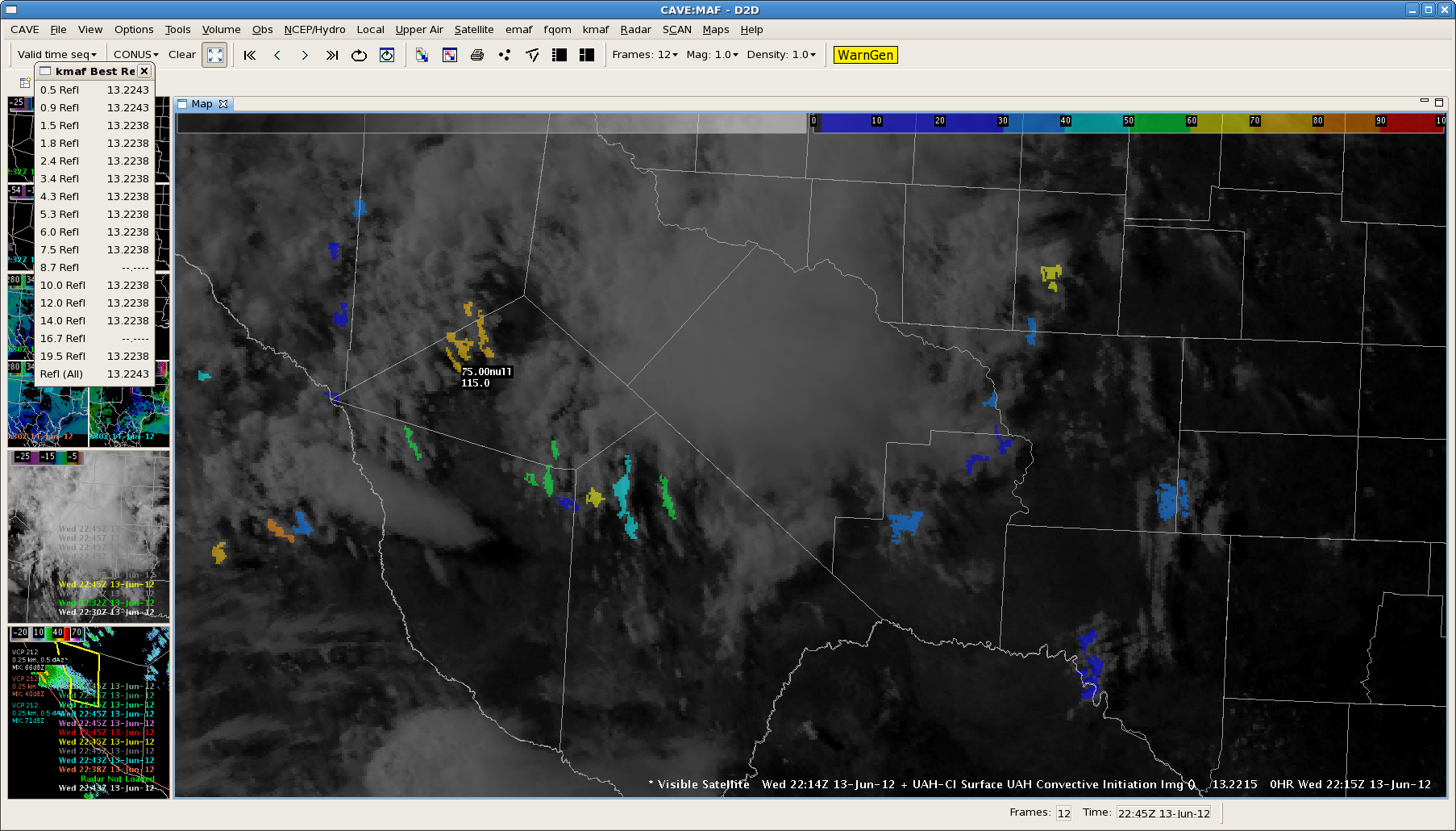
22Z OUNWRF just in still insists that we will be getting busier as storms develop farther east into the Midland area.  Currently we have one warning out for Jeff Davis…southeast Culberson and Reeves Counties.  We are wondering if the instability has been cut by the mid and high clouds moving across the area.  It is “only” 90 degrees in Midland right now well east of the scattered light shower and isolated thunderstorm areas.

Tim/JeffG

Tags: None

ABQ South: 2130z Update on Lincoln County Storm

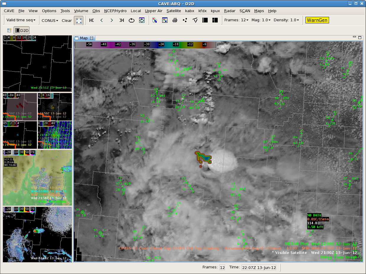
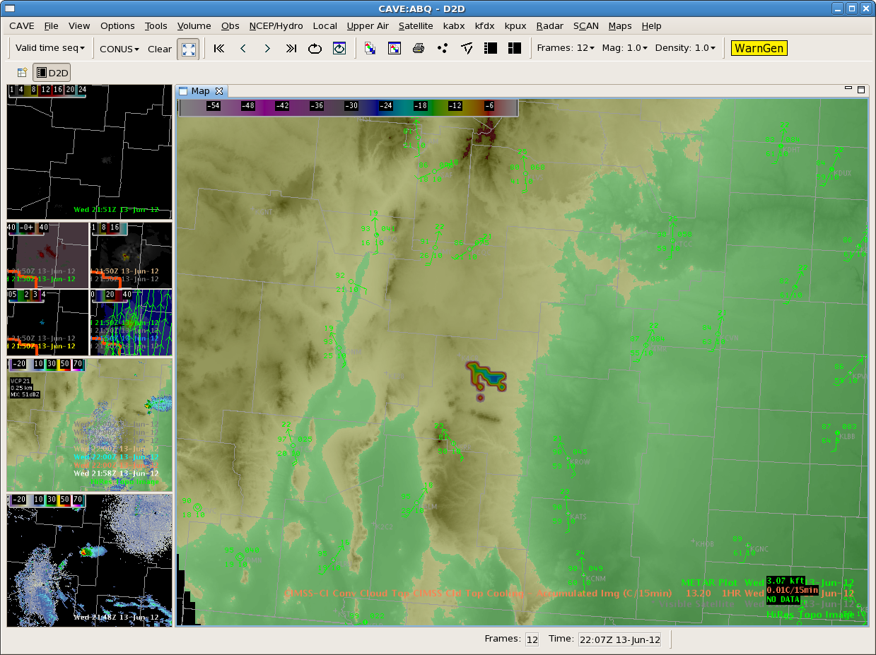
Looks like the Lincoln County storm/shower is starting to diminish. Interestingly, the CTC product showed -25c but again, it was over the higher terrain. Today, it seems like whenever anything develops on the higher terrain, it moves off into the lower elevations and dies out. Suspect the storms still cannot realize that reservoir of SBCAPE to the east.

Tags: None

MAF Second Warning for Persidio County

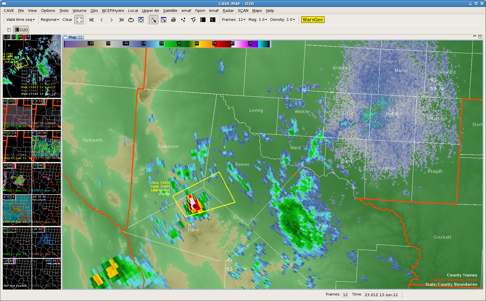
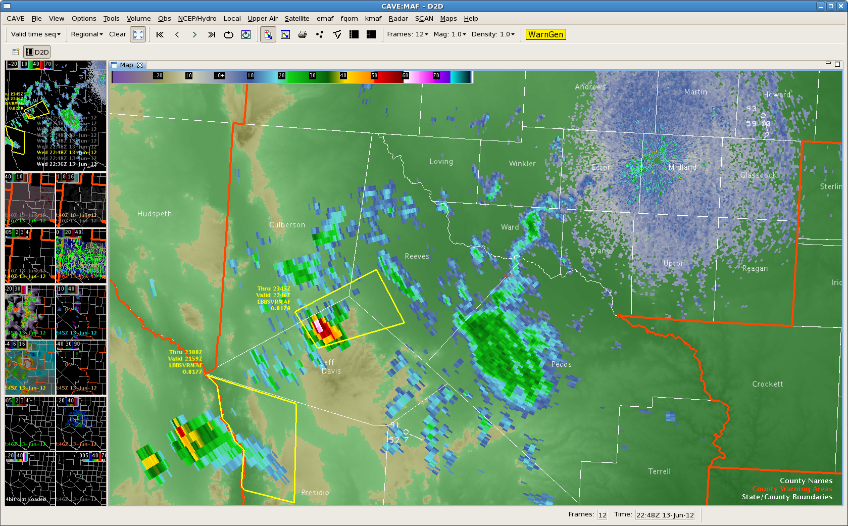
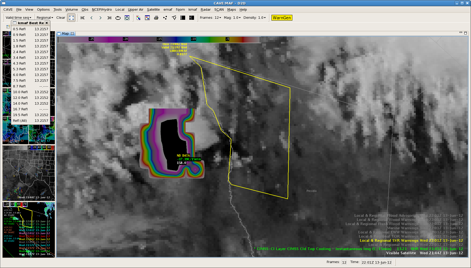
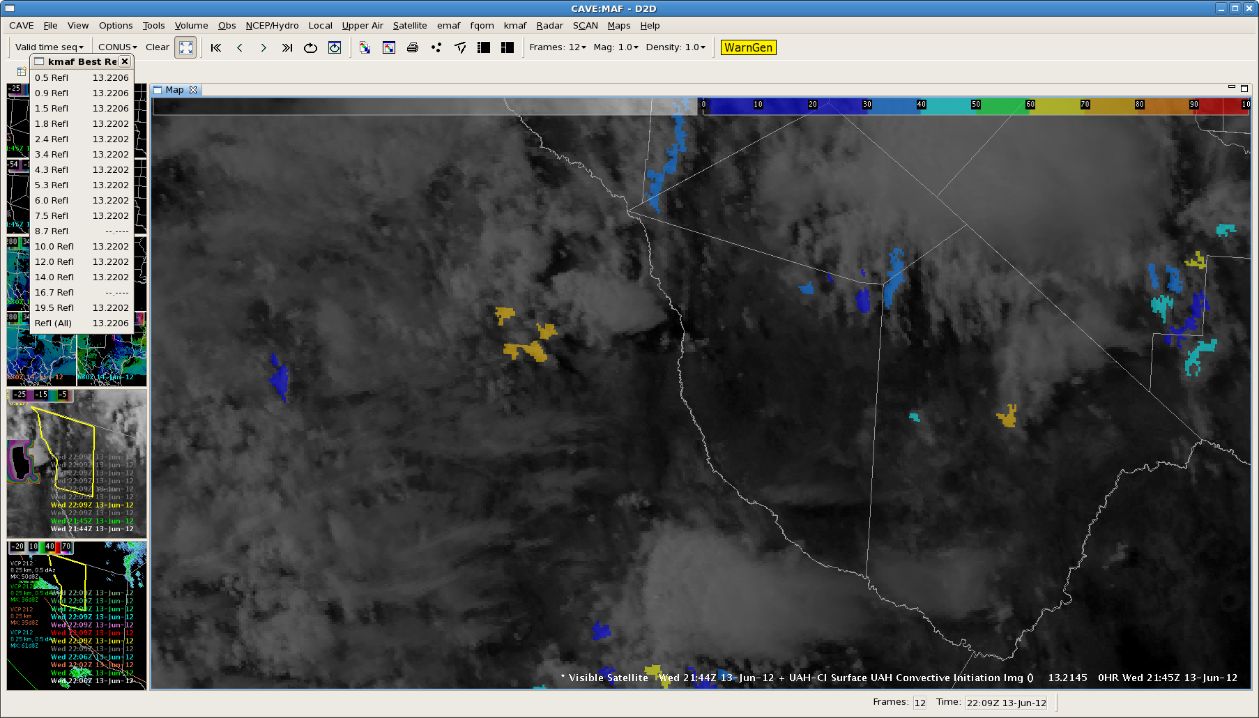
Issued our second Severe Thunderstorm Warning for Persidio County.  Storm is showing strongest Cloud Top Cooling rates observed today around -37C/15 min.  This cell is over northern Mexico way out towards the edge of the KMAF NexRad coverage…with 40 dBZ echo at 35 thousand feet.  We will see how this one pans out as it get closer in on the radar coverage as it moves towards the Davis Mts. Here is the corresponding CI imagery…

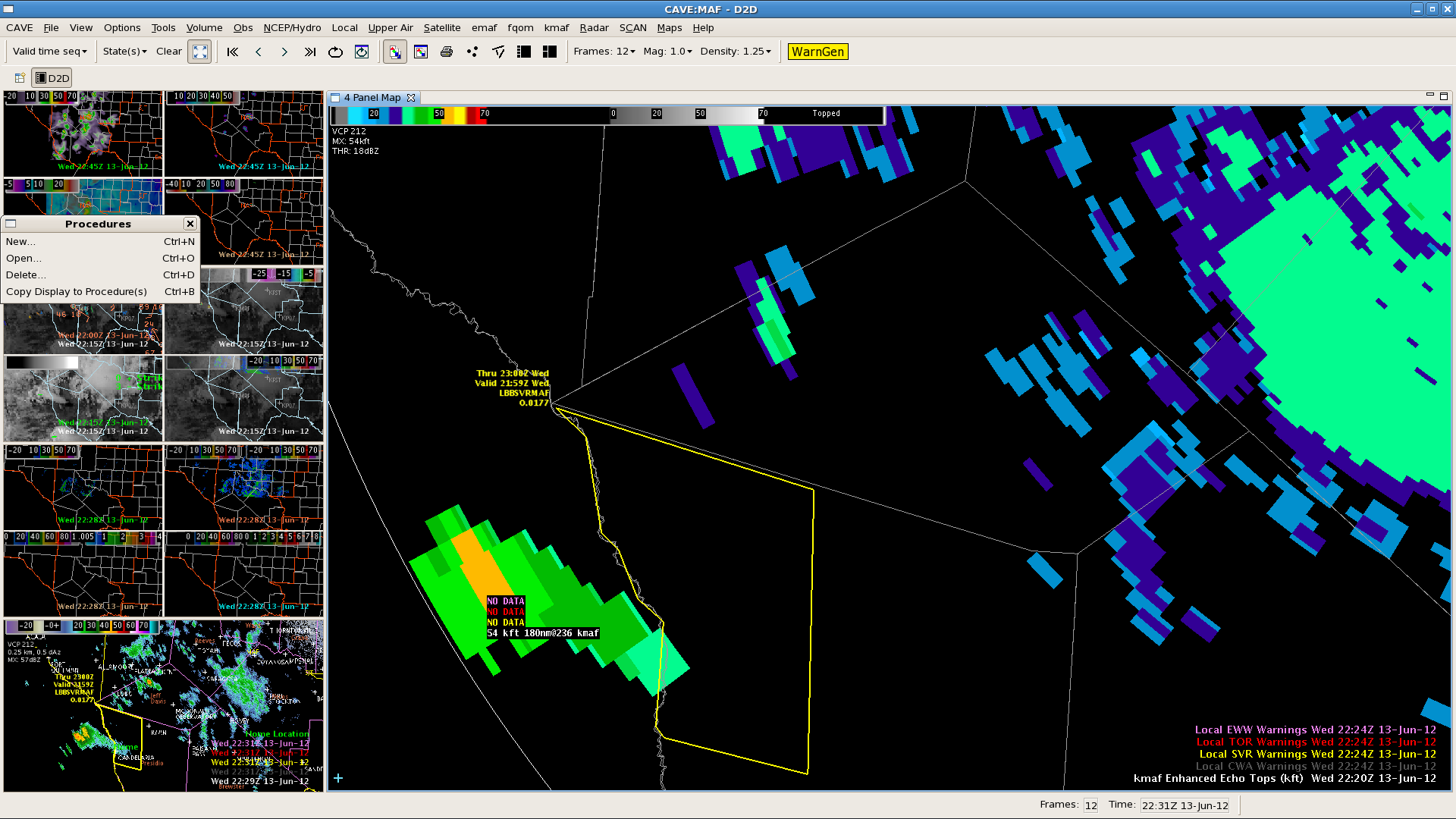
Update…KMAF Echo Top shows storm west of the Rio Grande has increased to 54 kft at 2220z. This gave around 30 minute lead time before increase.

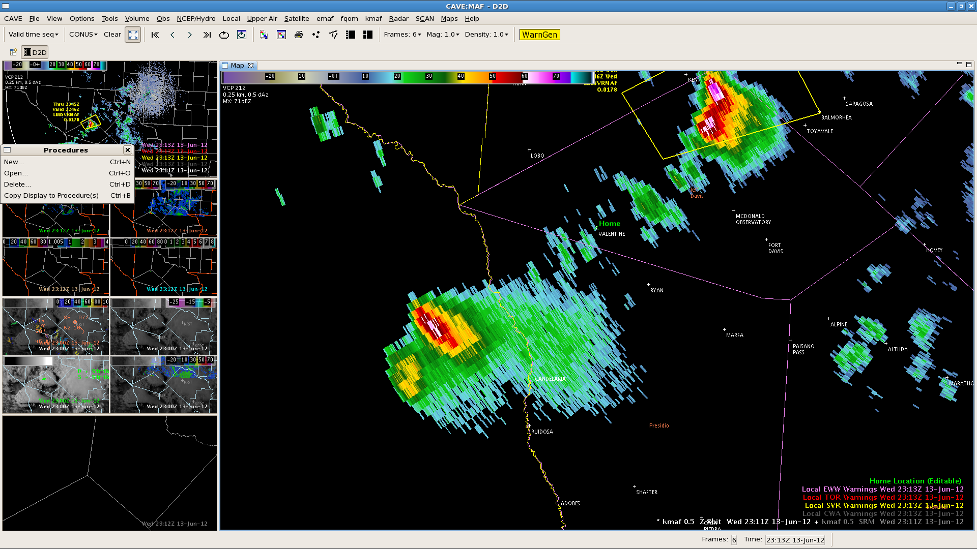
Update…storm over Mexico northwest of Candelaria intensified to over 64 dBZ at 2311z. The strong CTC signature gave a lead time of a little over an hour for this intense storm.

Tim/JeffG

Tags: None

ABQ North: It’s All Going To Plan

The latest run of the OUN WRF is verifying nicely with no significant thunderstorm development. Persistent attempts in the north central Colfax county (elevation around 7500 ft) have amounted to very little.

MESH product has maxed out at 0.08″. Both the KABX and KFDX have had a 40 dbz echo that is gone up to about 30kft.

We’re not hopeful with much development east of the mountains, based on atmospheric conditions and +3 hour OUN WRF forecasts (convection is expected to be more in Amarillo’s CWA by that time). Here is the 0030z forecast based off the 20z OUN WRF:

Tags: None