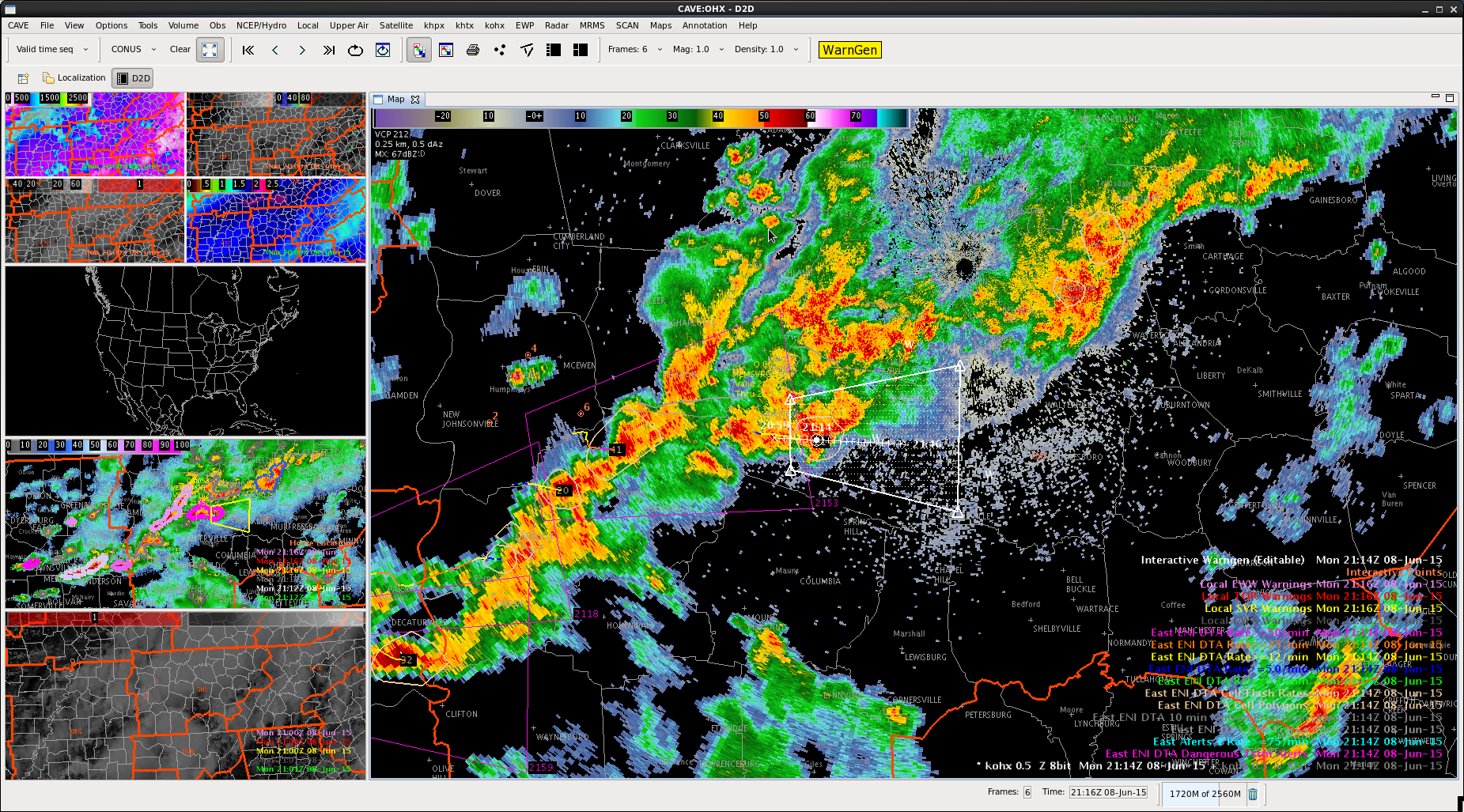
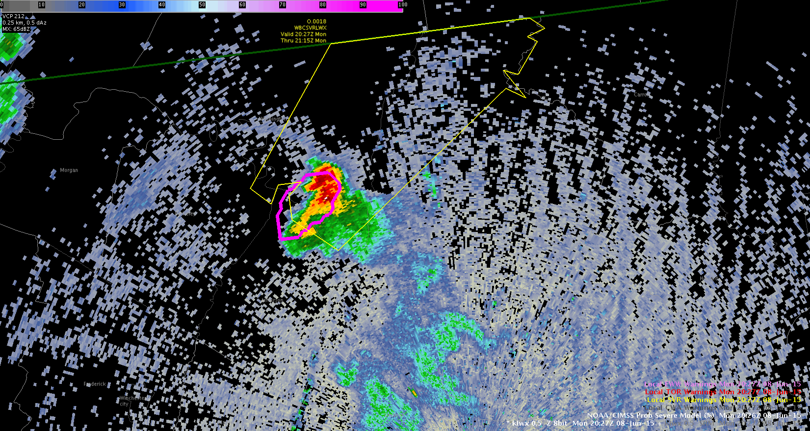
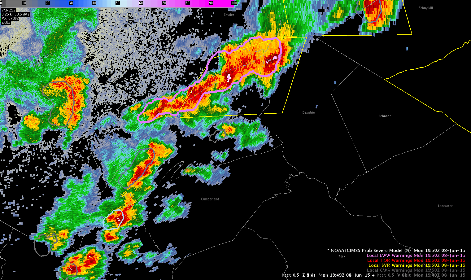
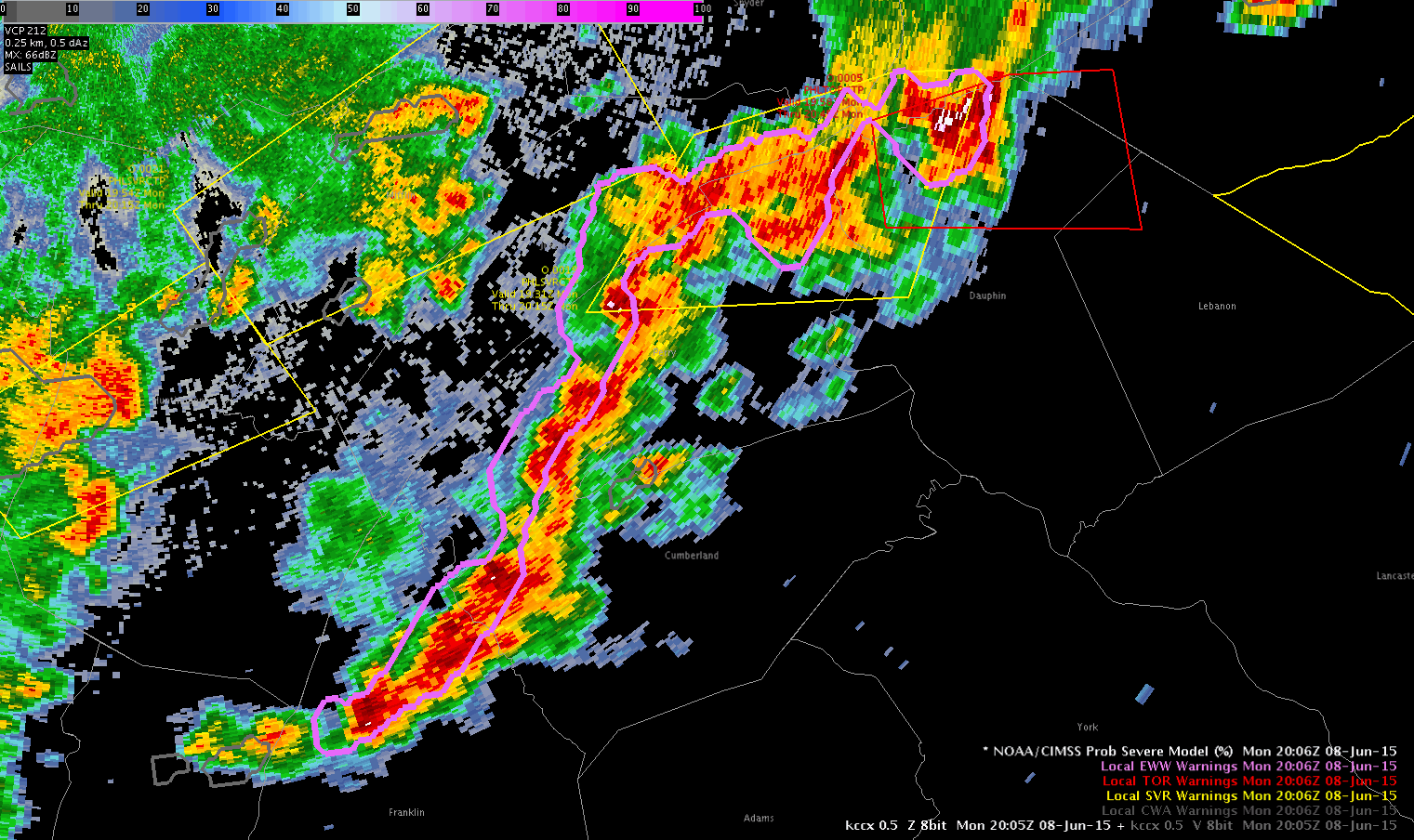
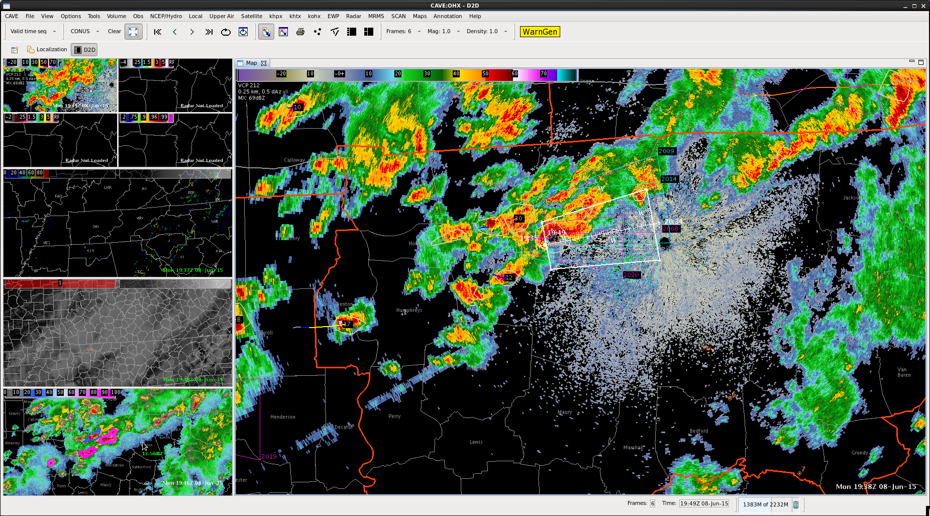
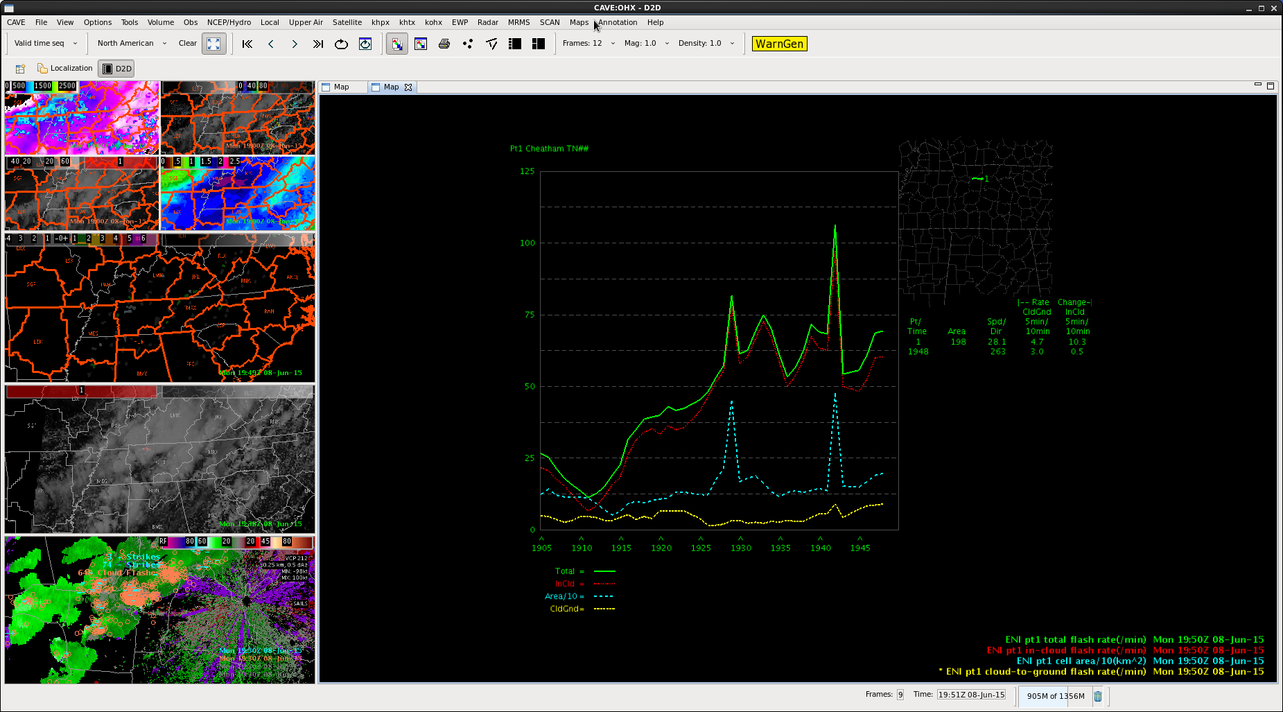
We’ve got a lot of action going on across our CWA this afternoon, and most of the storms have had at least a 1 sigma lightning jump. Some of them have had a significant jump, up to 7 sigs.
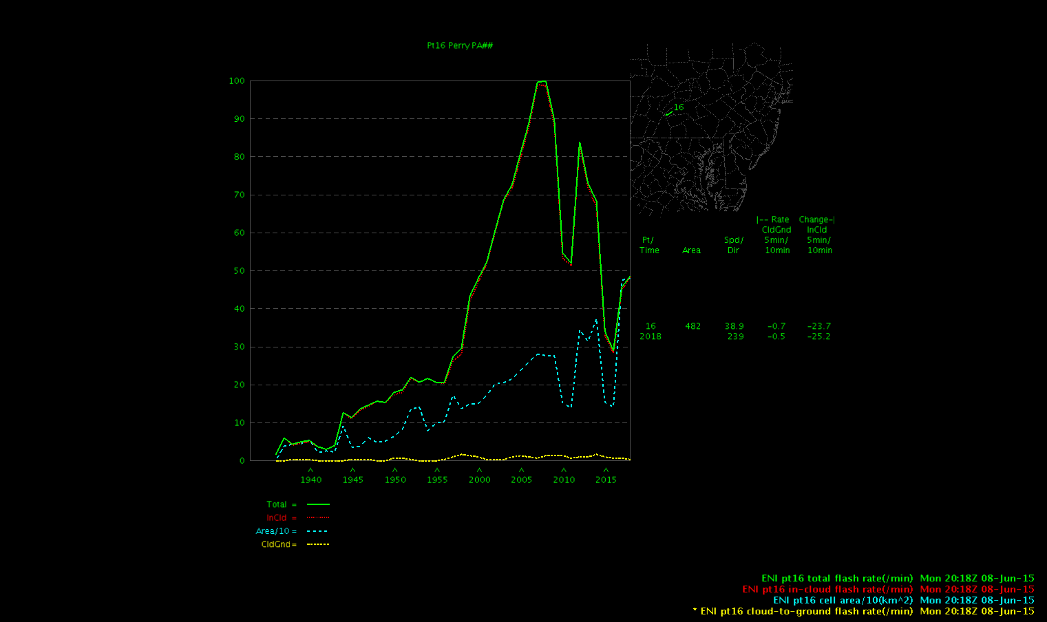
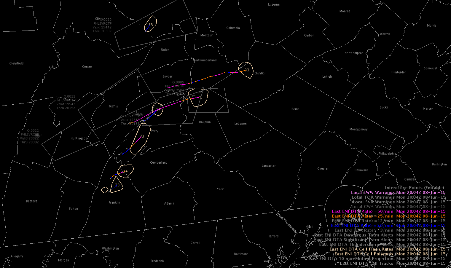
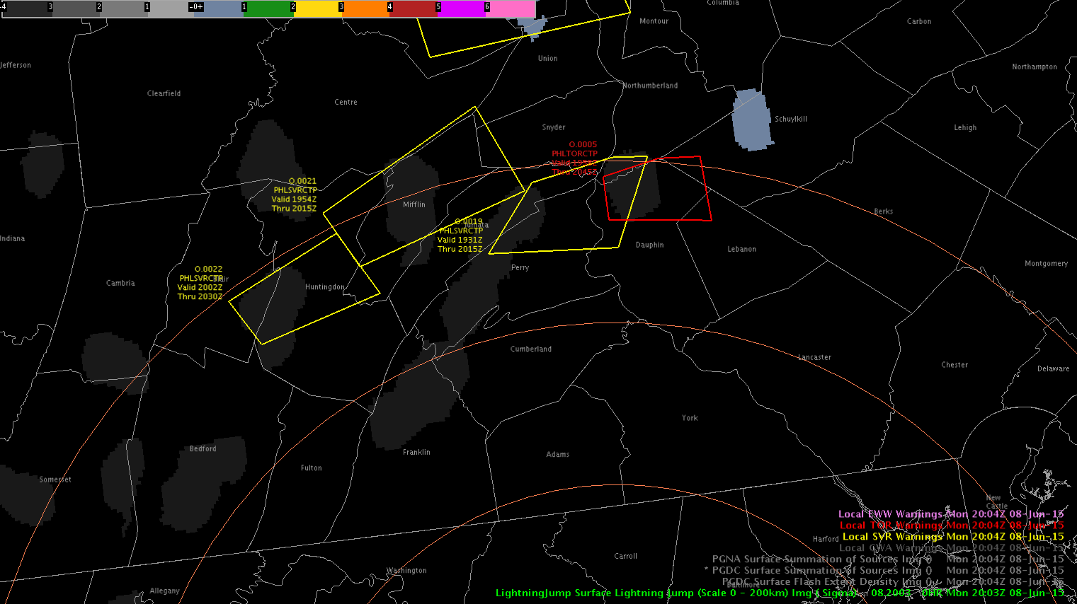
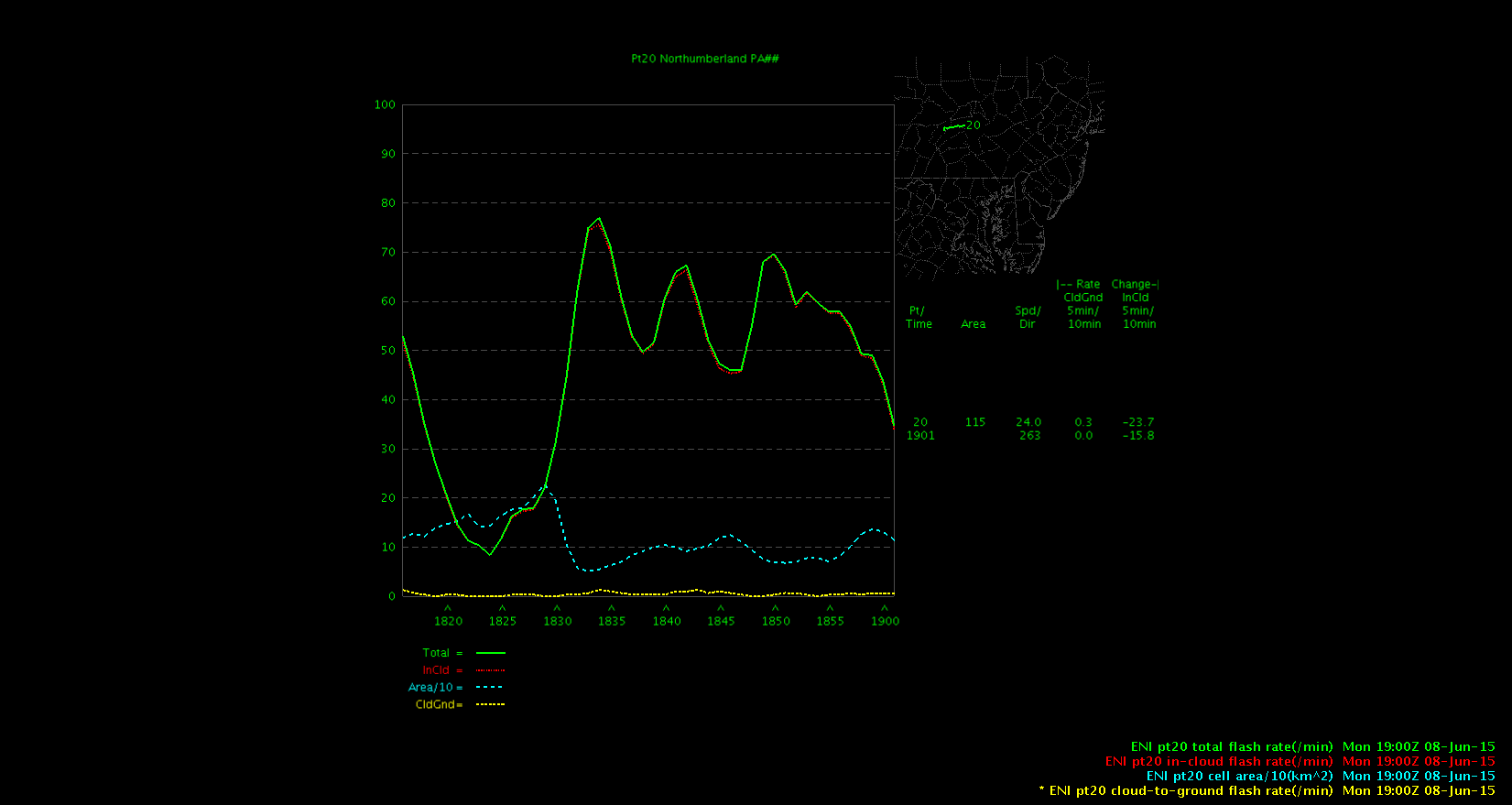
One cell we were tracking (eventually turning more linear) was moving across Perry Co, PA. We spotted an 80 flash/min jump (from 20-100) in 10 minutes.

This area did receive reports of a tree down (~1950z) and pea-sized hail (~1950z) just before that huge jump. There was still a smaller jump taking place at that time (from 10-20/min over 10 minutes).


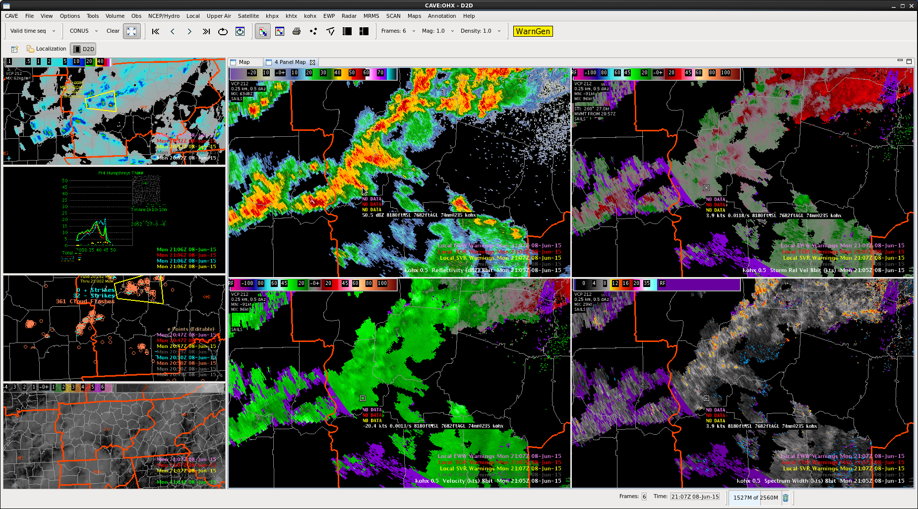
We did notice there were some tracking issues in terms of cells merging and determining a jump. We account this to the amount and speed of convection in our area. Visual jumps were spotted on the time series graph, but it did not show well on the LJDA map.


-BT


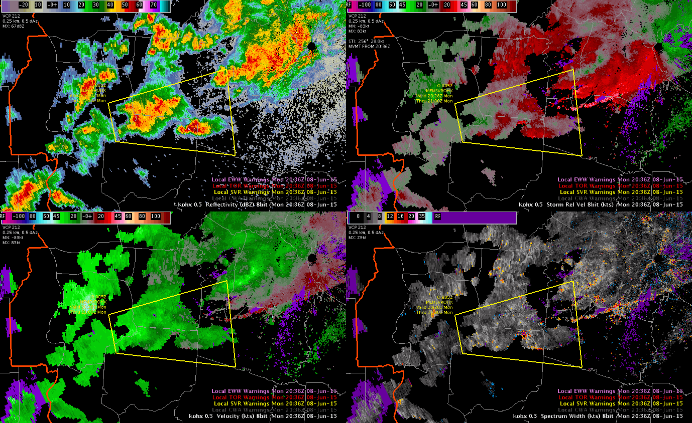
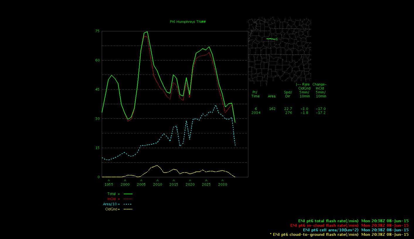
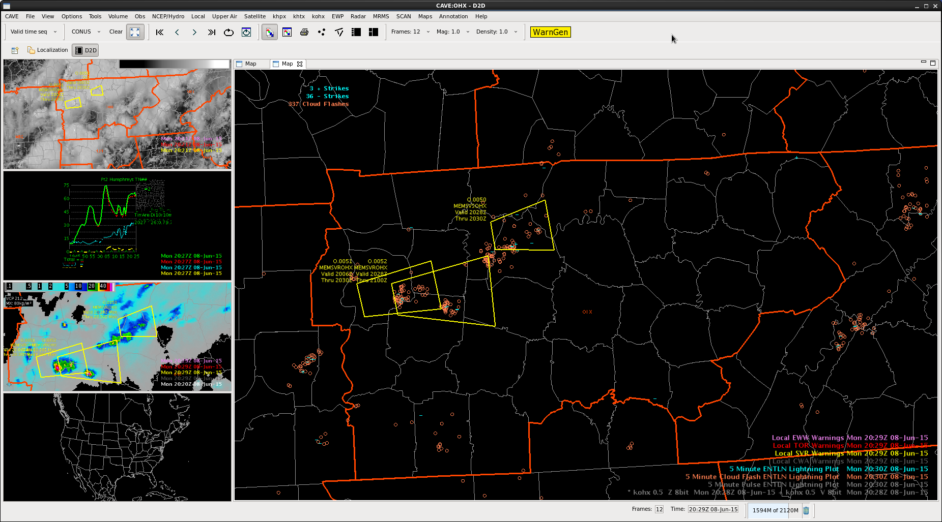
 Did not have a high lightning count
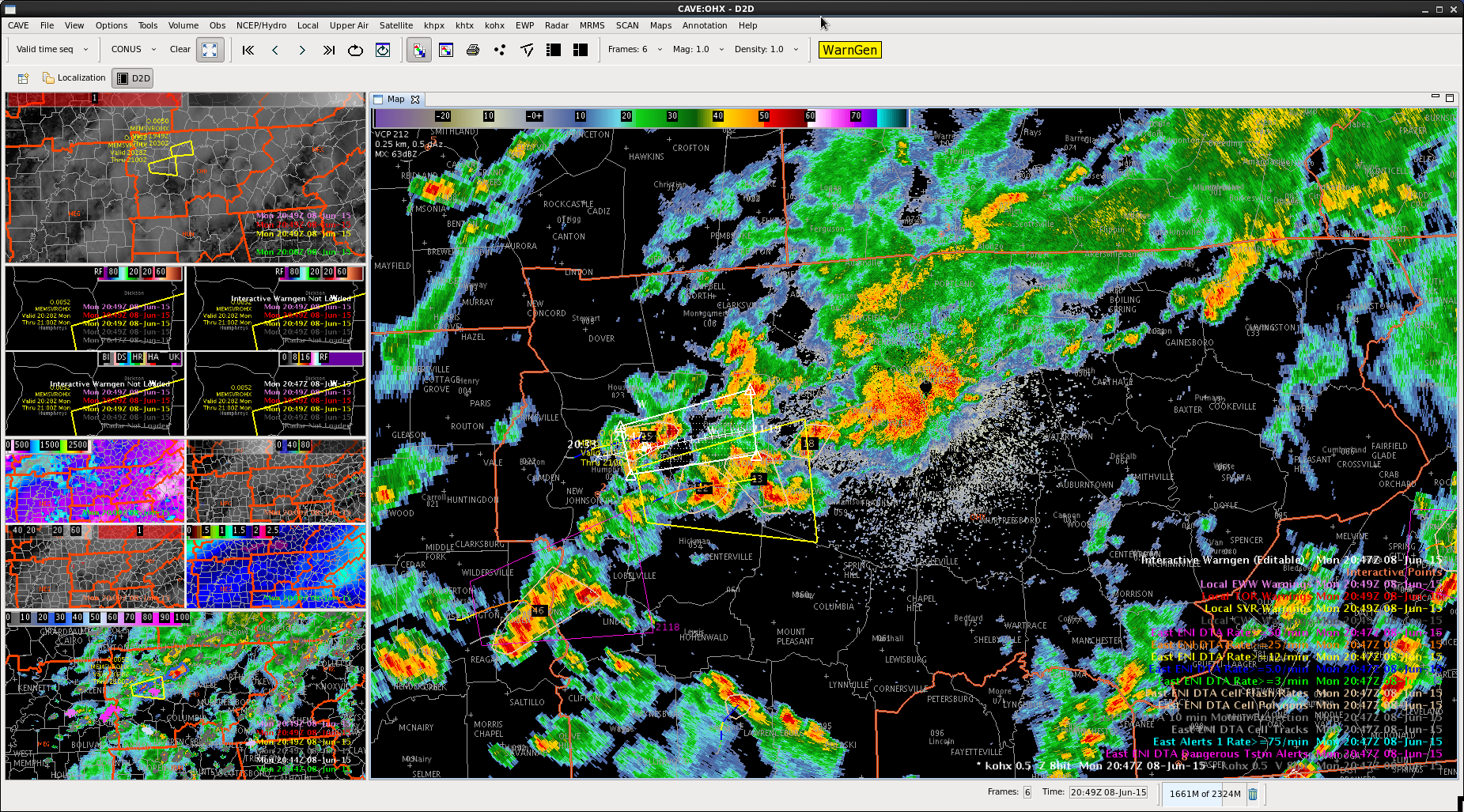
 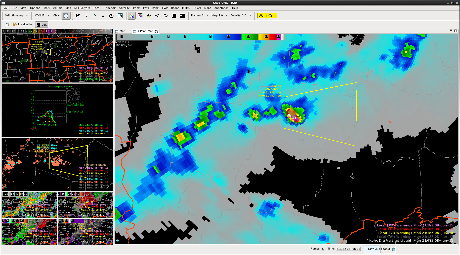 Had a quickly building DVIL
 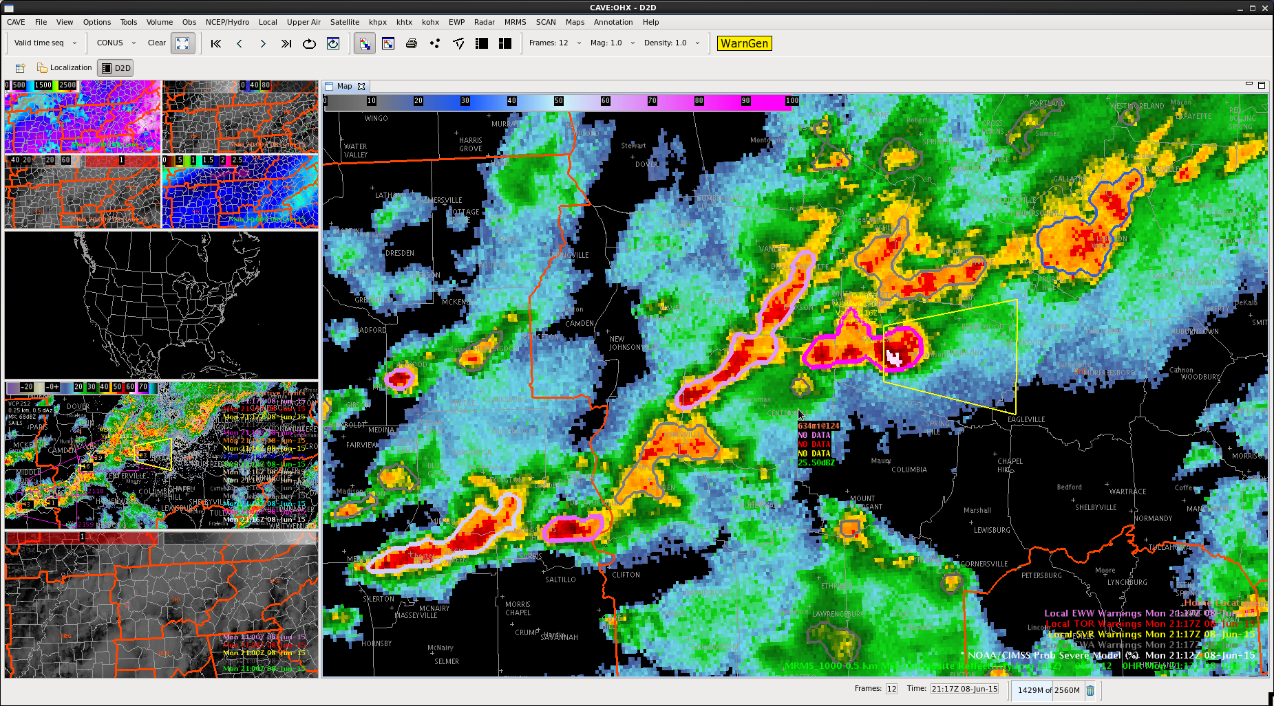 ProbSevere was high
 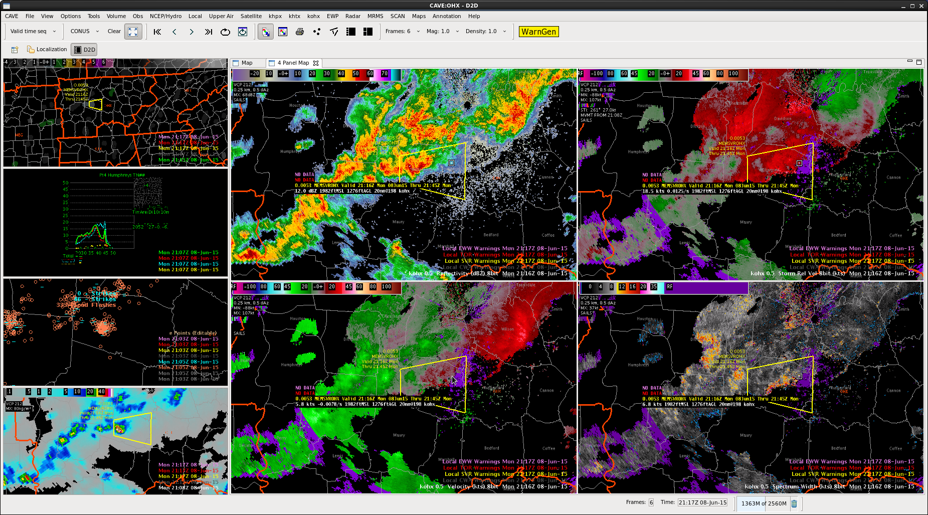 Storm formed on boundary…moving right of mean flow
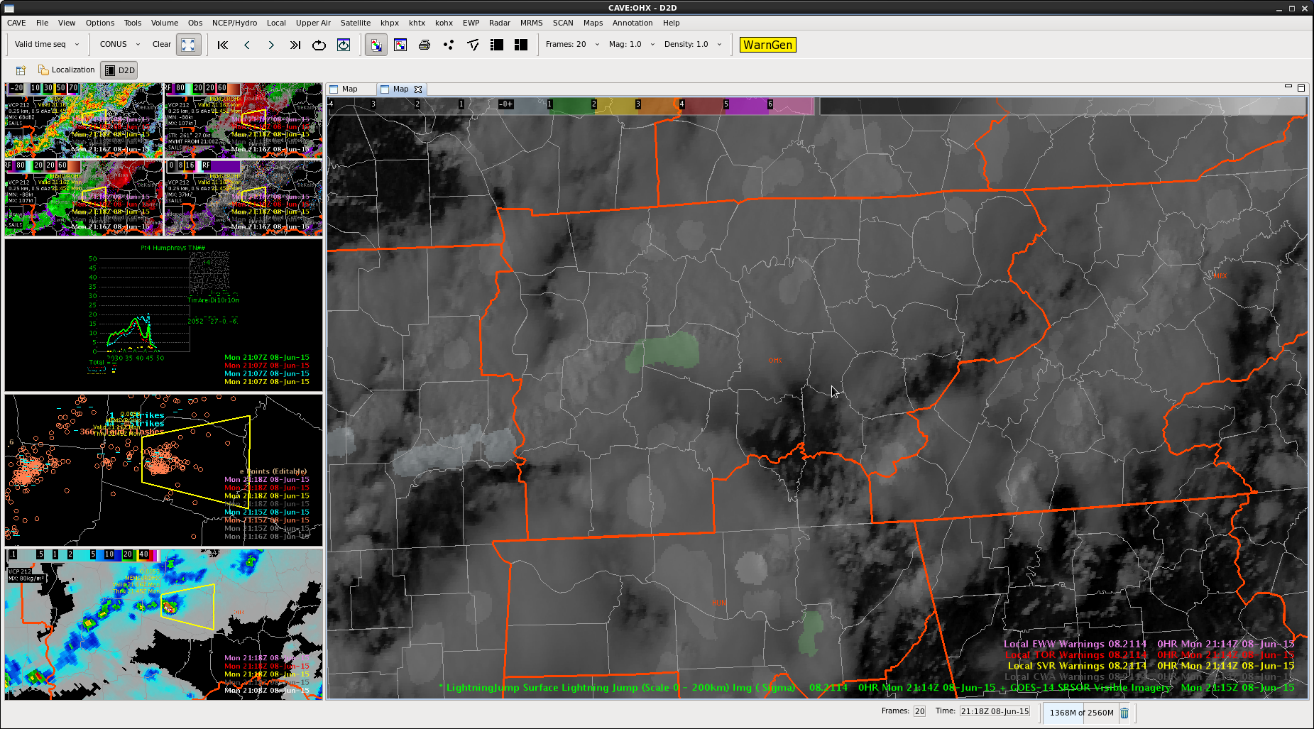 had a 2-sigma lightning jump

