

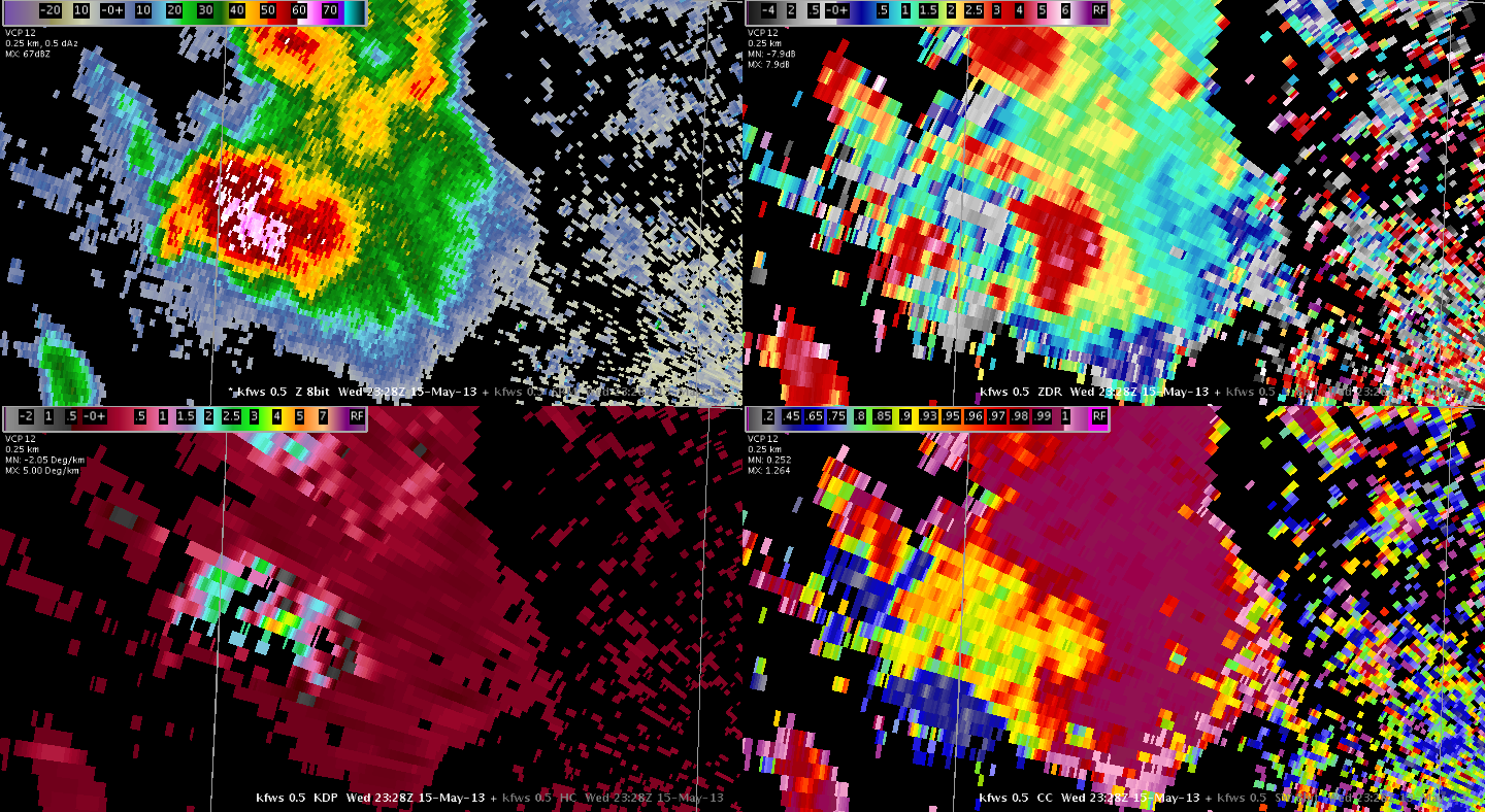
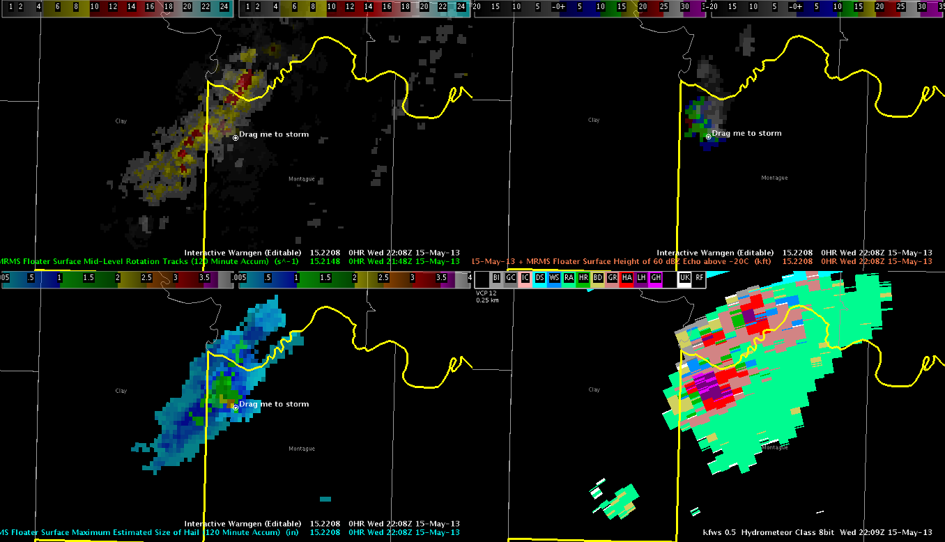
A quick look at how the HSDA performed around the time 4-4.5″ hail was being reported west of DFW…
Dual-pol base data showed very low ZDR / CC near the surface within the high Z core. Some elevated KDP in spots.
Note the large region of Giant Hail classifications. While the HSDA has been overdoing the region of GH class, this storm did have a sizeable swath of very large / giant hail.
Picca


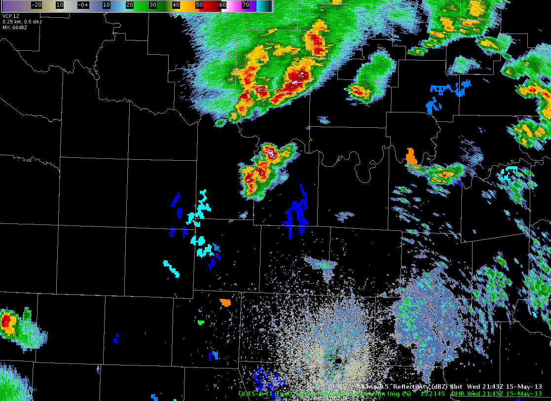
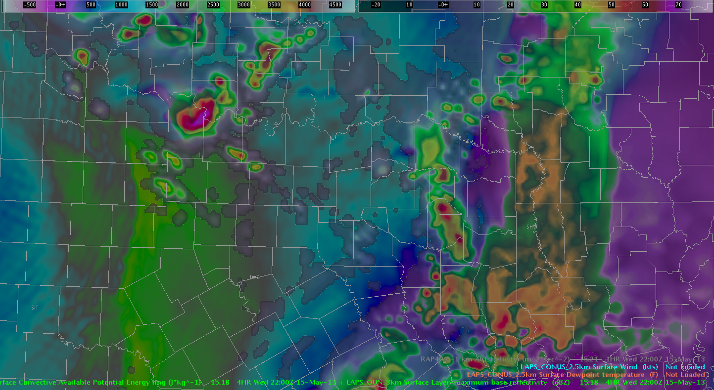
 Isolated thunderstorms have developed in the Vertical Theta-E Difference Low-Mid maximum, east of the dryline, across the north half of Texas, just west of I-35 around 23 UT.C This product may be a better indicator of moist convection east of the dryline then the dryline itself.
 The GOES CI product detected a 60% yellow area at 2045 UTC. By 2115 UTC, a thunderstorm had developed in this yellow area. This storm strengthened and prompted the issuance of a Severe Thunderstorm Warning by 2205 UTC. Baseball hail was reported by this storm at 2212 UTC, and a tornado was observed around 2242 UTC. The CI product gave about 20-30 minute lead time for storm development, 75-90 minute for severe weather, and nearly 120 minutes of lead time for the weak tornado.
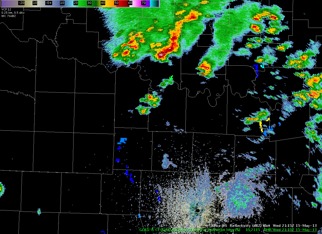

 The top image is CIRA/NSSL WRF Simulated IR while the bottom image is observed IR around 22 UTC. The simulated IR underestimated cloud cover over Oklahoma where a mid/upper low was centered. The convection over the Rockies in Colorado and New Mexico as well as cooler cloud tops over eastern Texas and Louisiana were handled well by the simulated IR. The convection near Lubbock, Texas was captured very well.