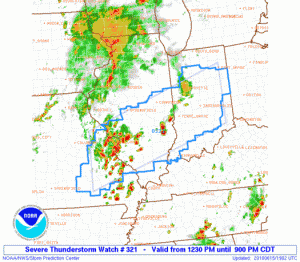
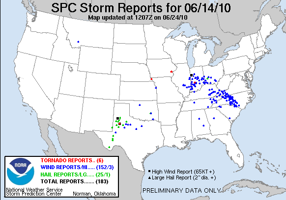
A severe weather episode is expected over our Washington DC Lightning Mapping Array (LMA) domain, so we will be operating in that area. An upper level trough and associated surface cold front over the central Appalachians, along with a tongue of very moist unstable air to the lee of the mountains are the primary ingredients for severe weather today. 0-6 km shear will exceed 30 kts over the domain, and increase to above 40 kts over central and northern Pennsylvania. 0-1 km shear will be adequate (20 kts), and CAPE will be in the 1000-2000 J/kg range. A lee trough has set up, and the first wave of severe thunderstorms is expected to affect our CWAs (Sterling VA – LWX, and State College PA – CTP) around 20 UTC, and should be through around 23-00 UTC. Unless severe weather is ongoing in two CWAs after dinner, we will break off two of the forecasters to do the 5/24/08 archive case, while the other two will remain issuing warnings and watching the GOES-R products. Otherwise, we will conduct the archive event on Thursday in an afternoon shift with two forecasters, and an evening shift with the other two forecasters.
Greg Stumpf (EWP Weekly Coordinator, 14-18 June 2010)


