MAF: Monster storms in Lea County, NM

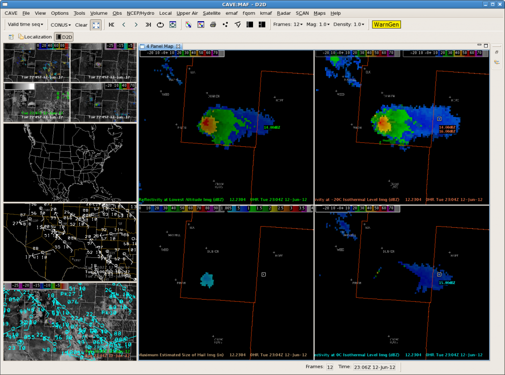
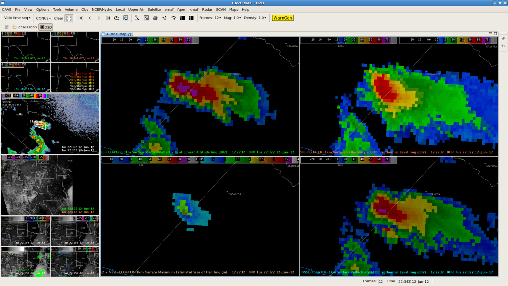
These images from MRMS should make it clear: these storms are twin terrors of terrible hail.

60 to 67 dBZ to -20C and max MESH values of 2.0 to 2.5 in. Gabe was showing us some nice storm chaser video feeds of the updraft. We put tennis ball size hail in the warning.

Update: Looked at 3DVAR fields for these storms and updraft just increased to 21 m/s with the western storm.  Strong inflow around 17 m/s seen by 1km 3DVAR winds too.

Trained spotter at 700pm reported golfball size hail.

0700 PM     HAIL             LOVINGTON               32.95N 103.35W
06/12/2012  M1.75 INCH       LEA                NM   TRAINED SPOTTER

SNELSON/SKOV

Tags: None

MAF: Very Heavy Rainfall – 88D legacy STP vs Q2

We blogged earlier about flooding likely in the storm on the Reeves/Pecos county line. The KMAF Storm Total Precip shows 4 to 5.5 inches of rain. This seems high for this area. You’d need 2.5 in/hr rain rates to get this, pretty hard with today’s precipitable water, even with high cape and Sfc dewpoints approaching 60F.

We looked at experimental Q2 from NSSL. Greg Stumpf pointed us to the SHSR VPR CORR. He can explain it better, but I believe it uses satellite data to improve radar estimates, especially when few radars are available. The 2300 UTC experimental Q2 with the correction is below.

The “vanilla” radar-only Q2 looks like this at 2300 UTC.

The Q2 is less than the STP, which is probably more accurate. The corrected Q2 looks a little higher than radar only Q2, but still more accurate than the 88D STP.

SNELSON/SKOV

Tags: None

New Warning SE NM…Still Watching for Additional Development in the East/Southeast…2320Z ABQ Update

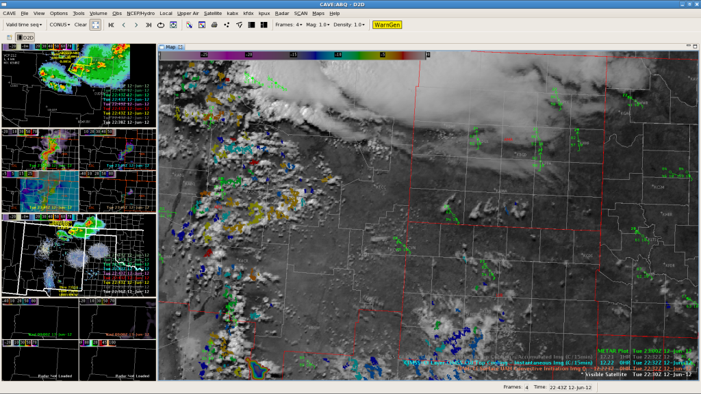
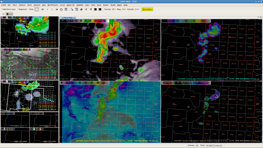
Based on latest satellite imagery and convective growth going on just east of the mountains east of ABQ…not ready to give up on OUNWRF depiction of storms increasing over eastern zones next 3 hours.   Surface temps in the middle 80s around KCVS have held back convective initiation over our east central and parts of our southeastern forecast area so far.

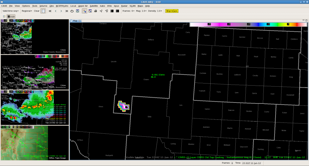
This just in to CNN…new warning on cell we were talking about over southern Chaves county!  Looks like the CTC was a good indicator in this case maybe.

Garmon/Dutter

Tags: None

SVR for NE New Mexico…Cloud Tops Still Growing East of ABQ…2250Z ABQ Update

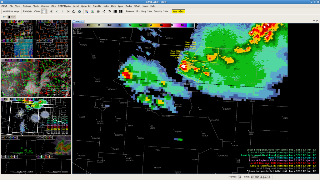
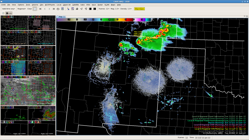
Current severe storm situation and warning polygons at 2230Z.  Cu field over and just east of the mountains east of ABQ are showing some enhancement with UAH CI values of 70 to 95.  May get initiation east of ABQ…but it appears the plains over eastern NM are still capped off to some degree judging from the visible imagery.

Watching the outflow off the stronger storms over NE NM to fire off new convection along the NM/TX border West of AMA next couple of hours as indicated by OUN WRF.

EWP Forecasters Garmon/Dutter

Tags: None

MAF: First warning! :)

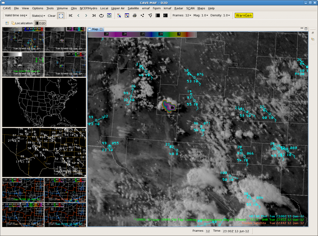
First warned storm of the day at MAF over Reeves/Pecos county line. This is on a psuedo-dryline where temps are in the 90s and dewpoints in the 50s with strong ESEly flow. MRMS showed this storm well with 62dBZ at -20C and 1.5 inch MESH.
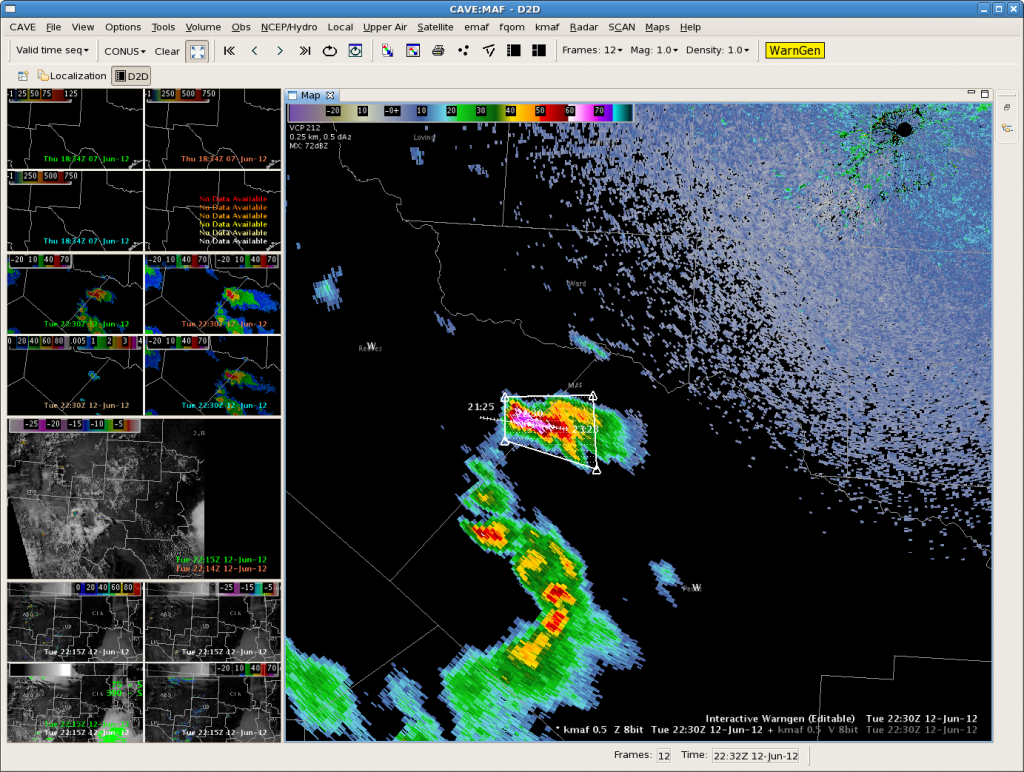
The CIMMS CTC product also showed significant cooling with this storm as it was developing. The 2215 UTC image overlaid with sfc obs and Vis satellite shows the boundary as well as the significant cloud top cooling (around -28C/15 minutes).
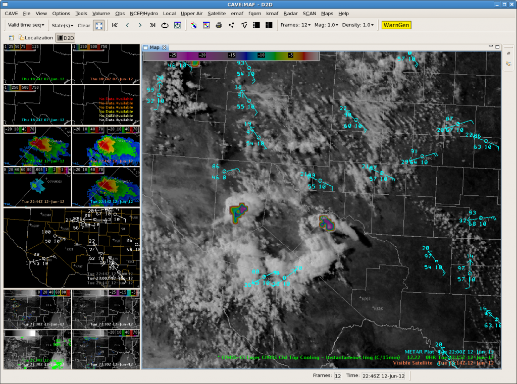
Also noticed a little earlier at 2115 UTC that Ft Stockton/Pecos co airport had 98F/56F with a 11017G24kt wind. The Pecos Municipal airport (KPEQ) had 100F/53F with a 08009kt wind. The CTC was just ramping up at that time with -8C/15min.
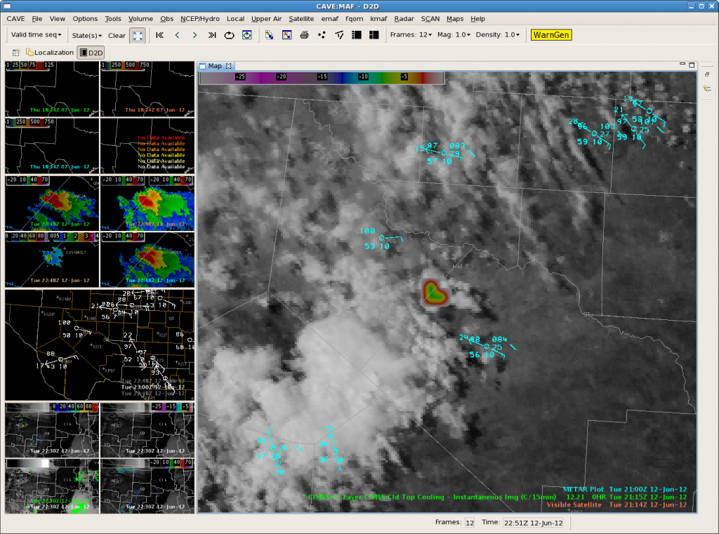
This storm is moving very little as new updrafts from on the western flank, but winds aloft are fairly weak this far south. If this storm persists for more than an hour, localized flash flooding could be a big issue.

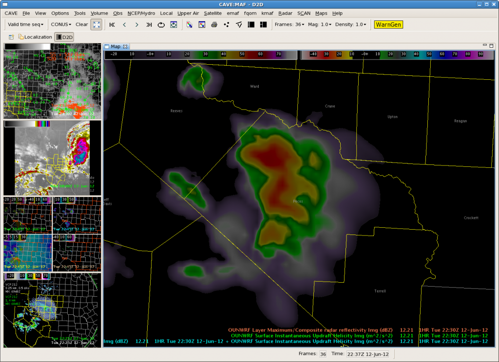
Randy noted that the 21Z OUNWRF forecast this cell pretty well. Previous runs of the OUNWRF did not show much deep convection this far south.
SNELSON/SKOV

Tags: None

Cloud Tops Increasing Across Parts of Central/Eastern NM…2205Z ABQ Update

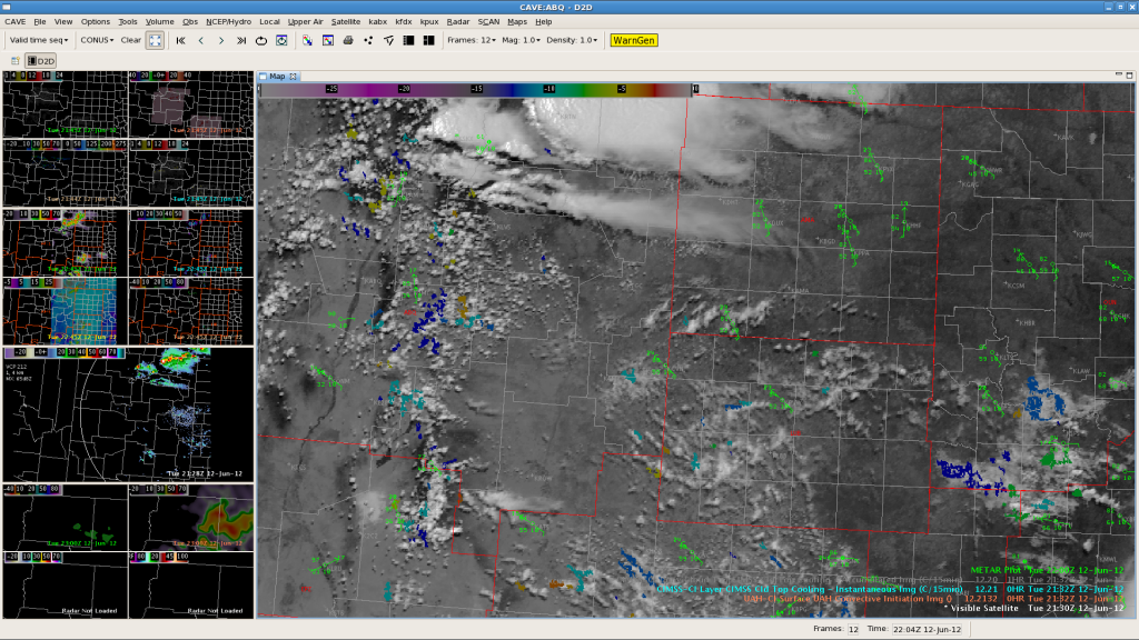
Starting to see values around 70 east of ABQ.  May get some convective initiation east of ABQ south of main area of convection now.  Visible shows Cu field growing east of ABQ and towards the TX Panhandle.  Can this be a hint that the development advertised by the OUN WRF just south of the current convective line over NE NM may pan out at little sooner than expected? Here is a look at the latest radar composite…

EWP Forecasters Garmon/Dutter

Tags: None