Scattered initiation in far west Texas

Placed beneath the left exit region of an approaching mid/upper jet from the SW, scattered storms evolved in a weakly sheared environment. Latest reflectivity scans reveal a few 60 dBz scans with strongest cores and MRMS MESH pointing to some small hail…still sub-severe. With SBCAPE already exceeding 1500 J/kg in many places, the overall hail and wind gust risk constantly increases during the following hours…however scattered initiation likely causes messy clustering of storms with decreasing diabatic heating. The focus for more severe storms will be east of the Midland area, when storms finally evolve in a stronger shear environment. We’ll look for current storms to send outflow boundaries to the east for initiation in SPC’s SLGT risk area next to forced initiation as the upper trough further approaches.

radar_MESH

Radar reflectivity with MESH atop.

Helge

Tags: None

A neat way to visualize OUNWRF parameters on one display

Gabe, the OUNWRF PI, showed us an interesting way to monitor a few model output fields simultaneously.  The display here includes the model derived radar reflectivity as a background image, with the green contours showing updraft helicity and the salmon contours the maximum hourly column hail.  The display here is consistent with the expected mode of convection over the next few hours…namely, pulse storms or multicell clusters.  With marginal bulk shear values, we aren’t expected a lot of deeply rotating storms, but there will be a large hail and/or damaging wind threat with some of the stronger cores.  I will continue to watch this display through the evening to see how it all pans out.

CL

OUNWRF_display_01413_1927

Tags: None

Convection Comparison Between OUNWRF/Actual Reflectivity across Beautiful W TX/SE NM

This is a image of the OUNWRF 16 UTC run 05/14/13 for 1845 UTC 1 km AGL Derived Radar Reflectivity compared to 0.5 Degree Reflectivity from KMAF at 1845 UTC.  They compared well with the OUNWRF doing a fine job with the location and storm mode (isolated cells/multicell clusters) near and just southwest of Midland.  The OUNWRF underestimated unorganized convection across SE NM.  Michael Scotten

Tags: None

EWP2013 Week #2 Welcome

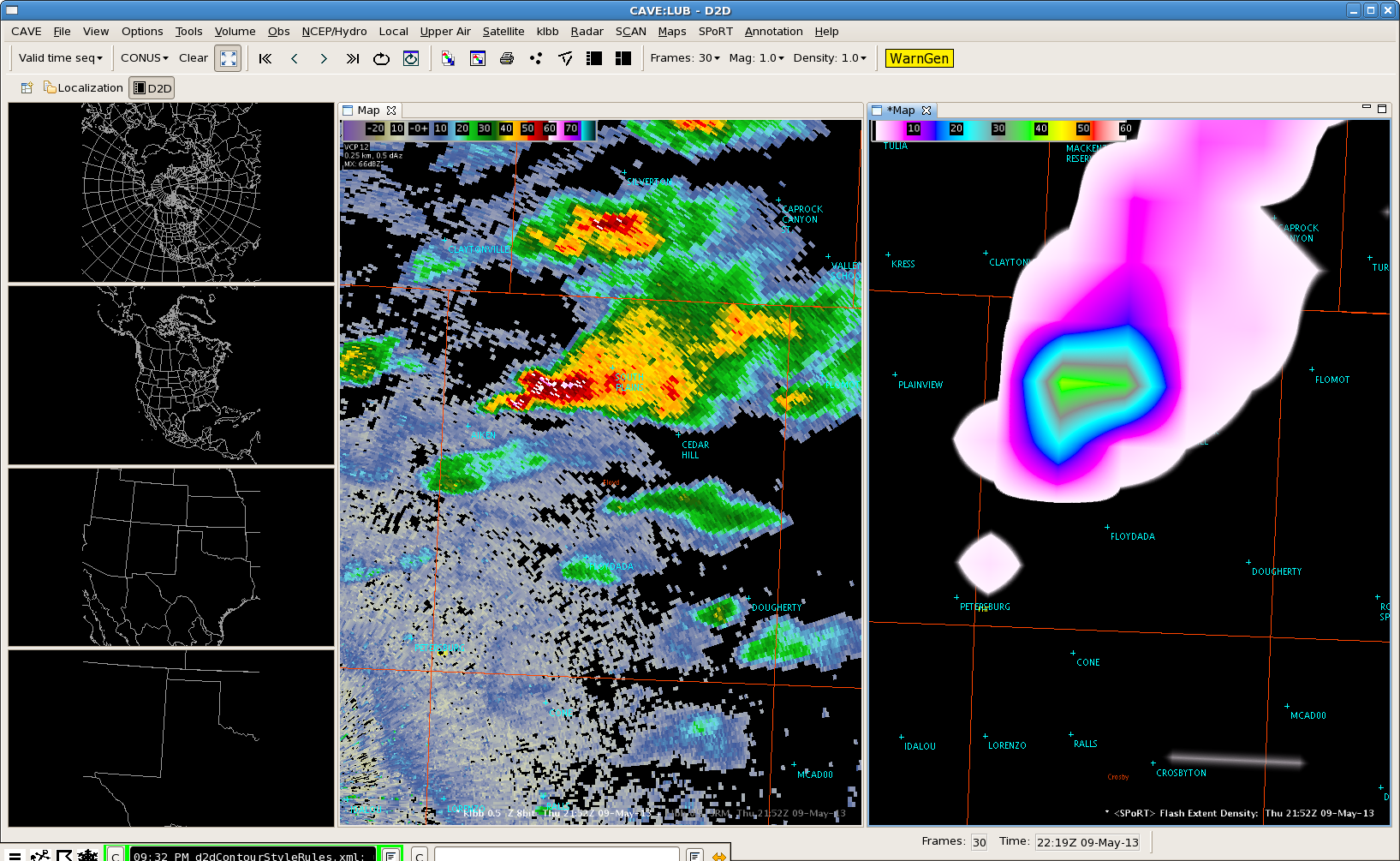
Monday 13 May 2013 begins the second week of our three-week spring experiment of the 2013 NSSL-NWS Experimental Warning Program (EWP2013) in the NOAA Hazardous Weather Testbed at the National Weather Center in Norman, OK.  There will be five primary projects geared toward WFO applications, 1) the development of “best practices” for using Multiple-Radar/Multiple-Sensor (MRMS) severe weather products in warning operations, 2) an evaluation of a dual-polarization Hail Size Discrimination Algorithm (HSDA), 3) an evaluation of model performance and forecast utility of the OUN WRF when operations are expected in the Southern Plains, 4) an evaluation of the Local Analysis Prediction System (LAPS) Space and Time Multiscale Analysis System (STMAS), and 5) an evaluation of multiple CONUS GOES-R convective applications, including pseudo-geostationary lightning mapper products when operations are expected within the Lightning Mapping Array domains (OK, w-TX, AL, DC, FL, se-TX, ne-CO).  We will also be coordinating with and evaluating the EFP’s probabilistic severe weather outlooks as guidance for our warning operations.  Operational activities will take place during the week Monday through Friday.

For the week of 13-17 May, our distinguished NWS guests will be Chris Leonardi (WFO Charleston, WV), Becca Mazur (WFO Cheyenne, WY), Ernie Ostuno (WFO Grand Rapids, MI), Joey Picca (WFO New York, NY), and Michael Scotten (WFO Norman, OK).  If you see any of these folks walking around the building with a “NOAA Spring Experiment” visitor tag, please welcome them!   The GOES-R program office, the NOAA Global Systems Divisions (GSD), and NWS WFO Huntsville’s Applications Integration Meteorologist (AIM) Program have generously provided travel stipends for our participants from NWS forecast offices nationwide.

Visiting scientists this week will include Jordan Gerth (Univ. Wisconsin), Wayne Feltz (Univ. Wisconsin), Hongli Jiang (NOAA/GSD), Amanda Terberg (NWS Air Weather Center GOES-R Liaison), and Helge Tuschy (Deutscher Wetterdienst (DWD), Leipzig, Germany).

Kristin Calhoun
will be the weekly coordinator.  Clark Payne (WDTB) will be our “Tales from the Testbed” Webinar facilitator. Our support team also includes Darrel Kingfield, Gabe Garfield, Travis Smith, Chris Karstens, Greg Stumpf, Kiel Ortega, Karen Cooper, Lans Rothfusz, Aaron Anderson, and David Andra.
Each Friday of the experiment (10 May, 17 May, 24 May), from 1200-1240pm CDT, the WDTB will be hosting a weekly Webinar called “Tales From the Testbed”.  These will be forecaster-led, and each forecaster will summarize their biggest takeaway from their week of participation in EWP2013.  The audience is for anyone with an interest in what we are doing to improve NWS severe weather warnings.  New for EWP2013, there will be pre-specified weekly topics.  This is meant to keep the material fresh for each subsequent week, and to maintain the audience participation levels throughout the experiment.  The weekly schedule:

Week 1:  GOES-R; pGLM

Week 2:  MRMS, HSDA

Week 3:  EFP outlooks, OUN WRF, LAPS

One final post-experiment Webinar will be delivered to the National Weather Association and the Research and Innovation Transition Team (RITT) in June.  This Webinar will be a combined effort of both sides of the Hazardous Weather Testbed (EFP and EWP).

Here are several links of interest:

You can learn more about the EWP here:

http://hwt.nssl.noaa.gov/ewp/

NOAA employees can access the internal EWP2013 page with their LDAP credentials.

https://secure.nssl.noaa.gov/projects/ewp2013/

Stay tuned on the blog for more information, daily outlooks and summaries, live blogging, and end-of-week summaries!

Greg Stumpf, CIMMS/NWS-MDL, EWP2013 Operations Coordinator

Tags: None

Forecaster Thoughts – Andy Hatzos (2013 Week 1)

Andy wrote a very detailed and illustrated summary of his visit to the EWP.  It is available here:

ftp://24.172.201.242/ewp_review_hatzos.pdf

Aside from the above, he added a few more quick items:

1) I struggled a bit on the mesoscale desk, and a part of that was finding that my data-heavy AWIPS I procedures (which work fine here) were almost unloadable on AWIPS II. Because of that, I had to simplify and rebuild a bunch of things on the fly. For next year’s experiment, it may be worth asking participants to create their procedures in advance on an AWIPS II system (ADAM) before sending them on to Oklahoma. That way, they could know for sure that what they’re sending works alright on AWIPS II.

2) The GOES RGB Airmass product sort of seemed to get forgotten about to an extent. I don’t recall seeing it in the training presentations (though we had a WES case on it) and it wasn’t emphasized heavily at the EWP. I’d love to see this covered a bit more next year, on the same level as some of the other GOES-R Proving Ground products. The RGB Airmass is admittedly difficult to interpret, but rather interesting to try to use, once you get an idea of what you’re looking for. I definitely think it’s worth a closer look.

Finally, I just wanted to say thanks again for the invitation to attend. I really enjoyed the week and I hope I was able to help make some progress toward everything the EWP was working for.

Andy Hatzos
General Forecaster
NWS Wilmington OH
2013 Week 2 Evaluator

Tags: None

Forecaster Thoughts – Jonathan Guseman (2013 Week 1)

Here is what I took away from the experiment last week.

Out of the MRMS products, the Maximum Estimated Size of Hail (MESH) one was the most useful since many of the storms we evaluated were primarily hailers. It did underestimate hail size by around 0.50 inches some of the time, especially within colder airmasses (e.g. the cutoff low that lingered across the eastern CONUS early last week). However, it did prove to be effective most of the time across the plains. Plotting the 30, 60, or 120 minute accumulated MESH was nice in extrapolating the storm’s track and subsequently finessing the extent of a warning polygon. Several other products were also useful, including the height of 50 or 60 dBZ cores above the 0 or -20C level as well as isothermal reflectivity products.

POD was very high, but FAR was also high when evaluating the HSDA. The spatial extent of giant hail was overdone at times, but a hail event was rarely if ever missed.
The OUN WRF showed utility in forecasting convective initiation in the short term, but it missed Wednesday’s event as it forecast a complex to develop near the Red River Valley. Switching to the RAP for initial conditions will likely be a benefit for the model. The variational LAPS analysis was useful in the 0-3 hour forecast timeframe, providing 15 minute forecasts in the short term. Lower resolution extended guidance was also available but not used as much.

Lightning jumps using total lightning data were evaluated with the Flash Extent Density product. The 8 km resolution is pretty coarse for evaluating discrete areas, but the product does give a good general idea of where to focus. The idea of drawing a polygon to evaluate a specific area for total lightning data will benefit the Total Lightning Trending tool. Simulated IR and WV imagery look very similar to real-time data and are very useful in getting a feel for convective evolution throughout the day. They do underdo the spatial extent of features, such as MCCs, quite a bit, but the idea is certainly there. Fields like convective instability and PWAT difference using the Nearcast product can be evaluated to aid in short term convective forecasting. The UAHCI product can be sporadic at times showing low probabilities of CI where flat cumulus fields exist, but the larger values usually do well, especially along boundaries (i.e. dryline). Cloud top cooling via the UWCTC product is also very helpful in diagnosing storms capable of becoming severe. Values of -20C/15 min of cooling have shown to provide extended lead times, sometimes on the order of one hour. Both the UAHCI and UWCTC products do suffer from cirrus contamination. They both suffered on one shift when convection was ongoing early, but they were very helpful prior to CI where skies were mostly clear.

Thanks again for the opportunity to participate and hopefully I’ll see you in upcoming experiments!

Jonathan Guseman
General Forecaster
NWS Lubbock, TX
2013 Week 1 Evaluator

Tags: None

Warning issued with only pGLM Lightning Jump

At 2226z a storm in the LUB CWA had 1 flash on the pGLM and 10 minutes later the number was up to near 40 flashes.

PGLMhit1

An experimental warning was issued based only on this and without any other data. About 5 minutes post warning, the HSDA algorithm hit for large hail.

Purple Color is large hail

Several minutes later the MESH hit at 1.02″

pglmhit4

The pGLM was the first hit of possible severe weather and gave 5-10 minutes more lead time to when the MRMS products hit for severe hail.

Hampshire

Tags: None

MRMS Products Confirm Extreme Hail

A supercell thunderstorm developed north of San Angelo TX at about 2030Z, and became severe as it moved east. After the storm made a hard right turn and began moving southeast, it grew to an extreme level of intensity, especially with regard to hail potential.

DYX radar showing an intense TBSS signature at 2137Z.

About a half hour later, t he storm continued to strengthen, now showing a TBSS with > 30 dBZ and a 70 dbZ core that extended to over 25k feet.

DYX 0.5 degree reflectivity at 2210Z, showing an intense TBSS signature.

The HC product showed giant hail at numerous slices throughout this period of very high storm intensity. Here are examples from the 2210Z volume scan.

DYX HC at 0.5 degrees (2210Z).
DYX HC at 1.8 degrees (2210Z).
DYX HC at 4.0 degrees (2210Z).

At the time of these images, we received reports of baseball size hail, and numerous reports of golf ball size hail.

Here is a look at a plethora of MRMS products at 2210Z.

MRMS at 2210Z (part 1).

MRMS at 2210Z (part 1).
MRMS at 2210Z (part 2).

MESH showed a maximum hail size of over 2.75″ in this image (and actually peaked at over 3″ near the same time). This is in the top left of the first MRMS image.

POSH (which is directly proportional to MESH) reached values of 100% when MESH indicated about 2.5″ or greater. This is in the top left of the second MRMS image.

Reflectivity at -20 degrees C (top right in the second MRMS image) is over 70 dBZ. The 60 dBZ echo reached over 20k feet above the freezing level (bottom left in the second MRMS image). Vertically Integrated Ice (bottom right of the second MRMS image) is over 50 kg/m2, too high for the default color scale.

This data helped provide forecaster confidence in the fact that hail was extremely large in this particular supercell.

–Hatzos

Tags: None

PGLM Flash Extent Density Helps with tracking Storm Intensification

We finally had storms develop within the West Texas LMA.  The strongest updraft this evening showed marked ramp up of flashes to 40 just as the storms 50 dBZ core reached 26.25 kft briefly before coming back down about 10 minutes later with the flash density also subsiding back to 15 to 25 flashes. Although the storm didn’t reach severe criteria, it was beneficial that the Flash Extent Density updates in 1 minute intervals, which lets the warning forecaster monitor for rapid updraft development between radar volume scans.  This storm resulted in a report of dime size hail.

0.5 reflectivity and Flash Extent Density

Kurtz

Tags: None