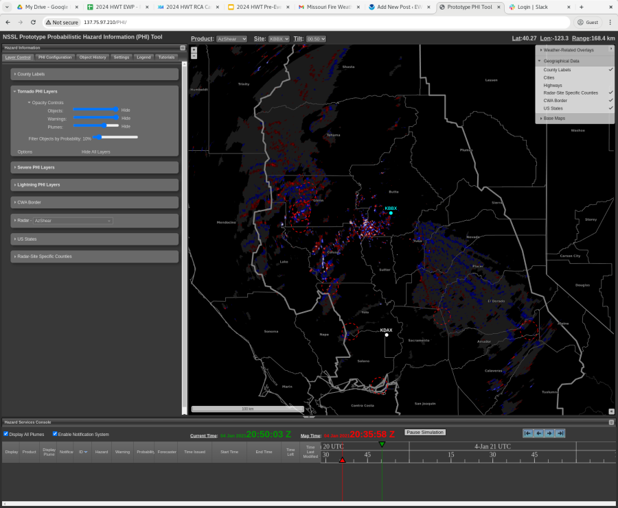
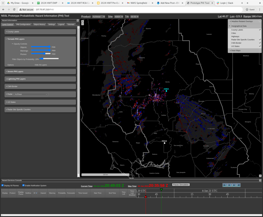
Noting that the aggressive TORP filter is filtering out numerous TORP objects that don’t appear to need them. -Sidney Crosby


Noting that the aggressive TORP filter is filtering out numerous TORP objects that don’t appear to need them. -Sidney Crosby
I grabbed these two DivShear/AzShear plots and trend graphs from the PAR to show how they aided my warning decision and result in 10 extra minutes of lead time. While the plots are from right around the time of the first tornado report, and a sharp increase is noted in each field, it was actually the earlier increase just before 0025z that nudge me to issue a warning. The velocity fields also showed increasing storm inflow (not pictured), so this combined with these AzShear/DivShear trends resulted in increased lead time on a tornado warning. 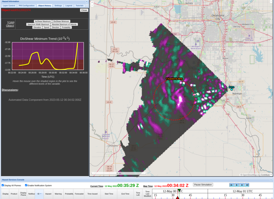
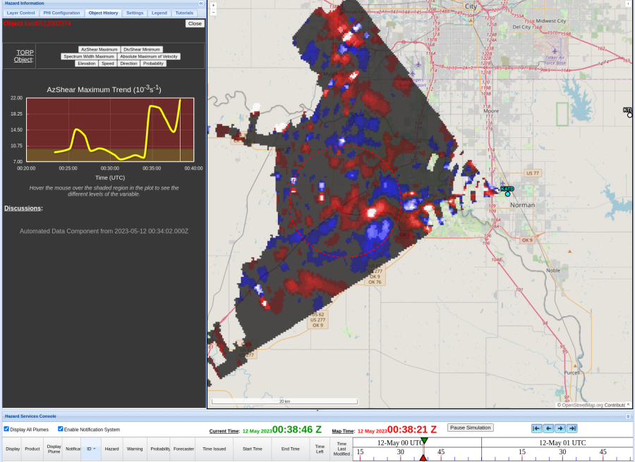
Here is a later example of a clearly tornadic DivShear signature in the PAR data: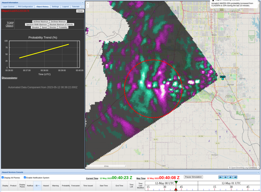
-Orange Lightning

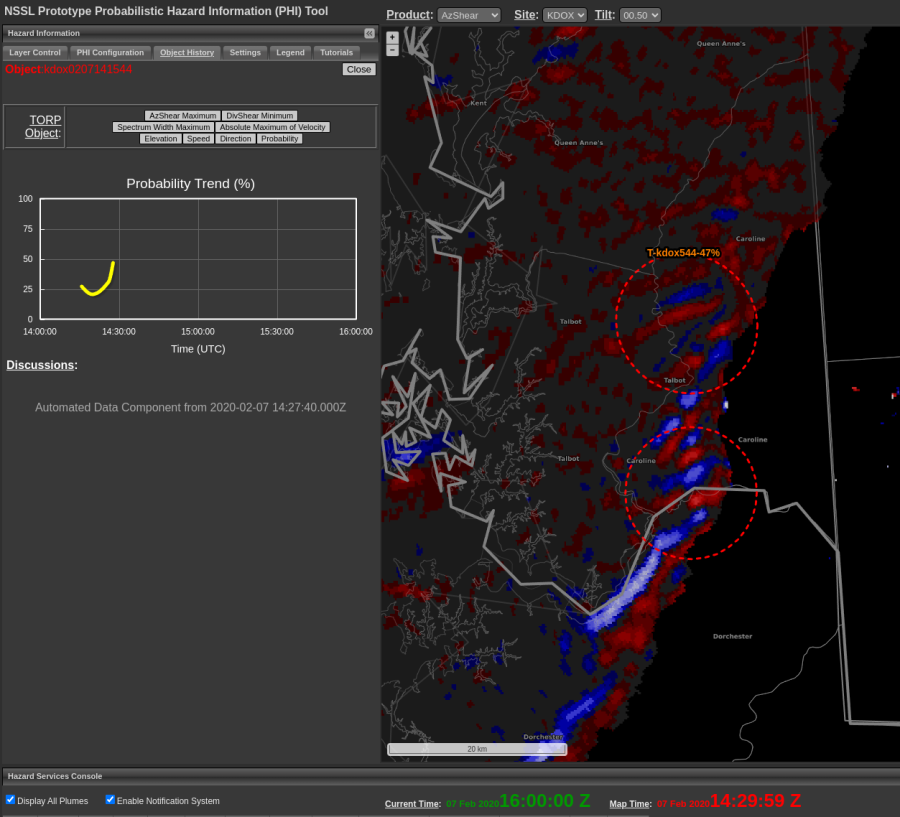
Interesting output from AzShear/TORP along leading edge of advancing QLCS. Environmental analysis (and velocity pattern) would indicate some stability of the boundary layer. Yet, TORP initiated two objects (>40%) near this feature with very little concern in viewing base data analysis. -QLCS
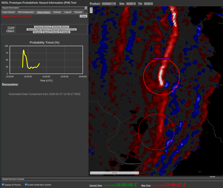
As has been noted, TORP lead time is nearly non-existent when it comes to QLCS events. This is especially true when applying a threshold filter >40-50%. However, in this case and others assessed so far this week, FAR with TORP is relatively low for even these marginal/transient cases. The example above displays nearly zero lead time to confirmed event (~1244 UTC), though would be eye-catching should a TOR warning not yet be in place. -QLCS

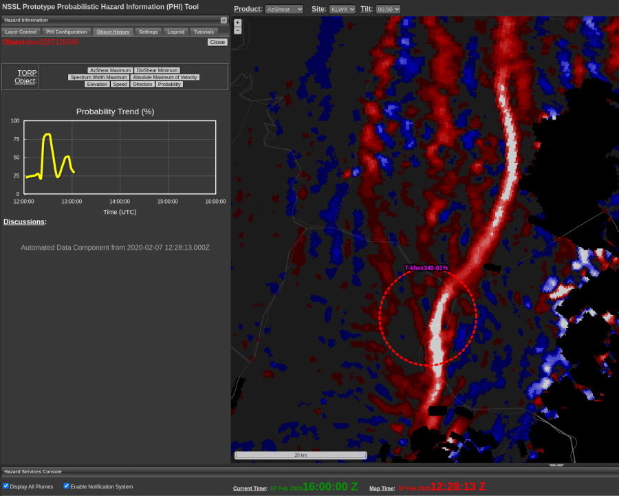
Despite the known limitations/DA issues with AzShear as lines/convergence zones move orthogonal to radar radials, TORP was able to correctly identify (with high confidence) a tornadic signature near the RDA. -QLCS