

Thunderstorms initiated over the Colorado Plateau, west of the City of Albuquerque, and over the Sangre de Cristo Mountains early in the afternoon on Wednesday, June 4, 2025. Afternoon mesoanalysis showed instability of 1-2k J/kg and very steep mid-level lapse rates across the CWA. Effective shear of 40-45kts was present east of the Colorado Plateau. Supercell composite was low. The storm motion was roughly southwest-northeast as a shortwave trough moved across the four corners region.
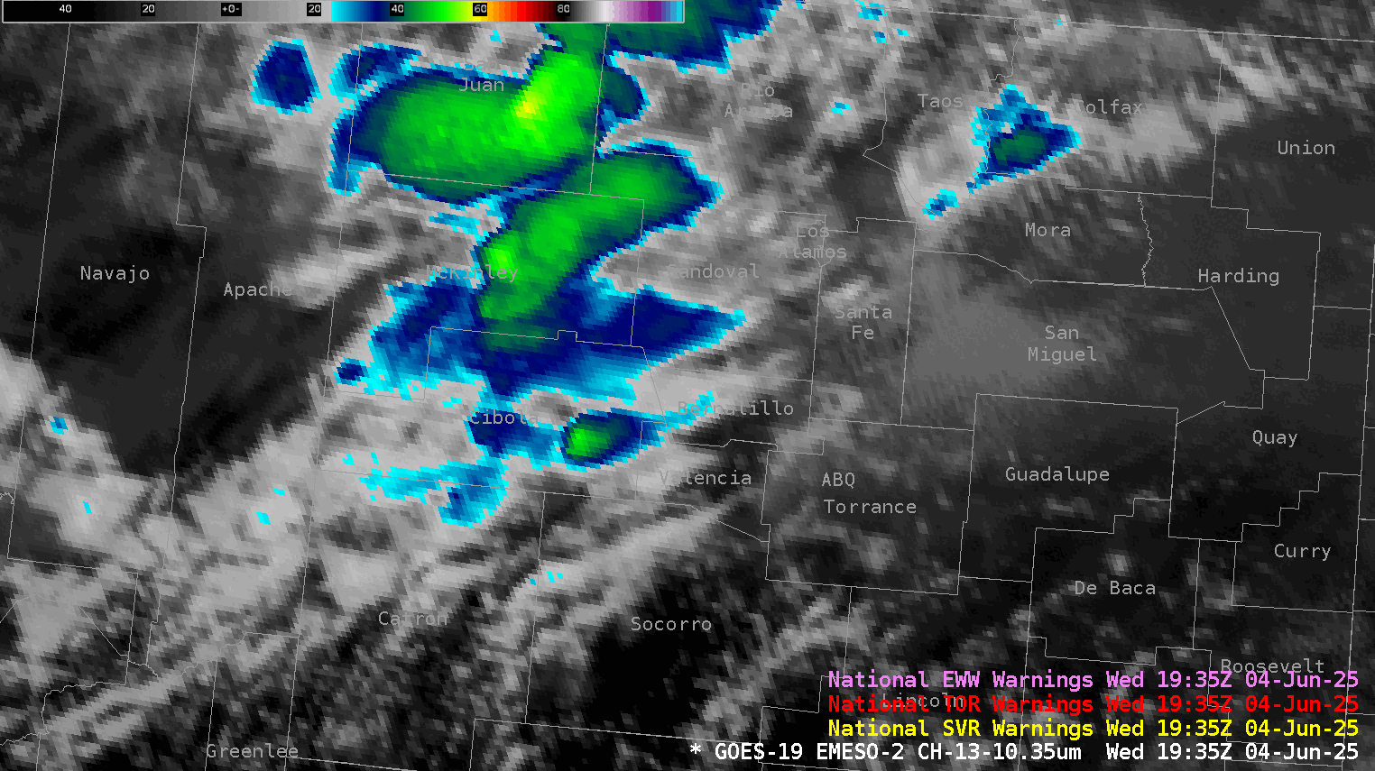
Our warning team did not have any radar data, including the Albuquerque radar as well as MRMS data. This made satellite imagery and lightning data imperative tools in the warning decision process. Thankfully, a mesoscale sector was across the region for the duration of the event. The first storm of concern developed southwest of the City of Albuquerque just before 20Z on June 4, 2025.
I used GREMLIN EMeso-2 and ECONUS as an alternative to radar and MRMS data in the Albuquerque, NM CWA on Day3 of the HWT. Below is a 4-Panel of Gremlin highlighting the storm southwest of ABQ. This storm was alone and believed to have a tight reflectivity core. Personally, this is the greatest reflectivity core I have seen so far in the HWT this week. Reflectivity approached 55-60 DBZ and really caught my eye. GLM flashes were not as impressive as I would have thought, however ELNTN was jumping up during this time (not shown.)
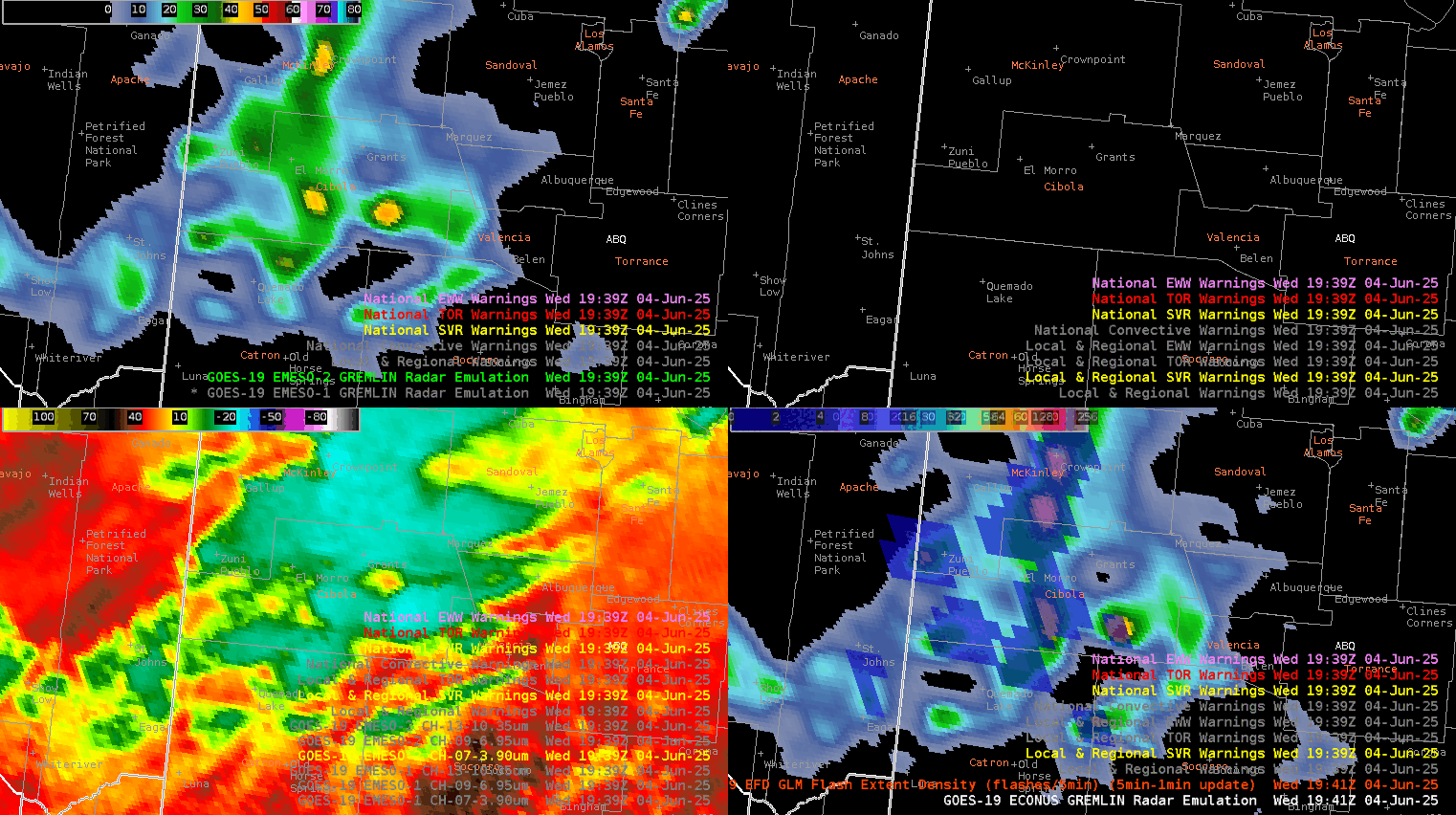
The OCTANE speed-compressed product showed a developing updraft with cooling cloud tops and an expanding anvil. There was a tight gradient on the west side of the storm showing good speed divergence. Also, another developing thunderstorm was starting to catch our eye northeast was also growing with good speed divergence.
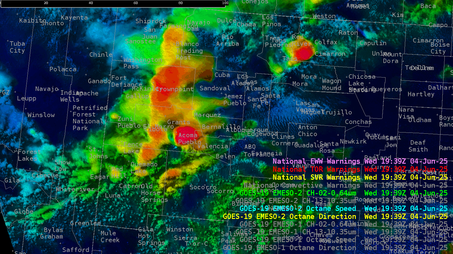
The combination of GREMLIN, OCTANE, CH-13 Clean IR, lightning, LightningCast (not shown) gave us confidence to issue the first severe thunderstorm warning of the day.
-Eagle