

This scenario began at WFO MPX with a broken line of strong thunderstorms approaching from the west. Many small-scale features were identified using OCTANE and radar trends, with focus on a DSS event ongoing “Fishing Derby” in Wright County, MS.
Doppler radar and Day Cloud Phase Distinction both illustrate new development ahead of the main activity to the west, ahead of an eastward surging outflow boundary. This led to the first DSS notification giving the event a heads up for >30mph winds and lightning in the next 1 to 2 hours. LightningCast was helpful showing probabilities increasing from the west.
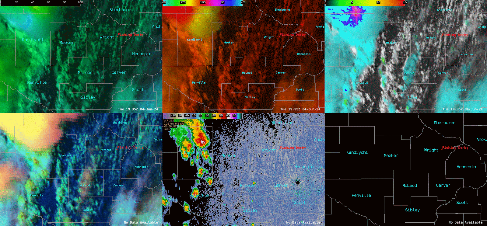
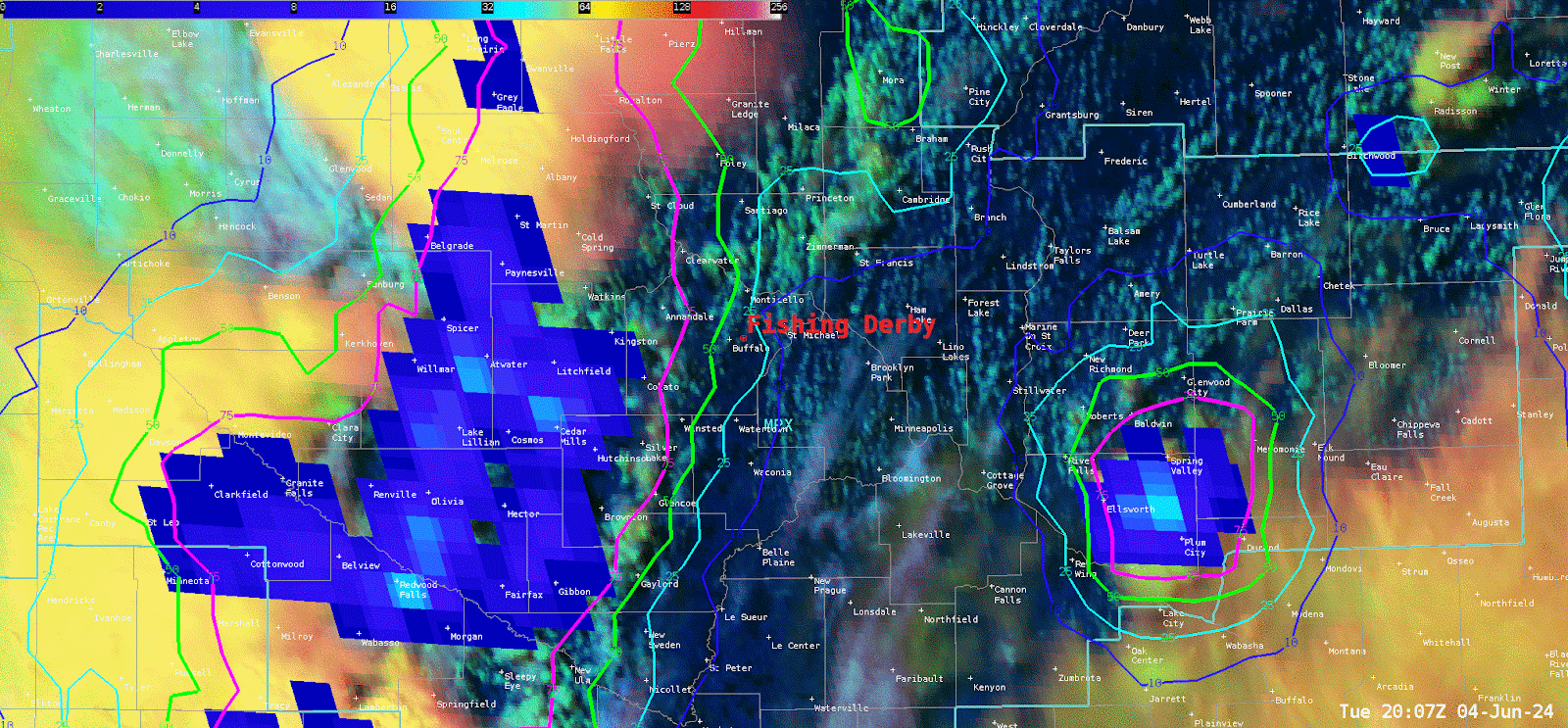
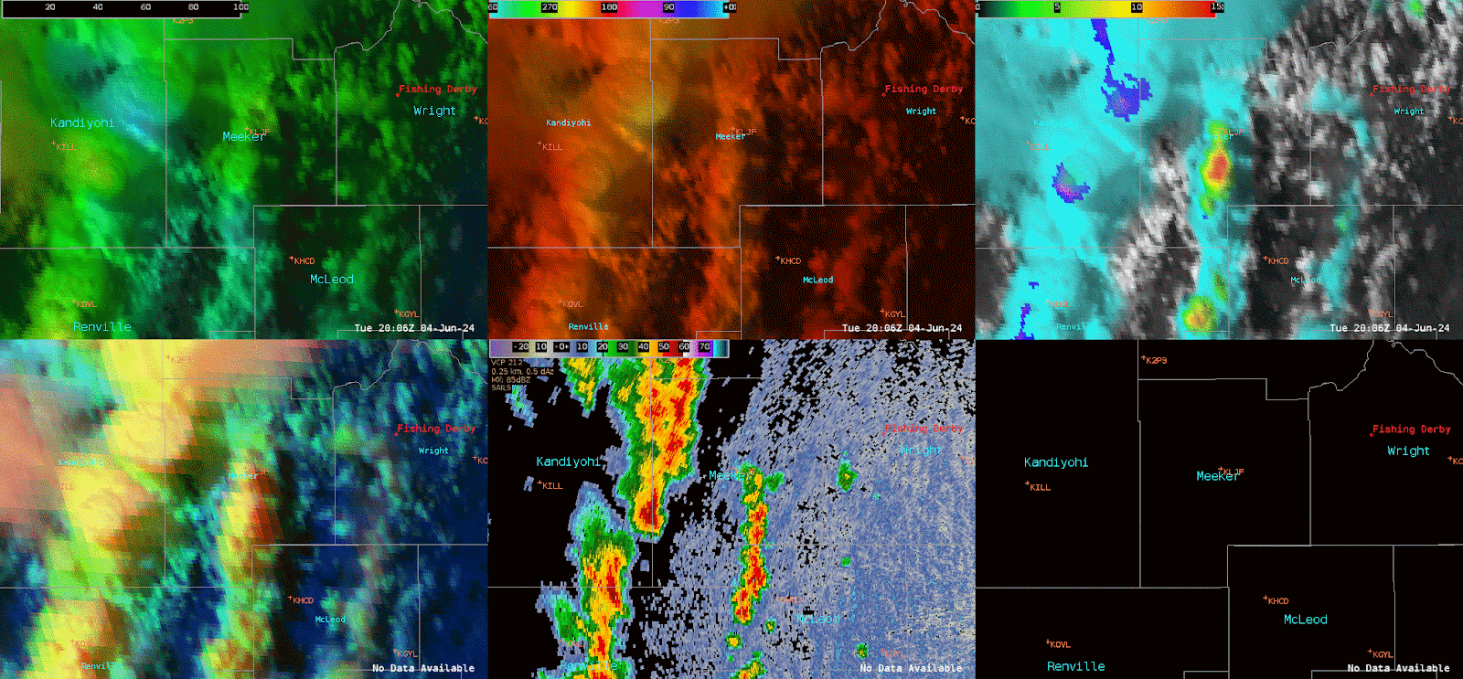
One specific updraft noticed around 20:00Z, with the decision for a warning to follow along with 40dbz around 40,000ft ARL. OCTANE products were specifically helpful, especially by modifying the colorbar settings for OCTANE Speed. Decreasing the MAX from 200 to 100 and increasing the MIN from 0 to 15 gave a greater contrast and “bullseye” to help diagnose strengthening divergence.
Several additional DSS notifications were sent to the site to alert them of not only the approaching activity, but how long the activity might last over the next following hour.
A TSTM Wind Dmg LSR followed with this storm that led to an injury.
LSR: *** 1 INJ *** Corrects previous tstm wnd dmg report from 7 N Hutchinson. Relayed report from sheriffs office of a shed with roof blown off and sides collapsed
Again, OCTANE gave great situational awareness to support alongside with radar to lead to proactive warning decision.
– RED11248