Day 1:
A NE-to-SW line of storms approaching the southern Texas/Louisiana border from the west with another W-to-E oriented line of scattered storms developing along a stationary front. The eastward moving storms starting to bow out with notch in the line starting to develop near the town of Starks, LA. Low-level rotation starting to show on SRV with a weak TDS showing up between 2115-2117Z and a stronger TDS at 2130Z. Radar starting to show what looks to be an embedded supercell within the line and several mesovortices beginning to develop just offshore along the southern half of the line.

2117Z
 |
| 2130Z |
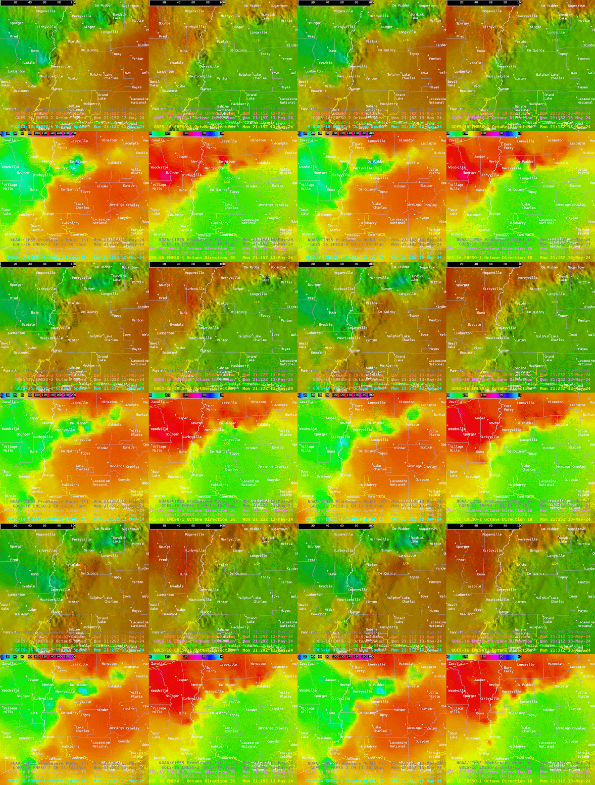
Leading up to the development of the tornado, the Octane speed product indicated a decent speed decrease on the upshear side of the storm before tornadogenesis. The Octane speed product also showed higher speeds wrapping slightly back to the west just to the north of the main updraft. The Octane direction product also showed an interesting appendage developing just to the east of the speed min at the same time.
As the storm cycled, and new updraft and meso developed, another speed min and direction changed was noted. The two products again showed higher speeds bending back to the west and the northern side of the updraft and another appendage developing on the direction product. While this storm did not produce a tornado, strong wind gusts of 55-60 mph and damage was reported.


