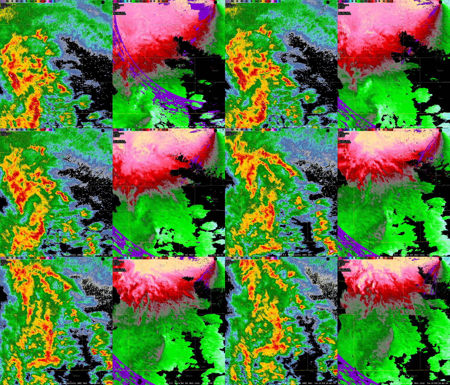
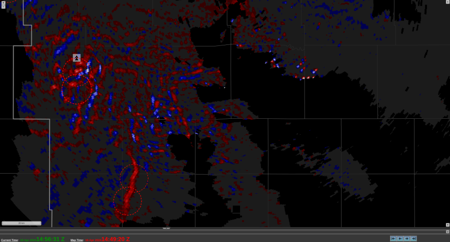
Our morning real time case has taken us to Iowa with an ongoing broken line of thunderstorms. While there have been a few signs of mesocyclonic development, I noticed a known issue with TORP object detection as a QLCS approached KDMX along the radial from the south southwest. While Az Shear was generally unimpressive with this line, the QLCS’s orientation with the radar caused a couple TORP objects to generate. While their probability values were low (near 30%), it still caught my eye as something to check out and then immediately write off after checking radar data. This hiccup wasn’t necessarily disruptive to my forecasting process, but was useful to know about before starting off today so I wouldn’t be confused when I see it.


-Wx Warlock

