
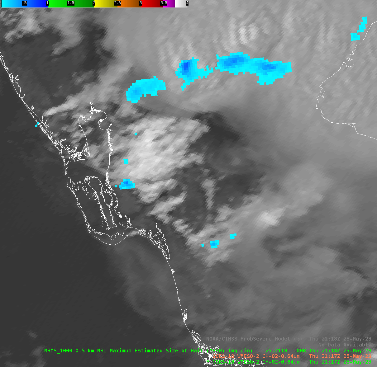
This animation shows the effects of parallax with the GOES-18 satellite imagery over the west coast of Florida. Overlaid on the GOES-18 visible product is MRMS Maximum Estimated Size of Hail (MESH). You can see MESH objects within the updrafts near the coast line while the associated anvils are well to the east (the displacement a product of the parallax). While GOES-18 wouldn’t likely be used operationally at an eastern location, it does show a potential operational use of MRMS and satellite display together, showing the characteristics of the thunderstorm visually with the estimated hail size derived by radar (among other MRMS calculations).
-Joaq