
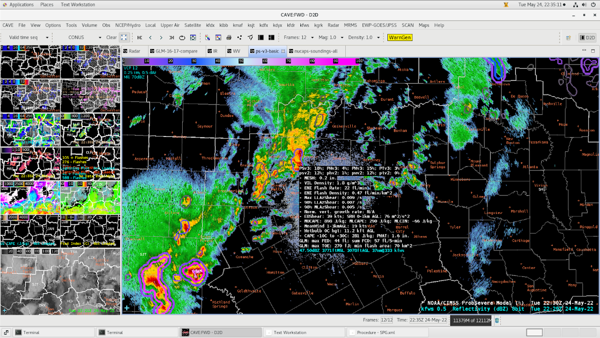
AWIPS radar display over Texas. Synopsis – An upper level storm system and a cold front will bring a chance of showers and thunderstorms this afternoon and evening over the Forth Worth, TX area. Some storms could be severe with damaging winds and hail. Activity should exit to the southeast late tonight or early Wednesday morning.

VIS: Storms initiating in the NM/TX border. Anticipating a line of storms to develop along western TX and pushing southeastward.

Infrared.

WV

DSS: Colonial Country Club – Charles Schwab Tournament – Forth Worth, TX


AWIPS radar display over Texas.

SPC Mesoanalysis: CAPE values of 2500+ J/kg, setting the stage for active convection this evening over much of TX.


SPC gives an enhanced risk of severe thunderstorms across parts of TX.

VIS @ 22Z: Storms maturing quite well in SJT.

Issued another DSS update about the likelihood of lightning passing over the property.

Polygon warning.
ProbSevere 3.
Vortex Power