
There was an occluded boundary north of the DMX radar where several mini-supercells developed. Environmental shear across the boundary may have enhanced the tornado potential similar to waterspouts developing along a sheared boundary. The first tornado report came quickly after the simulation began and was associated with a cell I certainly would not have warned on given the weak appearance on reflectivity and weak rotation.
azAhear was relatively weak for each rotating cell along the boundary and NTDA probs were peaking at about 20 to 30%. Although the probabilities from the NTDA were low, it did a surprisingly good job of only detecting the stronger rotations. By a *rough calculation*, if you had relied solely on the NTDA with a threshold of ~25% in areas > 10 miles from the radar you would have had a warning on every tornado with at least a few minutes of lead time. I think there would have been one or two false alarms but overall I think the NTDA did very well.
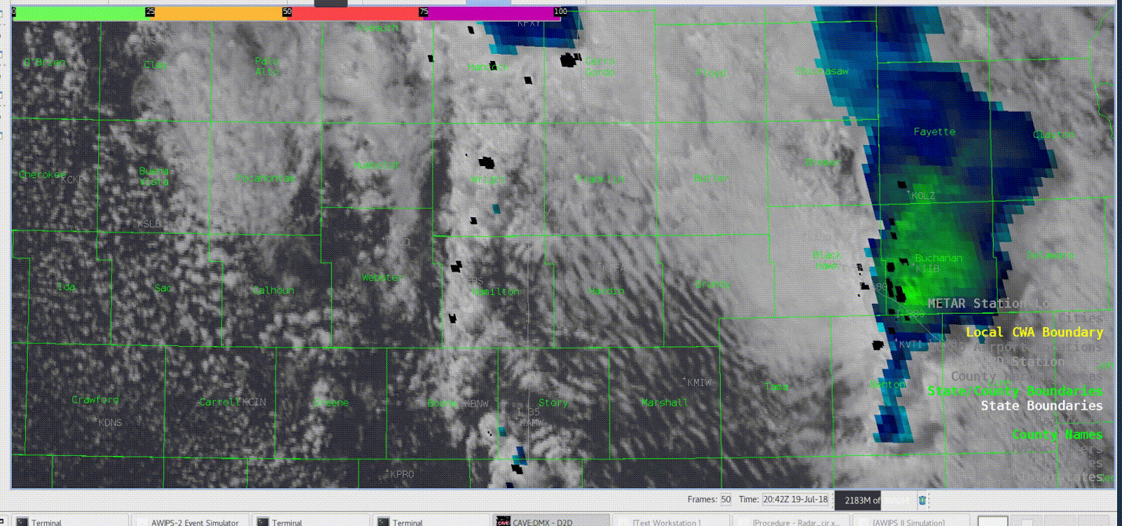
You may have been able to cut down on some of the FA by using GOES16. The IR/VIS sandwich RGB happened to do a very good job of showing the cells that produced a tornado. The cells where the IR cools below the threshold for display tended to be the ones that produced tornadoes along that boundary. The exception may have been the storm farthest north of the radar, in northern Wright County, where the cloud tops were cool but there was likely a stronger low level inversion with surface temps near 66°. I attached a loop of the sandwich RGB and NTDA detections to try to show that the NTDA and coolest cloud tops were closely related.
– Gerry Bertier