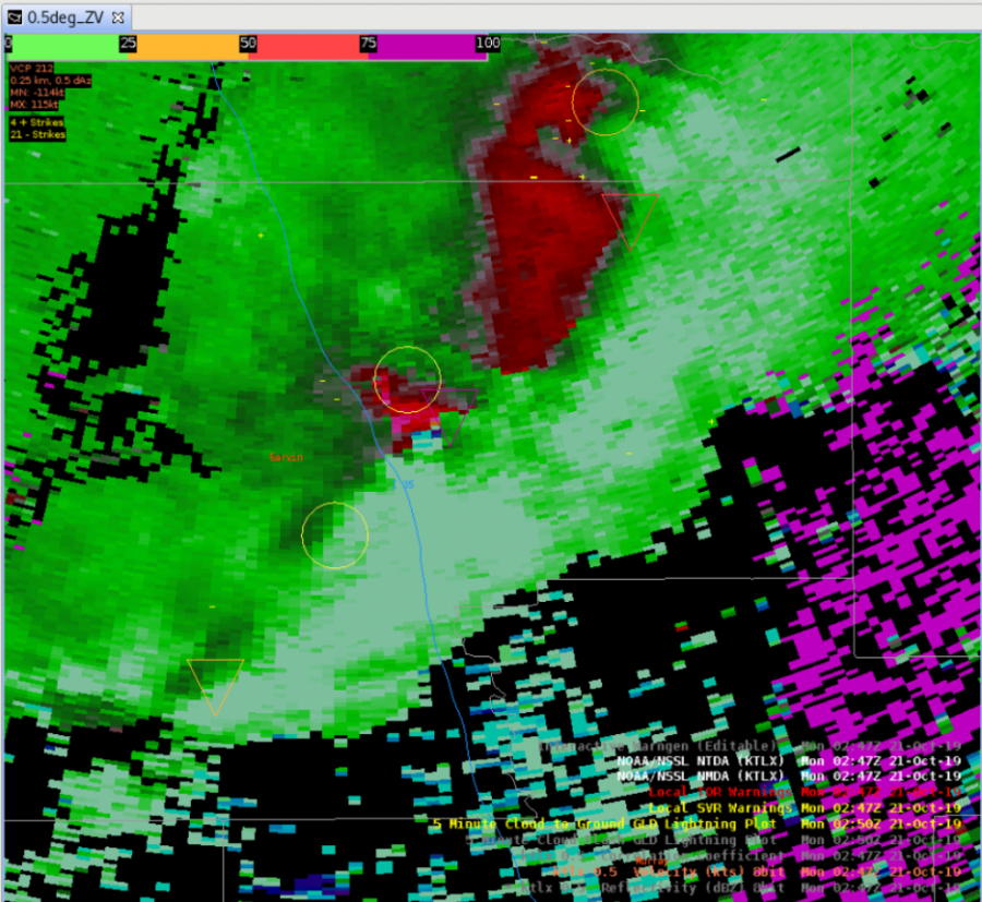
NTDA Jumping from Circulation to Shear Max

During the OUN case today we noticed that both the NMDA and NTDA would occasionally jump in location relative to where we thought that the actual tornadic circulation would be.

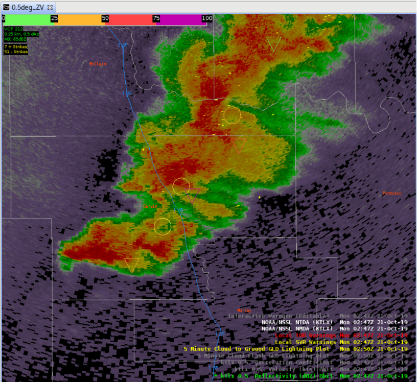
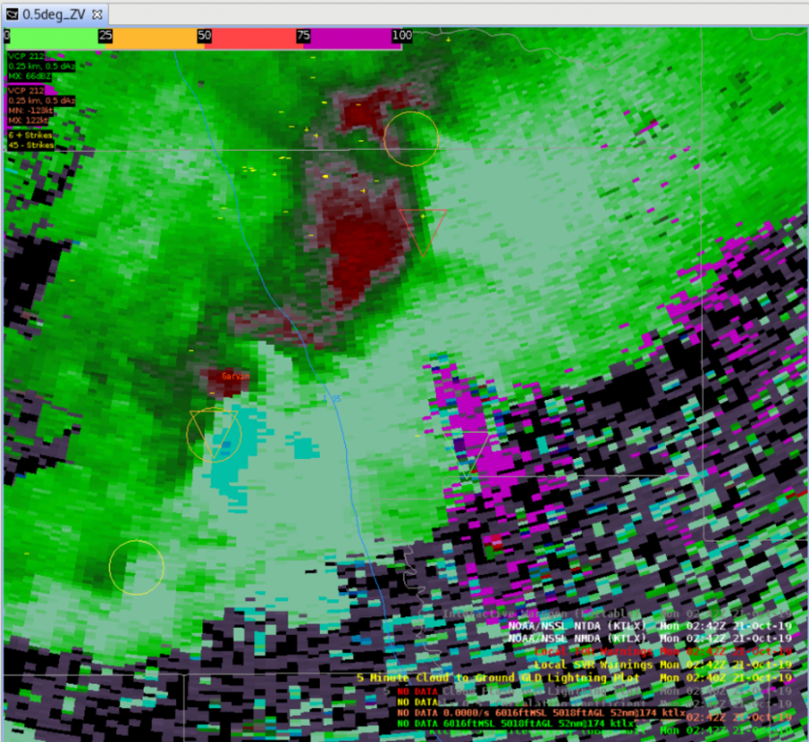
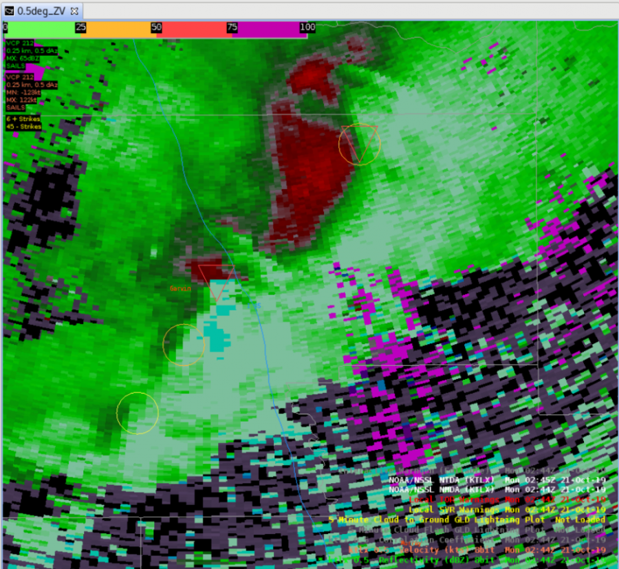
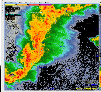
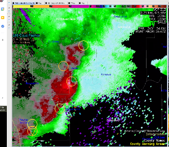
Beginning at roughly 300z there was a northeasterly surge in reflectivity along the deep sheare 0-6km axis.  In turn we noticed that a couplet had formed along the northern extent of that reflectivity surge.  The NMDA captured this couplet however the NTDA did not. However, this is the same area that the NTDA had been scanning with the id of 51 which was described by a different blog post highlighting the length of time in which the NTDA and NMDA were able to track features.  Interestingly enough, while the NTDA did not display at 300z, it did the scan before and the scan after with the same ID value.
 

         .

Example Z at 300z (left) and Storm Relative Velocity (right)

What was particularly interesting about this case is that we started to notice that the NMDA and NTDA would jump from what appeared to be the tornadic circulation to the leading edge of the reflectivity where the azimuthal shear was perhaps maximized.  The following video is a feature following zoom where the feature zoomed in on is the tornadic circulation in question.

spiff_jump_042021_1140_low

– Spaceman Spiff


Clear Air, Low-End TDA probs

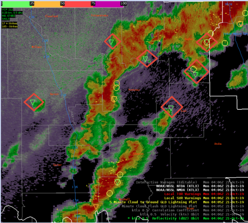
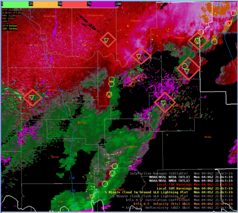
Around ~4Z, several NTDAs were being identified in areas of lowered reflectivity or where tornadic activity would not be generally expected. Causes looked to mostly be due to increased AzShear from noise, but at least probabilities remained small, below 20%

KTLX 04:06Z


– #ProtectAndDissipate

Algorithm Performance in QLCS transition

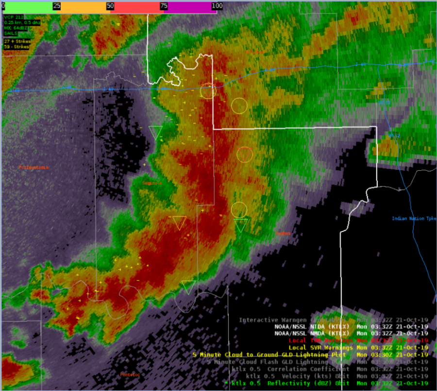
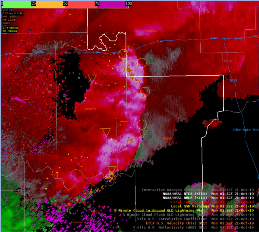
Both algorithms tagged onto the minor circulations within a developing QLCS pretty well with one or the other, or in several instances both, showing locations with increased vertical vorticity in areas that didn’t exhibit obvious bows or kinks in reflectivity. There was some noise and residual circulations in other parts of the storm, so there is room for detection improvement, but overall performance along the leading edge was okay.

Reflectivity at 03:32 KTLX


Velocity at 03:32 KTLX


– #ProtectAndDissipate

Time Durations for TDA & MDA

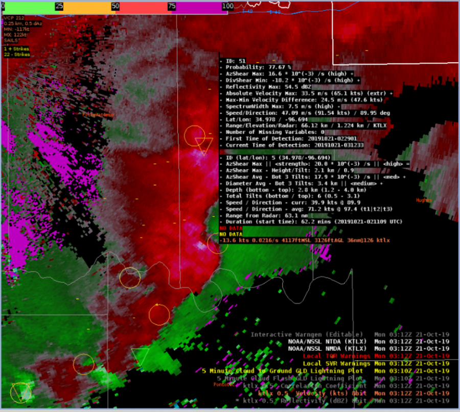
For a strong circulation that eventually became a tornadic in an occluding mesocyclone, the TDA and NDA did very well tracking the circulation in time. By 03:33Z (a time shown after the image below), the MDA had tracked the same circulation for ID 5 for over 82 minutes, and the TDA was able to track the storm for over 65 minutes. At times though the location of the MDA and TDA were a bit suspect


On a strong tornadic circulation, taken at 03:12Z


– #ProtectAndDissipate

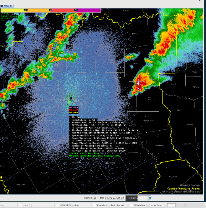
NTDA Showing Weak Chance for Tornadoes in Clutter

We noticed several instances during the archive case this morning that the NTDA would sometimes go off in what we would consider clutter. This could potentially cause issues for any offices that have scripts to audio alert forecasters.

Ex of a TDA in clutter just to the southwest of the RDA


– Spaceman Spiff