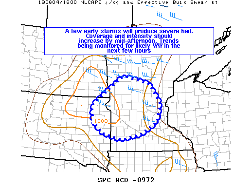
Today’s operations will be begin with their focus over the Twin Cities/Chanhassen (MPX) county warning area. Severe storms have already developed and are approaching the Twin Cities area from the northwest. The Storm Prediction Center current has a mesoscale discussion out for the area highlighting potential watch issuance within the next few hours with the main threat being damaging winds but large hail is also possible.

Other potential regions of operation include the low-country region of South Carolina, where there is currently a severe thunderstorm watch, and extreme west Texas into southern New Mexico. We’ll monitor the weather situations in these locations and adjust our operations area as needed.
