
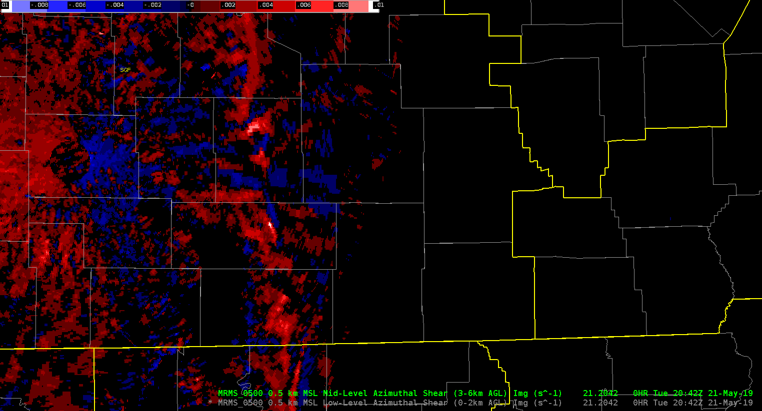
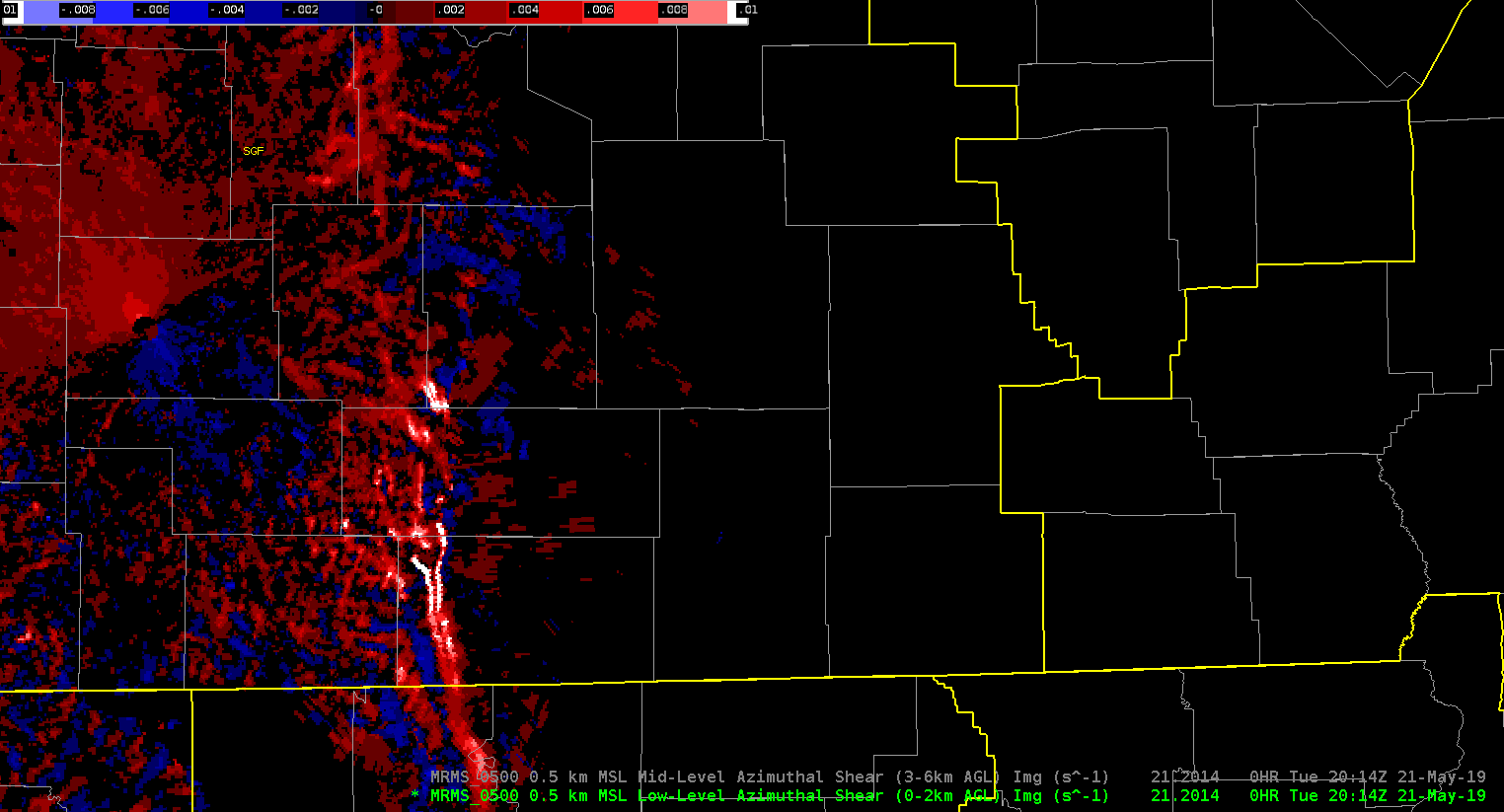
The mid level azimuthal shear product is doing a good job pinpointing the strongest updrafts along the line in southern Missouri, while the low level azimuthal shear product shows a lot of elongated shear zones, which one would expect. One issue i noticed is the low level azimuthal shear product seems to leave certain features in place over a period of several minutes while at the same time propagating these features downstream, thus resulting in the same feature being plotted twice in two different places. See the loop at the bottom for an example
-64BoggsLites