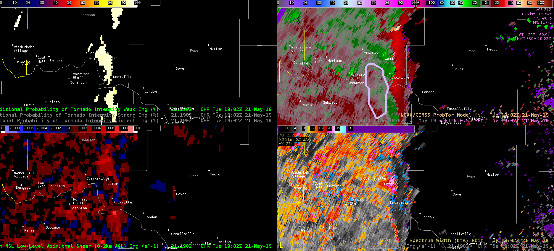
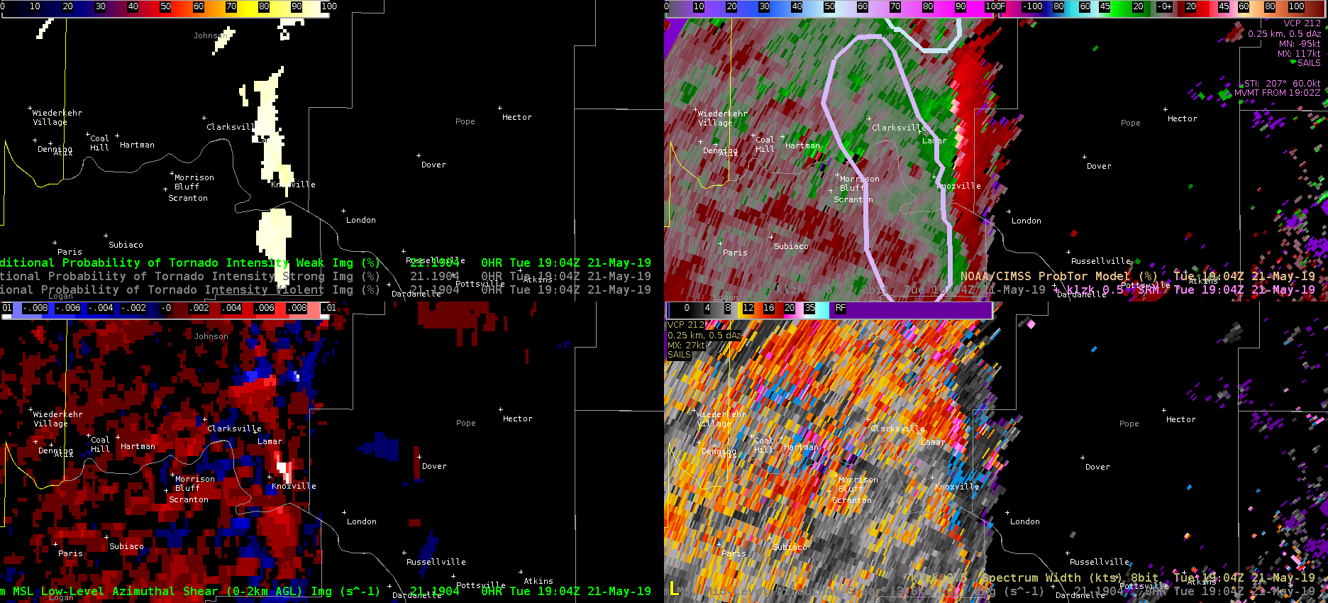
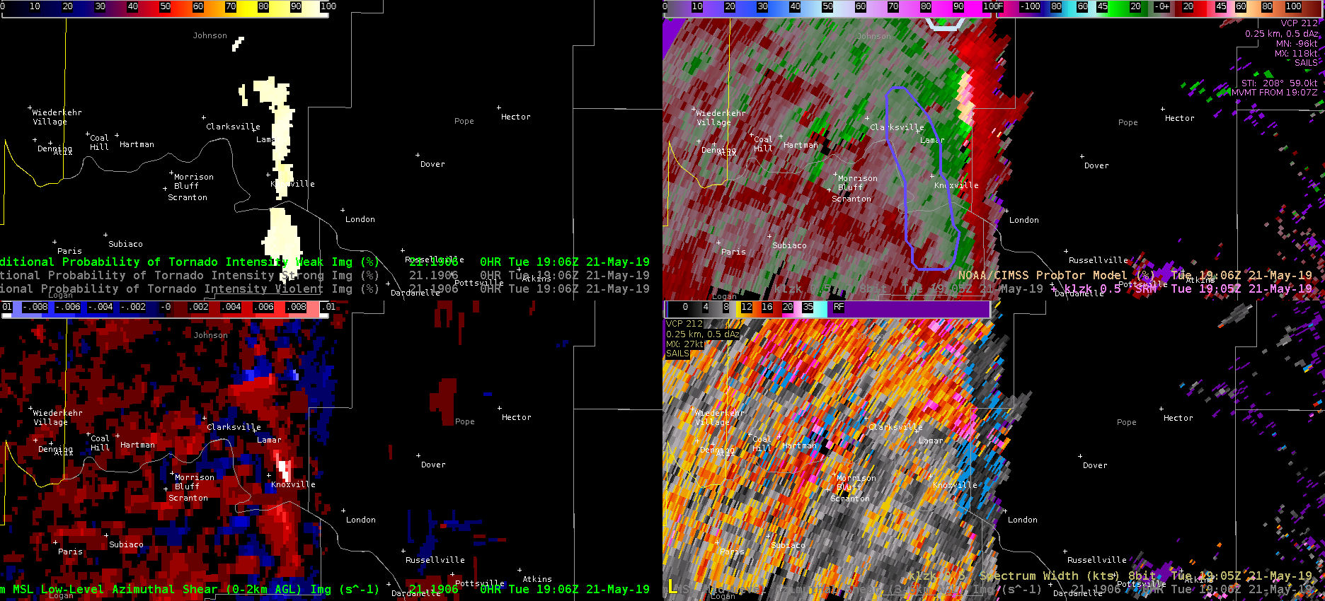
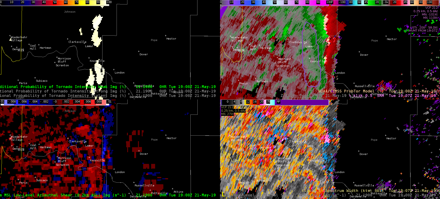
The NWS office in Little Rock started issuing tornado warnings on storms along the line so I pulled up the ProbTor product to see how it performed. For the storm near Knoxville, I can’t figure out what’s going on but I’ll attempt to document it here. For each time, I plot CPTI top left, LZK SRM top right, low-level AzShear bottom left, and spectrum width bottom right.

At 1902, the algorithm has a 60% ProbTor based on high LLAzShear (0.021 /s). I don’t see any high values on the low-level AzShear product, but perhaps I’m missing something.

At 1904, a bullseye of high LLAzShear pops up just east of Knoxville. ProbTor is still 60%, which now makes sense to me. This identified shear region is not in the right place for a tornado and is just convergence along the line, but the ProbTor uses what it has and seems to generate an understandable ProbTor.
At 1906 the LLAzShear bullseye east of Knoxville persists, but now the ProbTor drops to 19% with a LLAzShear max value of (0.009 /s). I still sample 0.020 /s in the bullseye. Spectrum width is not horrible (~7 kts) in the area of the AzShear bullseye. The AzShear detection is obviously misleading for a tornado, but the ProbTor product does not seem to be performing as we’d expect it.

At 1908 the bullseye in AzShear goes away and the ProbTor drops even further to 6% (as expected). The persistence of the bullseye in AzShear with an associated significant drop in ProbTor is perplexing for this case! -Atlanta Braves.

