
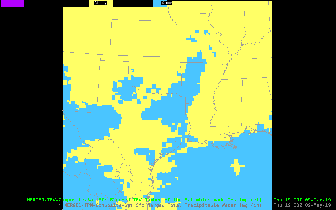
After making some adjustments to the color scaling, we’re able to mix model and analysis products of TPW. The GOM was mostly clear, while clouds covered most of the land. A very moist airmass was onshore, the Hammond LA GPS site measured 2.25″ of TPW.
The GFS and HRRR forecasts both indicated this maximum. The All-Sky LAP also did well, although it’s field is a reflection of the good GFS forecast. The Merged TPW did not generate these very large purple values (> 2″ of TPW) except in a very small area. The polar orbiter TPW retrievals used in Merged TPW must not have sampled these large values to advect in. The operational blended TPW (which relies heavily on GPS sites for the analysis over land) also showed a maximum. This points to the possibility that including the surface GPS network into Merged TPW and All-Sky LAP might be a way to increase the precision of these analyses.
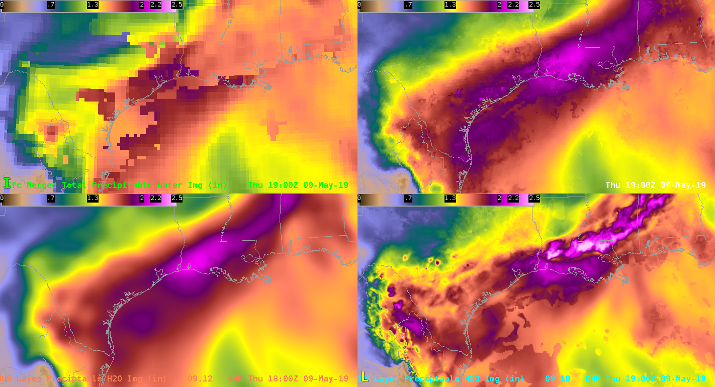
Analyses and forecasts all agreed well on the drier air over the central GOM.
JohnF