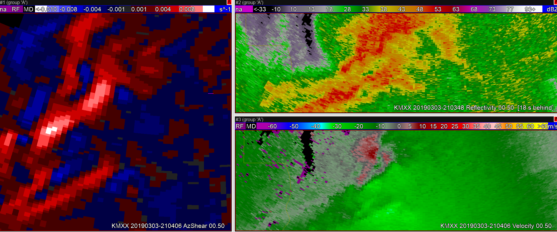
In this case, a weak brief tornado was formed along a QLCS. These are typically the hardest tornadoes to warn upon given their limited impacts, but there are usually storm structures that can be identified within the radial Velocity fields than can give some indication to formation. In this case a convergent vorticity signature can be spotted in the KMXX velocity field, at this time AzShear begins to increase as well.

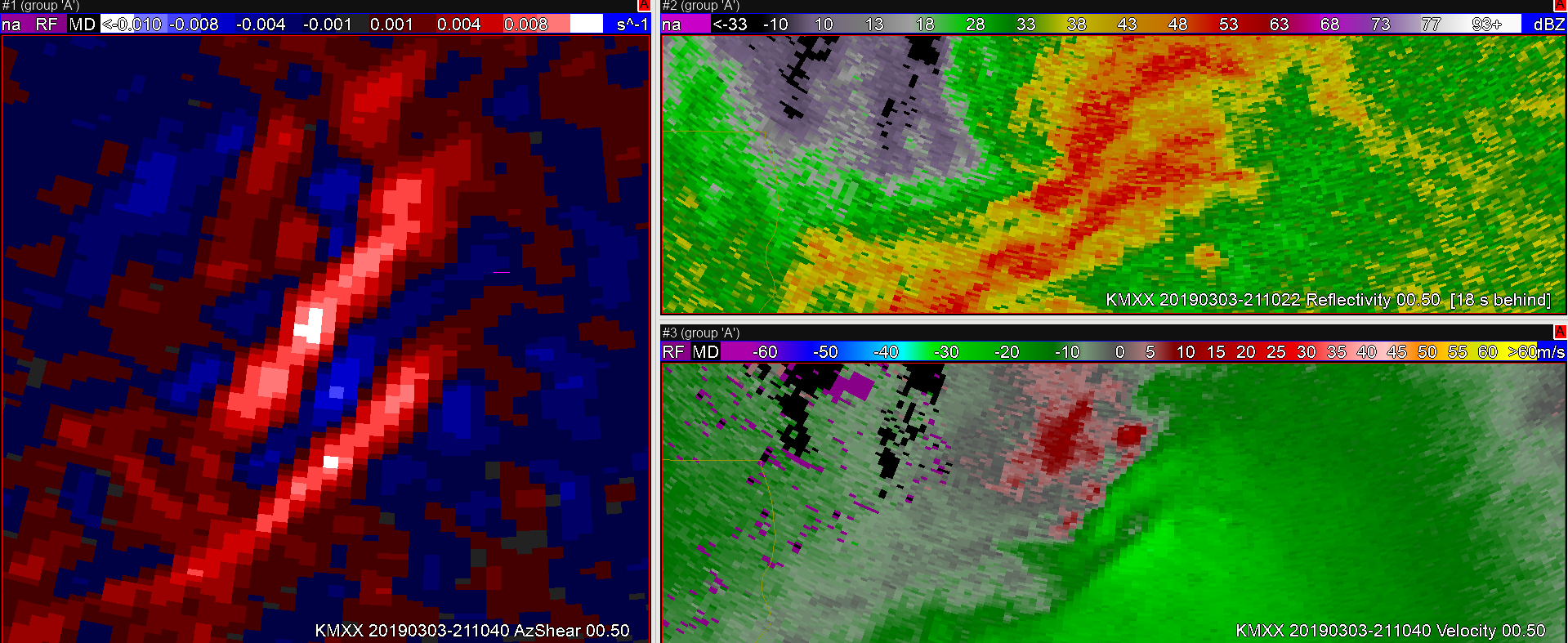
Later AzShear, continues to show a signature of increased vorticity along the gust front.

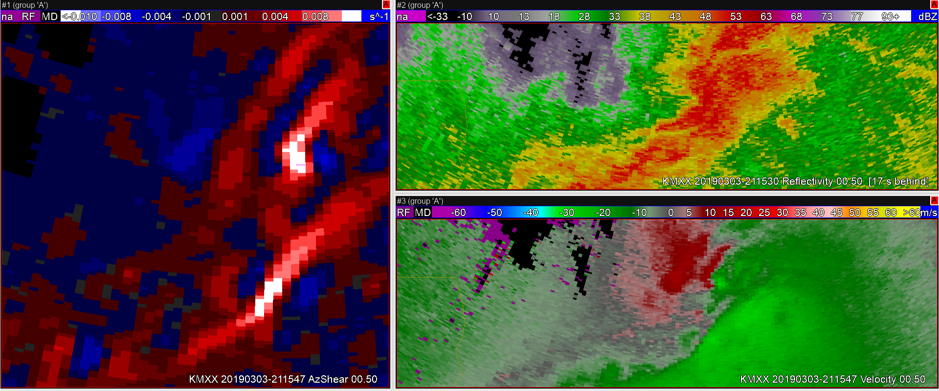
Finally, genesis. TaaDaa!

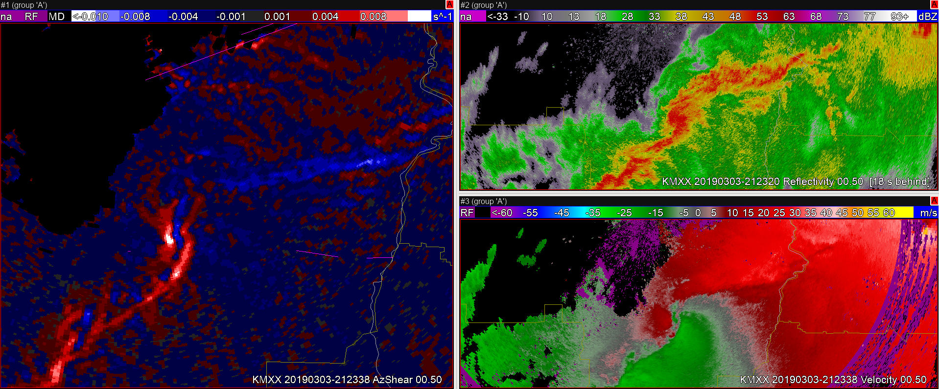
The AzShear threshold, continues to be met well after the tornado dissipates. So it’s not the perfect tornado indicator. However, the velocity field looks as if tornado potential could still be possible, and as a forecaster I would probably hold onto the warning regardless (especially given previous long track tors and guidance).

#ProtectAndDissipate
