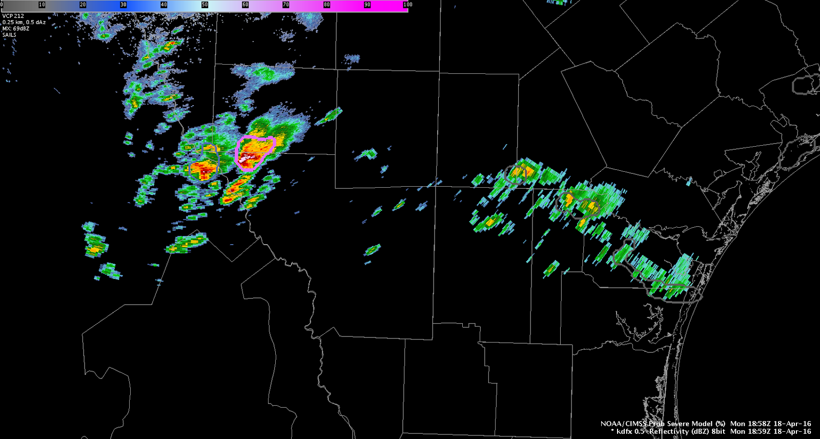
Severe thunderstorm warning issued for large hail in the NW edge of the CWA, just south of KCZT. Strong deep-layered shear (0-6 km layer), versus weaker 0-1 km values argues for hail producing supercells and possibly isolated downburst winds, versus tornadic storms. Reflectivity jumps in the mid-levels on the KDRT radar seemed to portend a near-future jump in ProbSevere values for this storm.
A collision of a northward moving convergence boundary with the southward moving synoptic boundary at the eastern end of the CWA has touched off additional convection. This is near a gradient zone in stability/shear. Lightning flash rates/overshooting tops are not overly impressive, as of yet. We’ll continue to monitor. – J-money